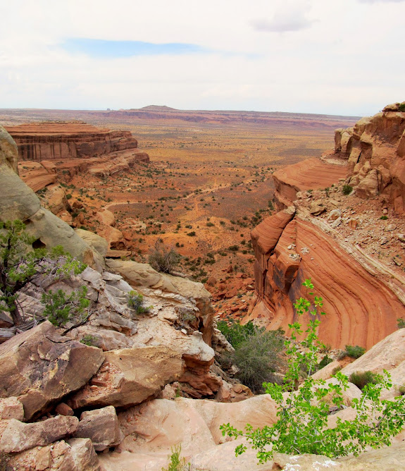
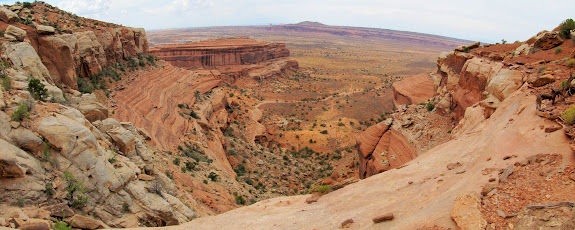
I slept in and got a late start on Saturday. I had been looking at this geocache for a couple of weeks, and the constant threat of rain made it look like a pretty safe bet–up on a narrow mesa with zero flash flood danger. I left town a little after 10AM and got to my parking spot at about 1:00. It seemed a long drive for so little reward. The pups leapt from the Jeep, glad to be done with the last few miles of rough road that made Boulder car-sick once again. I donned my pack and hooked up leashes and we started up the rough, bouldery hillside which I still wasn’t sure would lead to the top of Lone Mesa. The last cliff band looked implausible from the very bottom, though that often seems to be the case when scoping out a difficult scramble from a distance. It took more than 1.5 hours to reach the very top. Along the way I found a writing on a cliff by H.N. Pearson from February 1914. I still can’t imagine what I assume to be a cattleman would be doing climbing this rocky chute in 1914.
During the hike up I took a lot of breaks to let the dogs rest have a drink. There was a little bit of climbing before reaching the final cliff band, but at that point it got serious. After a long rest at the base of the weakness in the cliffs, I started hauling dogs up over my head then following them up the ledges and boulders. Torrey took it in stride because she’s accustomed to being foisted around like that while hiking in rugged country. Boulder, however, didn’t appreciate it. It got to the point where she wouldn’t come to me when I called so I could hand her up the next obstacle. After some difficulty we made it past the cliff band. All that was left was another steep, rocky slope before reaching the top of the mesa. I finally felt then that we’d made it.
Once the ground leveled out I was surprised to find a couple of chert flakes. I later found a big chunk that may have been a flint knife, though it wasn’t worked at all so there’s no way to know for certain whether it was man-made. After another long rest I pressed on with two tired dogs, of which Boulder seemed the worst-for-wear. Despite the worn-out dogs I thought we could handle the four miles round-trip to the geocache and back. That is, until we hit a huge field of cactus. I don’t think I’ve ever seen it so thick. I walked back and forth across the edge of the cactus looking for a way around or through it, but it was clear that these pups weren’t getting around it without losing some elevation and following the more rugged edge of the mesa. With 1.4 miles left to go and not knowing how far the cactus extended, I called it. We turned around right there and started heading back toward the Jeep. Shortly after that I knew I’d made the right call when Boulder refused to leave the shade of a tree while Torrey and I continued on. She was almost done for.
I took it really easy on the hike back. I left Boulder off the leash so she could set the pace. I found it more difficult getting the dogs down the boulders and ledges than it had been going up. Reaching the Jeep was a huge relief, and probably not just for me but also for the dogs. They got a huge drink of water and some food before we set back off across the bumpy road.
Just so that I didn’t feel I’d entirely wasted my Saturday, I stopped at the Intestine Man rock art panel on the way home. Leaving the dogs in the Jeep, I walked along the cliffs and discovered some pictographs and petroglyphs that I actually knew very little about. I didn’t research the place at all–I only had some coordinates and I vaguely recalled seeing a photo of the namesake Intestine Man–so it was a nice bit of wandering and discovery.
Photo Gallery
GPS Tracklog and Photo Waypoints (Google Earth .KMZ Format)
GPS Tracklog and Photo Waypoints (Google Maps)


Nice one. Want to be there.