Category: West Desert

  • West Dez

    In late October I spent a couple of days in Utah’s West Desert. My main reason for going there was to hike Notch Peak with a friend on Friday, but I headed out solo on Wednesday evening and camped that night, then spent all day Thursday exploring. I’d collected info from various blog and forum posts, as well as geocaches, and had a very full day planned. I had hoped to make it to the Tule Valley Hardpan for Wednesday’s sunset but I got too late a start. The last sunlight touched the mountaintops while I was near Lynndyl. One mountain in particular was quite photogenic, and it wasn’t until after I returned home that I realized it was Fool Creek Peak, which I’d hiked two years earlier. I camped near the Tule Valley Hardpan and read for a couple of hours before going to bed.

    Fool Creek Peak and some ravens, from near Lynndyl
    Fool Creek Peak and some ravens, from near Lynndyl


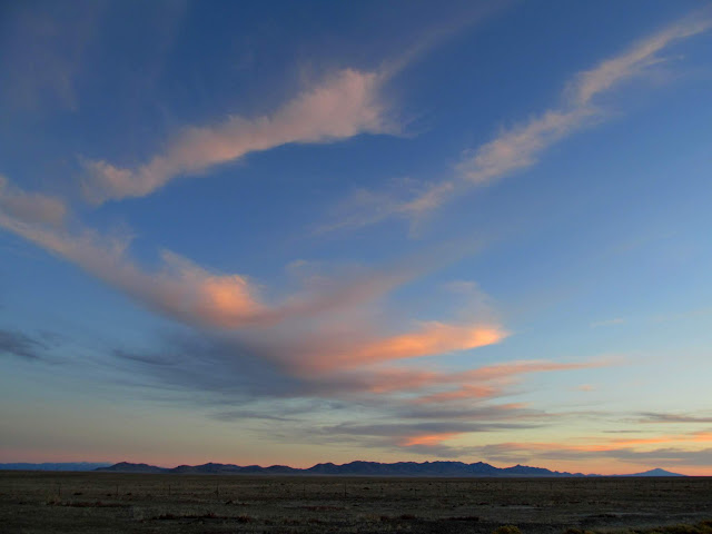
    Pink clouds over the Cricket Mountains
    Pink clouds over the Cricket Mountains


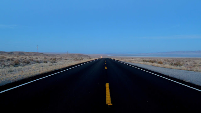
    5-second exposure on US-6
    5-second exposure on US-6


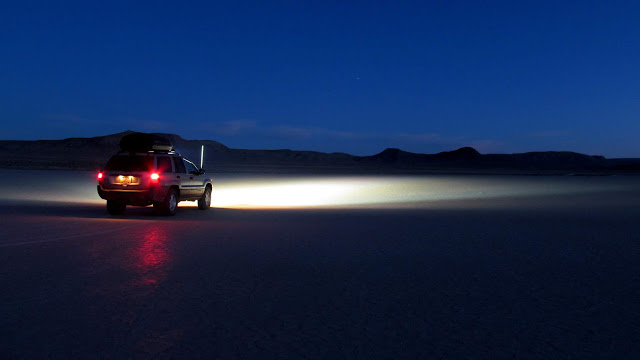
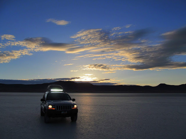
    Jeep on the Tule Valley Hardpan
    Jeep on the Tule Valley Hardpan


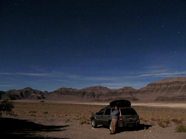
    Night selfie at my camp spot
    Night selfie at my camp spot


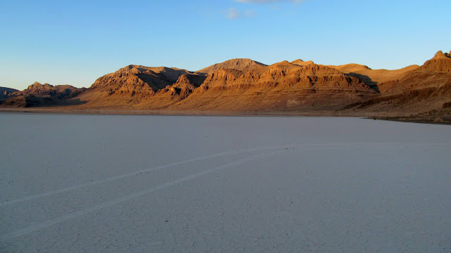
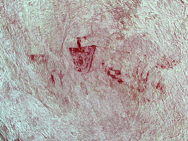
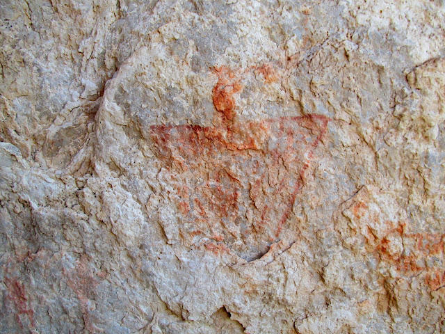
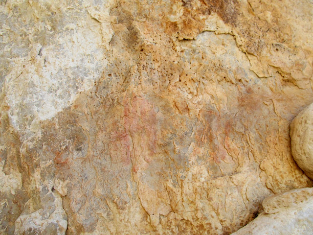
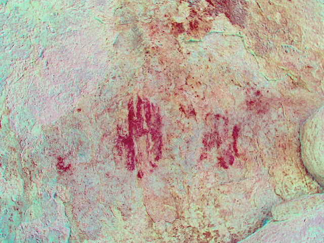
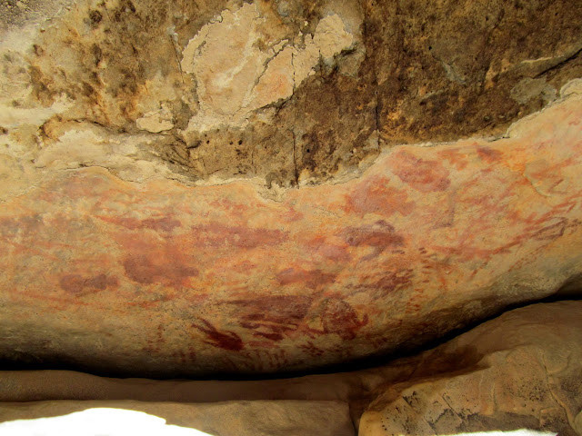
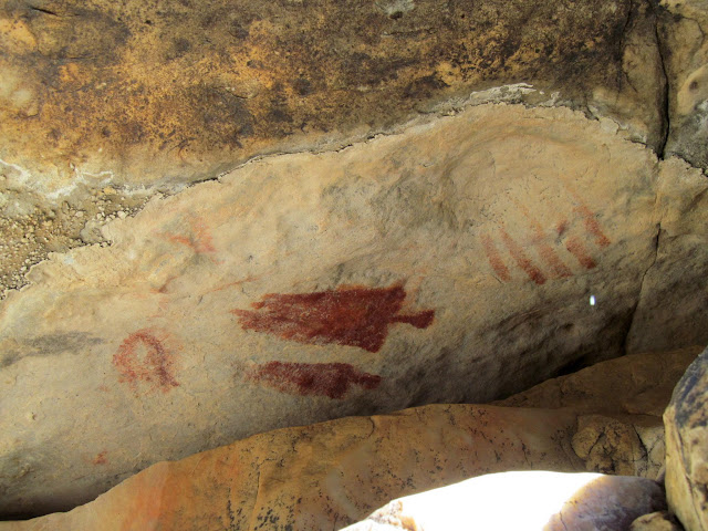
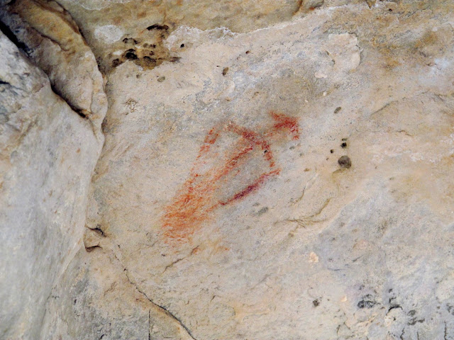
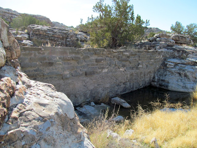
    I woke up early on Thursday and drove onto the Tule Valley Hardpan, then climbed atop the “island” in the middle of the playa to watch sunrise. After some more driving around on the playa (which was a lot of fun!), I drove to the south end of the Confusion Range to search for some pictographs near Painted Potholes. I didn’t know exactly where the rock art was, and it took me about 20 minutes to find it. The pictographs weren’t all that great, but it was nice finding some rock art in a new area and in a different style than I’m used to seeing. My next stop was at Ibex, where a sheepherder named Jack Watson tried to eke out a living beginning in the late 1800s. All that’s left are some concrete and stone dams, as well as some rock art that by far predates the white settlement.

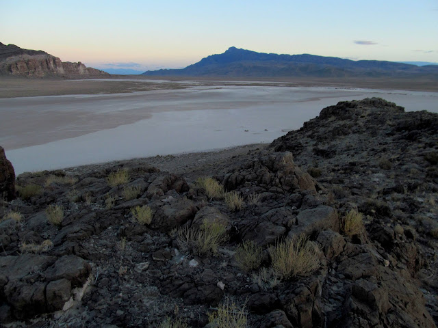
    On top of the island in the Tule Valley Hardpan at dawn
    On top of the island in the Tule Valley Hardpan at dawn


    Moon over the Barn Hills
    Moon over the Barn Hills


    View north toward Notch Peak
    View north toward Notch Peak


    Jeep on the Tule Valley Hardpan
    Jeep on the Tule Valley Hardpan


    Sunlight striking the Barn Hills
    Sunlight striking the Barn Hills


    My shadow
    My shadow


    Don’t boss me!
    Don't boss me!


    Painted Rock Mountain
    Painted Rock Mountain


    Crack containing some pictographs
    Crack containing some pictographs


    Faded pictograph panel
    Faded pictograph panel


    Faded pictograph panel (DStretch enhanced)
    Faded pictograph panel (DStretch enhanced)


    The largest and most clear pictograph
    The largest and most clear pictograph


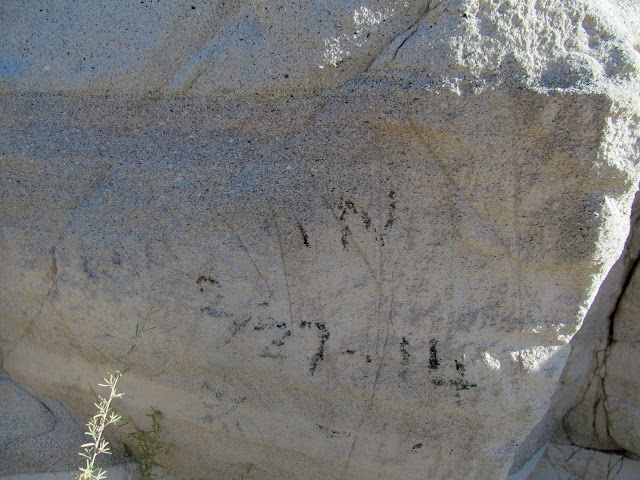
    Faded pictographs
    Faded pictographs


    Faded pictographs (DStretch enhanced)
    Faded pictographs (DStretch enhanced)


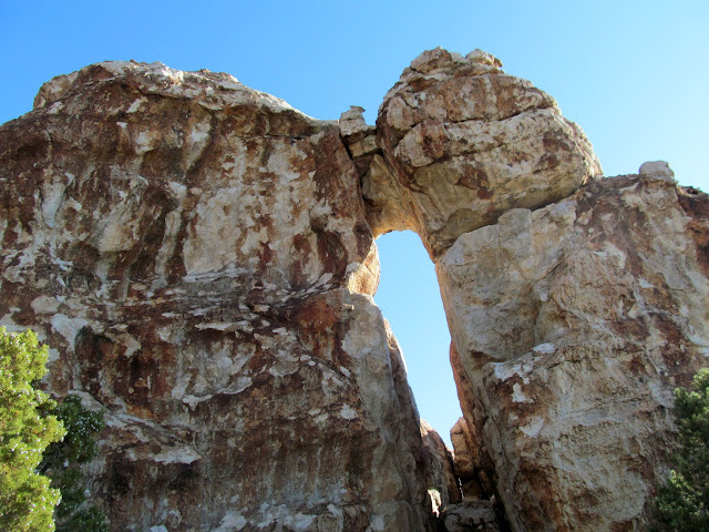
    Natural arch near the rock art
    Natural arch near the rock art


    1929 inscription near the Snake Pass Road
    1929 inscription near the Snake Pass Road


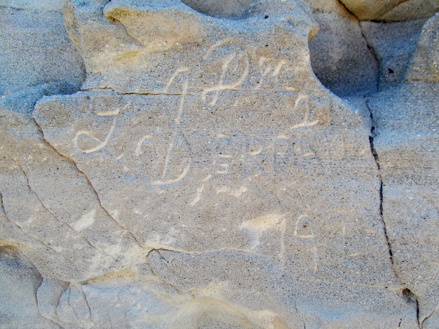
    Faded 1914 inscription near the Snake Pass Road
    Faded 1914 inscription near the Snake Pass Road


    One of several small dams at Ibex
    One of several small dams at Ibex


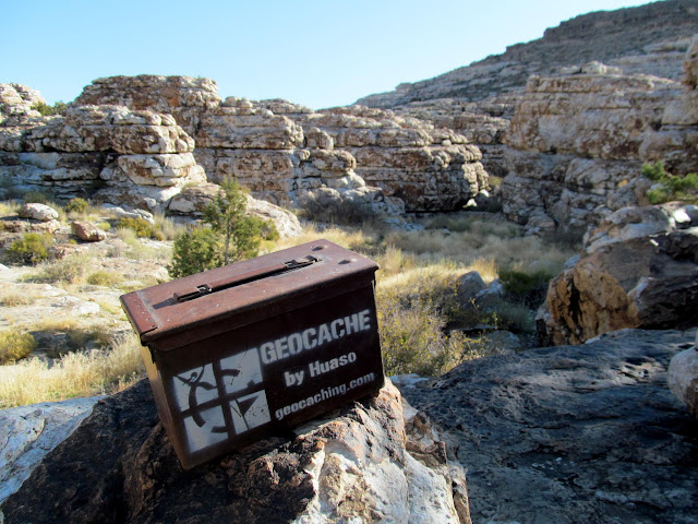
    Ibex geocache
    Ibex geocache


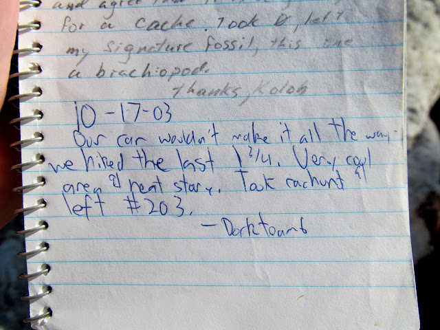
    My friend Chris’ log from 15 years earlier in the geocache
    My friend Chris' log from 15 years earlier in the geocache


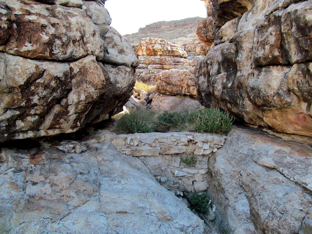
    Small dam near some rock art
    Small dam near some rock art


    Petroglyphs on a ledge
    Petroglyphs on a ledge


    A bug of some sort?
    A bug of some sort?


    Human figures and fingerprints
    Human figures and fingerprints


    Almost Barrier Canyon Style-looking figures
    Almost Barrier Canyon Style-looking figures


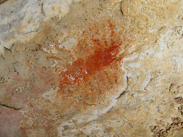
    Lone pictograph
    Lone pictograph


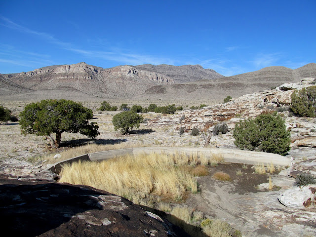
    Larger dam at Ibex
    Larger dam at Ibex


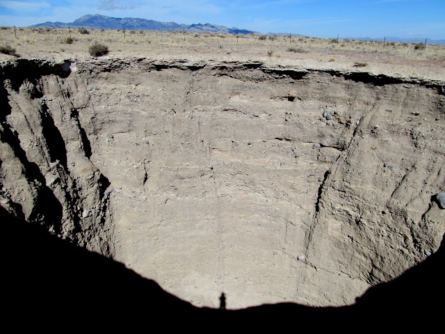
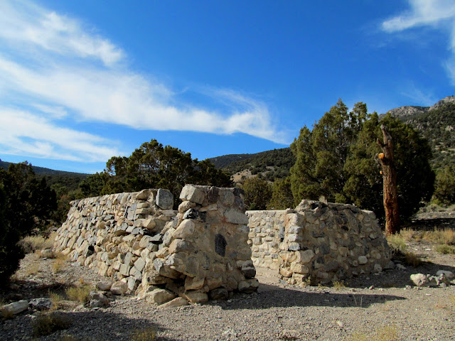
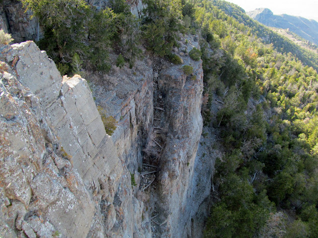
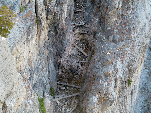
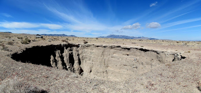
    I left Ibex heading north and, after stopping briefly for lunch, crossed over to the north side of US-6. I visited a very large and impressive sinkhole–my entire house would fit inside with plenty of room to spare. I continued north, checking out the northern end of the House Range and Swasey Mountain. I spent quite a while walking around the Antelope Spring Civilian Conservation Corps camp, where many building foundations still remain. Just below Swasey Peak, I stopped at an overlook between Sinbad and Trail canyons that had a nice view west into Nevada. From the overlook, an amazing trail drops through the cliffs to the west. It appears to partially follow a natural crack in the cliffs, but part of it was blasted out, and logs and rock fill has been added. I didn’t have time to follow the trail, but it’s on my to-do list for the future.
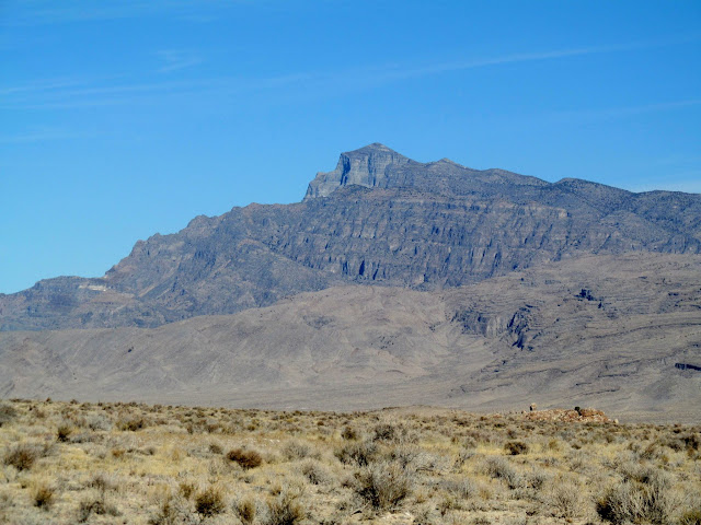
    Notch Peak viewed from the north end of the Barn Hills
    Notch Peak viewed from the north end of the Barn Hills


    West Desert Sinkhole
    West Desert Sinkhole


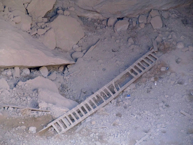
    Ladder inside the sinkhole
    Ladder inside the sinkhole


    West Desert Sinkhole
    West Desert Sinkhole


    My shadow on the far side of the sinkhole
    My shadow on the far side of the sinkhole


    Reflection on Sevier Lake
    Reflection on Sevier Lake


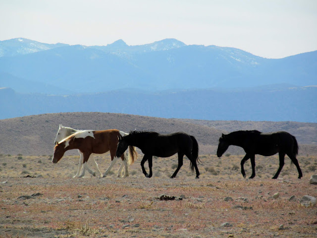
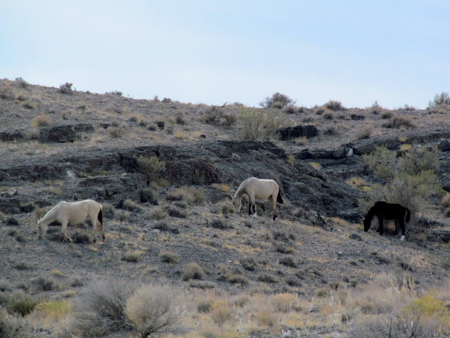
    Wild horses near Antelope Spring Reservoir
    Wild horses near Antelope Spring Reservoir


    Wild horses near Antelope Spring Reservoir
    Wild horses near Antelope Spring Reservoir


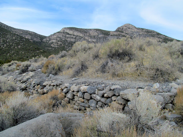
    Rock wall at the Antelope Spring CCC Camp
    Rock wall at the Antelope Spring CCC Camp


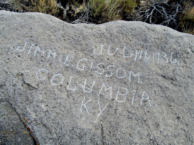
    Inscription by a CCC enrolee: July 14, 1936, Jimmie Gissom, Columbia, KY
    Inscription by a CCC enrolee:  July 14, 1936, Jimmie Gissom, Columbia, KY


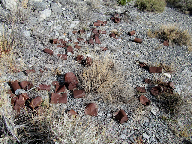
    Can dump
    Can dump


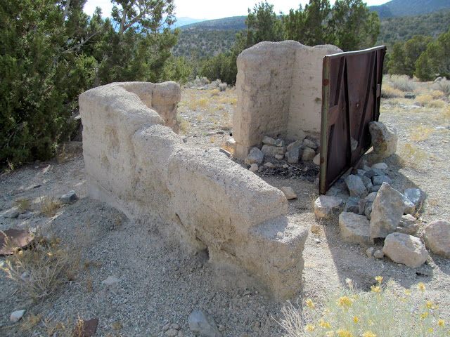
    Remains of a concrete building
    Remains of a concrete building


    Rock walls
    Rock walls


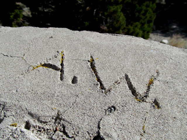
    A.W. initials in the mortar
    A.W. initials in the mortar


    Handprint in the mortar
    Handprint in the mortar


    Concrete floor
    Concrete floor


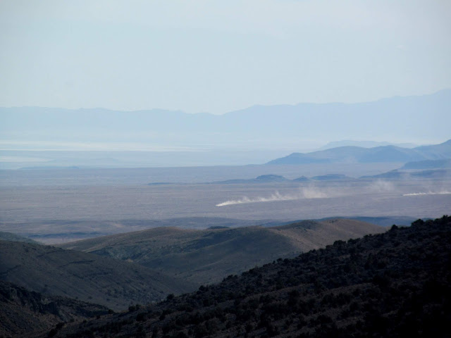
    Vehicular dust clouds in the desert
    Vehicular dust clouds in the desert


    View across Tule Valley into Nevada from Swasey Mountain
    View across Tule Valley into Nevada from Swasey Mountain


    Crazy trail blasted into the cliff
    Crazy trail blasted into the cliff


    Closeup of the trail
    Closeup of the trail


    I was running low on fuel–I’d driven well over 250 miles in the West Desert–so I headed back to the highway and into Delta to fill the tank in the Jeep. Then I headed toward the Notch Peak trailhead and found a spot to camp at Miller Cove and settled in for the night. The next morning I would meet my friend, Jim, for the hike to the summit of Notch Peak.
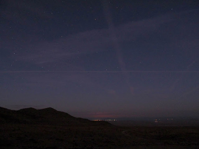
    View toward Delta from Miller Cove
    View toward Delta from Miller Cove


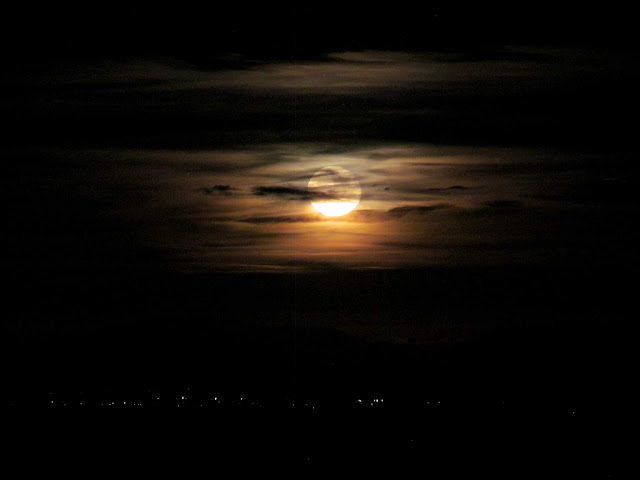
    Full moon rising above Delta
    Full moon rising above Delta


    Photo Gallery: West Dez