
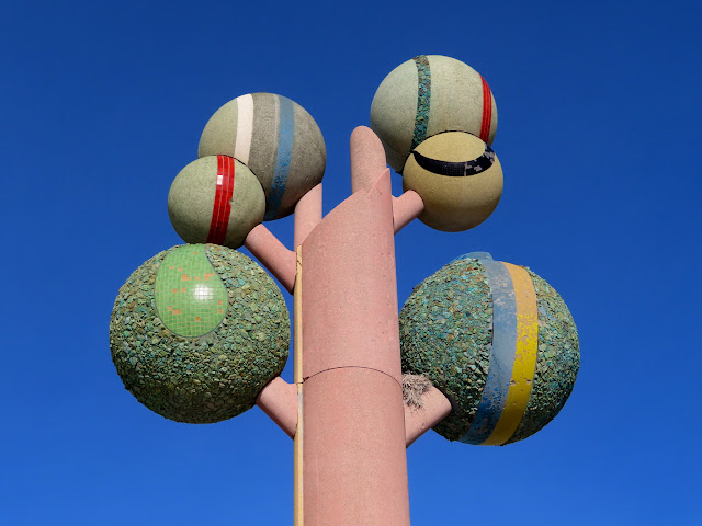
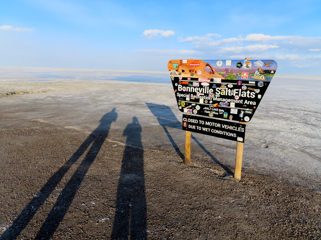
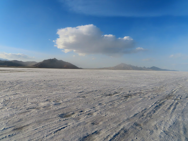
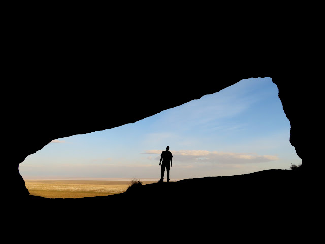
On the last weekend of April 2020 it was still a struggle to find a place to legally recreate and camp without violating local COVID restrictions in Utah. In another reversal of roles, I met Chris at his place in Salt Lake City and he drove us in his Honda Ridgeline on a trip clockwise around the Great Salt Lake. We visited several caves and mines, some works of art, some railroad-related sites, and the tri-state corner of Utah, Nevada, and Idaho. After meeting at his apartment near the Utah state capitol and loading all my gear into his truck, we headed west on I-80. Our first stop was the Tree of Utah. I have a faint memory as a kid of stopping there on the way to or from Reno with my parents. This was my first time as an adult seeing the sculpture. We also stopped at the Bonneville Salt Flats before hitting the dirt roads around the Silver Island Mountains. We checked out a cave listed on the USGS topo map, and then while looking for a place to camp we ran across a mine shaft. We drove around some more looking for a good place to camp (with 4G cell service) and ended up having to backtrack a bit to a camp spot we’d seen earlier just south of Tetzlaff Peak.
Tree of Utah
Sign at the Bonneville Salt Flats
Bonneville Salt Flats
Cave near Rishel Peak
View toward the Salt Flats
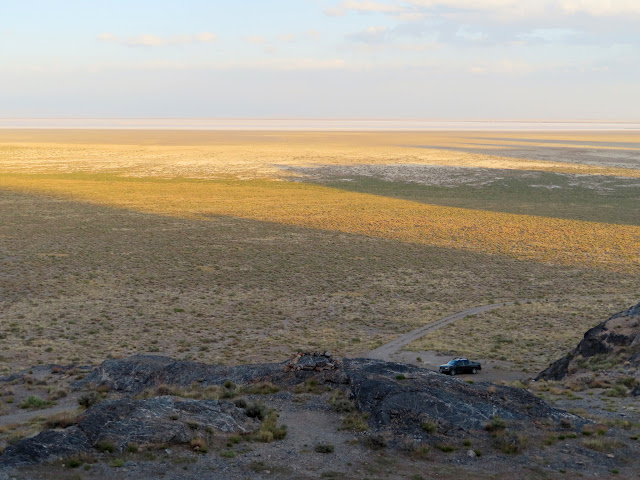
Mine shaft with Silver Island on the horizon
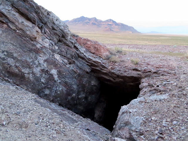
The following morning we continued our counter-clockwise loop around the Silver Island Mountains. I’d planned the entire trip but I didn’t know what to expect since this area was quite unfamiliar to me. We drove to a spot west of Lamus Peak and hiked to a couple of geocaches. The hike took us up a small drainage and eventually led to an old miner’s trail that I had no idea existed. Once we hit the trail it led to a mine shaft that cut about 500′ through the mountain and came out the other side. It was a really fun and unexpected passage through the mine. Luckily we always carry headlamps with us!
Camp spot south of Tetzlaff Peak
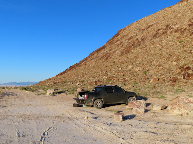
Mining ruins
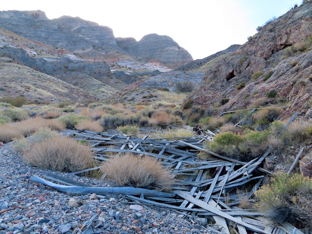
A dryfall we had to bypass
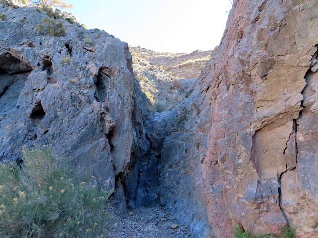
Below the miner’s trail
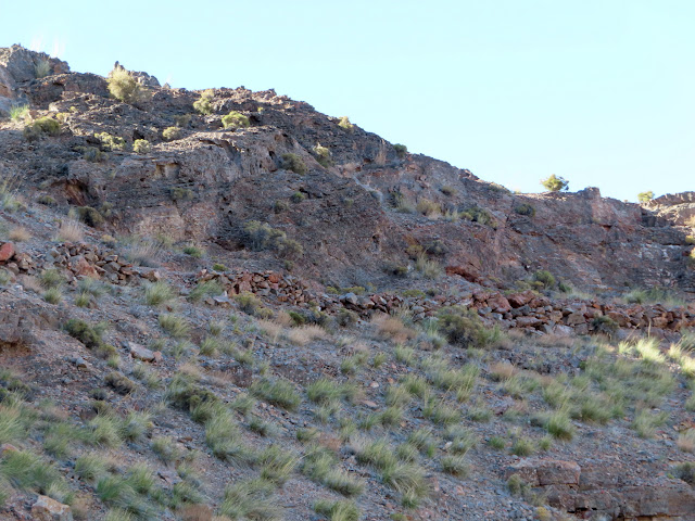
Walking the miner’s trail
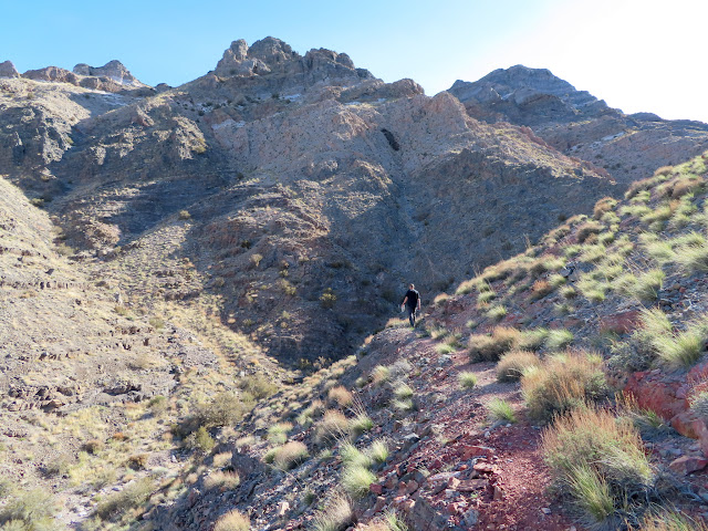
Miner’s trail
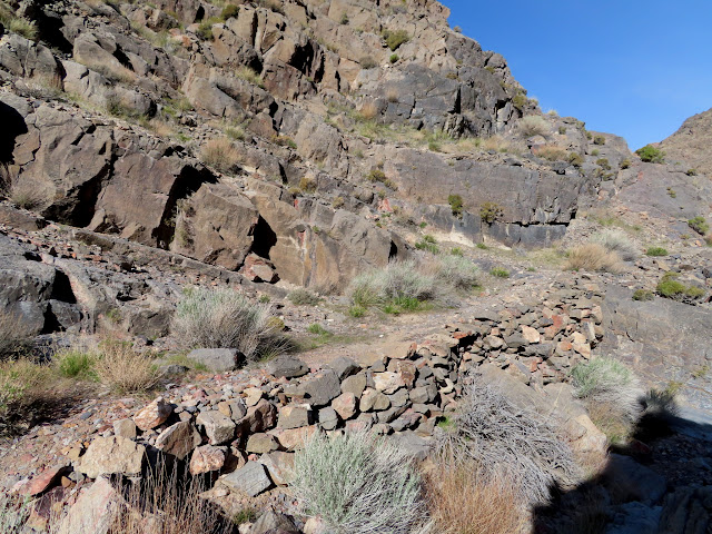
Inside a mining tunnel
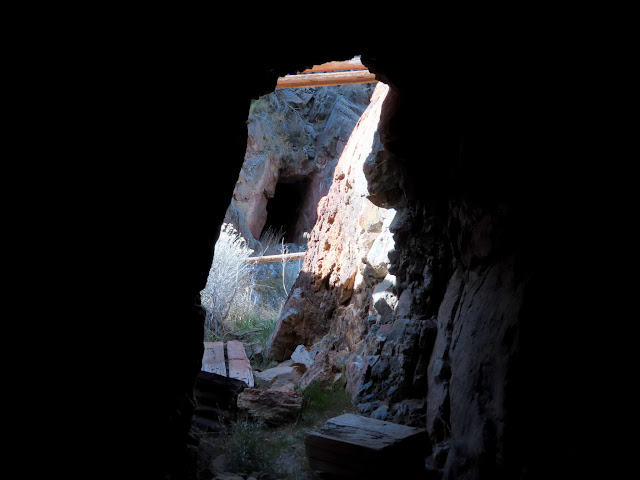
Entering the 500′ tunnel
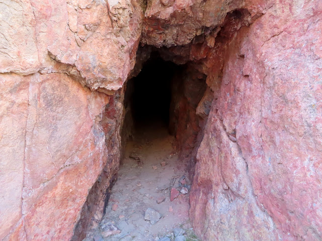
Coming out the other side
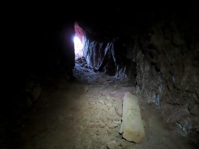
Far side of the tunnel
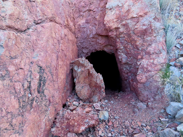
View from atop the tailings pile
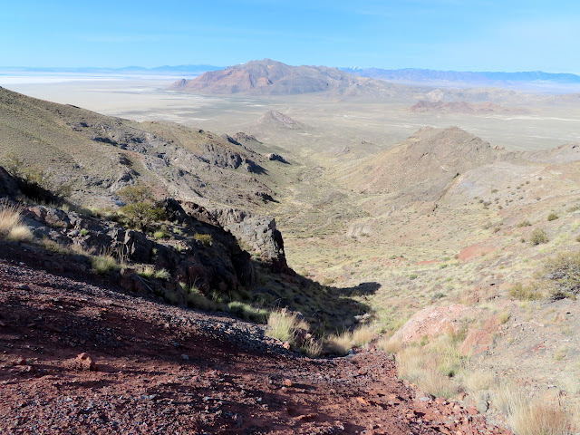
Tetzlaff Peak and the Bonneville Shoreline

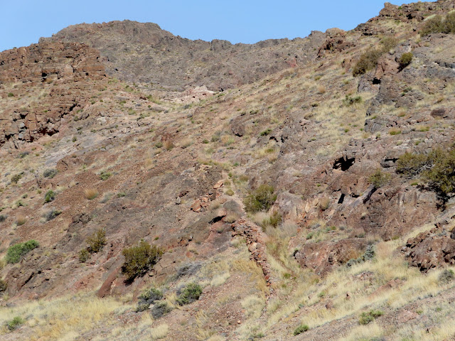
Another portion of the miner’s trail
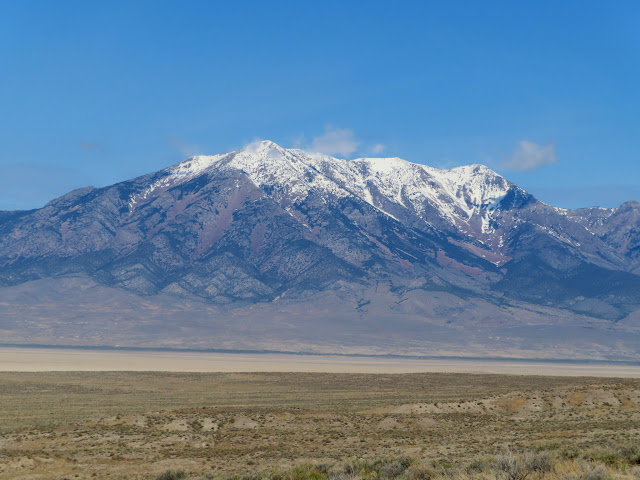
Pilot Peak across the border in Nevada
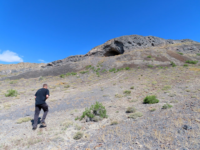
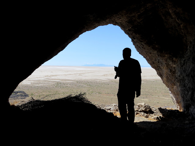
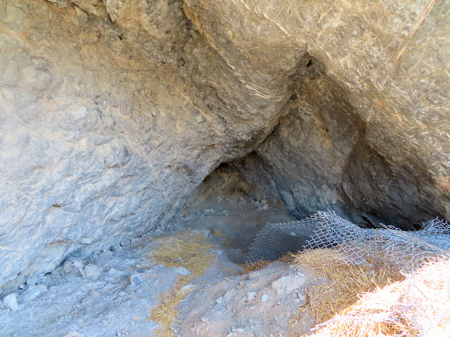
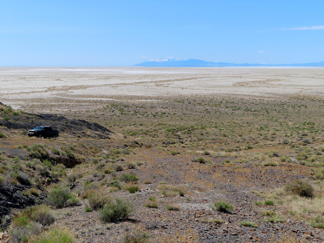
Next we drove to Floating Island to see a cave that had been excavated by archaeologists. There was really nothing to see inside except the chain link fencing and straw that they’d left behind after the excavation. We also found a geocache on the island before moving on toward Donner-Reed Pass.
Hiking to a cave on Floating Island
View out of Floating Island cave
Back of the cave
Ibapah Peak 75 miles distant
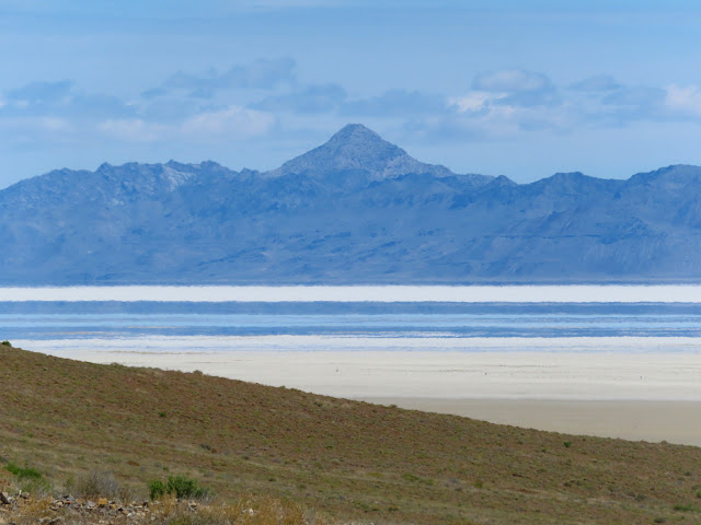
Desert Peak
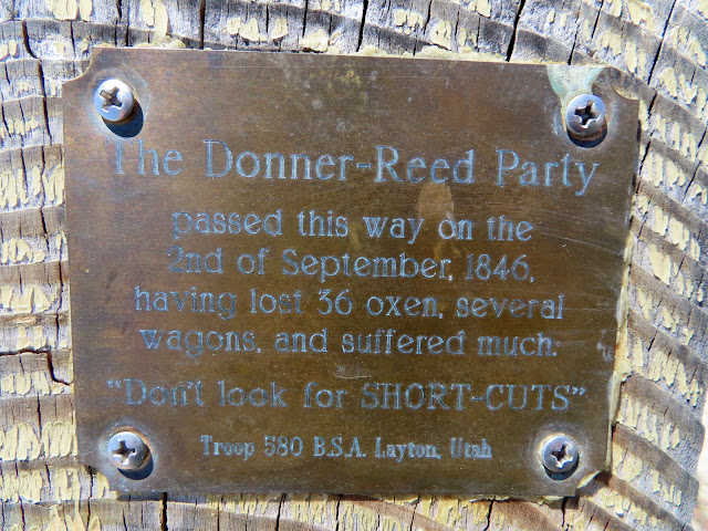
Plaque at Donner-Reed Pass
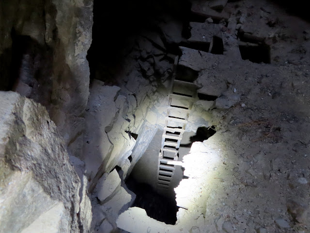
The road led us to Crater Island where we visited a couple of mining areas. One mine went in quite far and we found ourselves standing atop a sketchy false floor with a ladder leading to a lower level. That was as far as we went before retreating to safer ground and completing the loop around Silver Island.
Mining junk at Crater Island
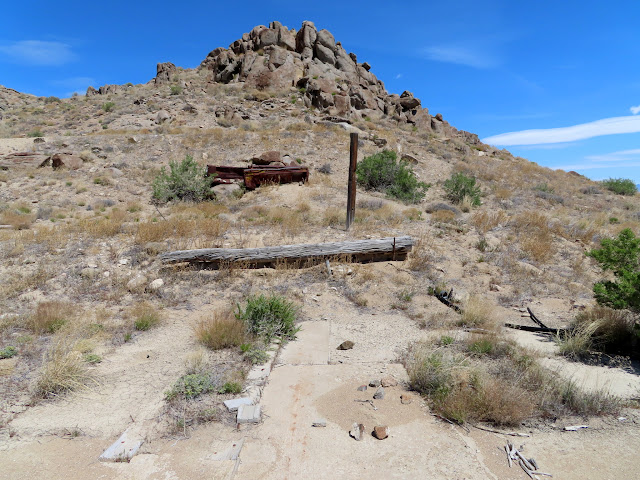
Old truck bed
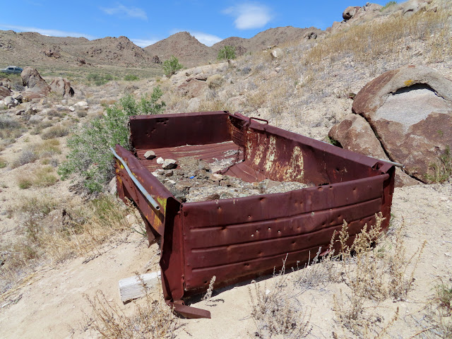
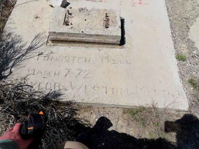
Tungsten Mill, March 7, 1972, Taylor-Weston Mining
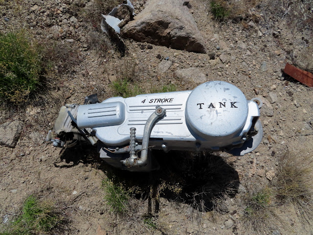
TANK
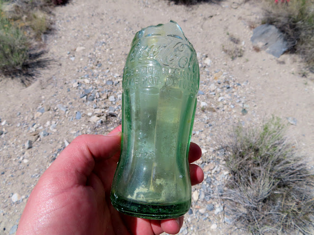
Coke bottle
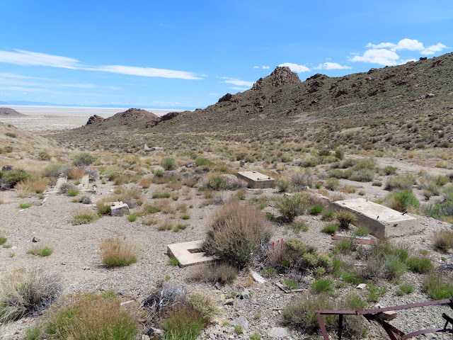
Concrete foundations
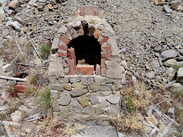
Oven or kiln
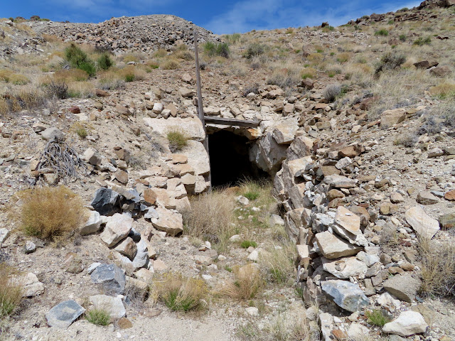
Mine entrance
Ladder to lower level of the mine
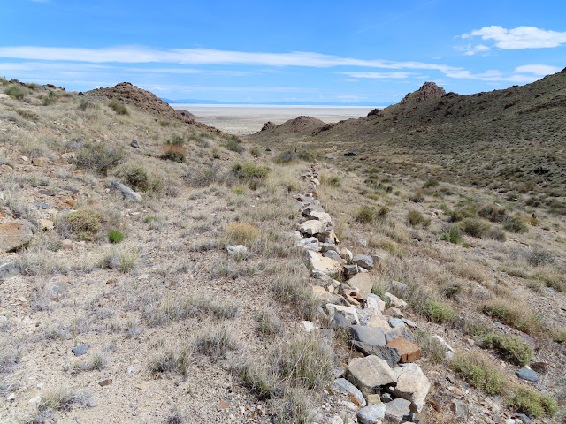
Mine road
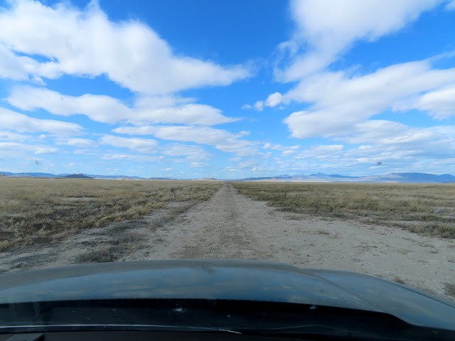
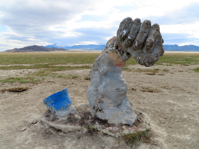
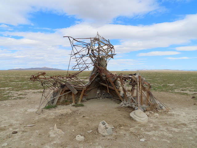
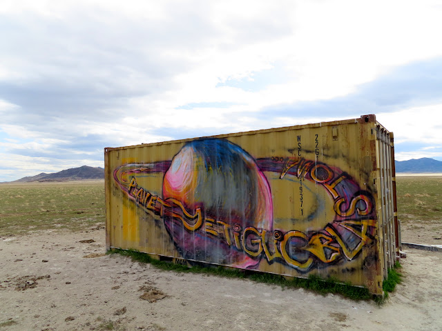
There was a lot of driving to our next stop at the Sun Tunnels. Next we drove a short distance to property owned by some fellow geocachers where their son, Christopher Wawrinofsky, had made several popular works of art.
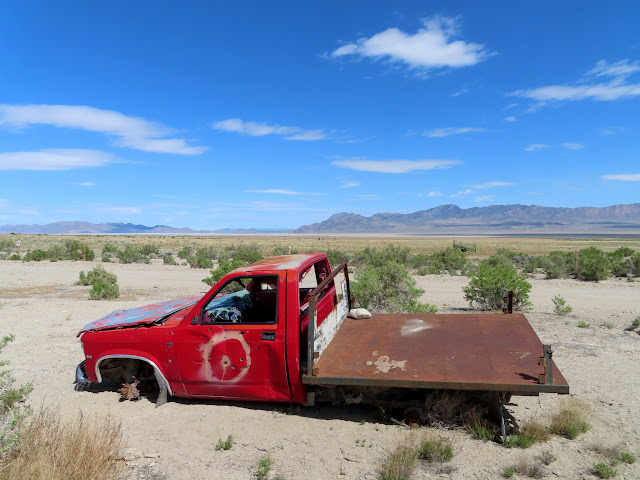
Abandoned truck
Road along Grouse Creek south of the Sun Tunnels
Sun Tunnels
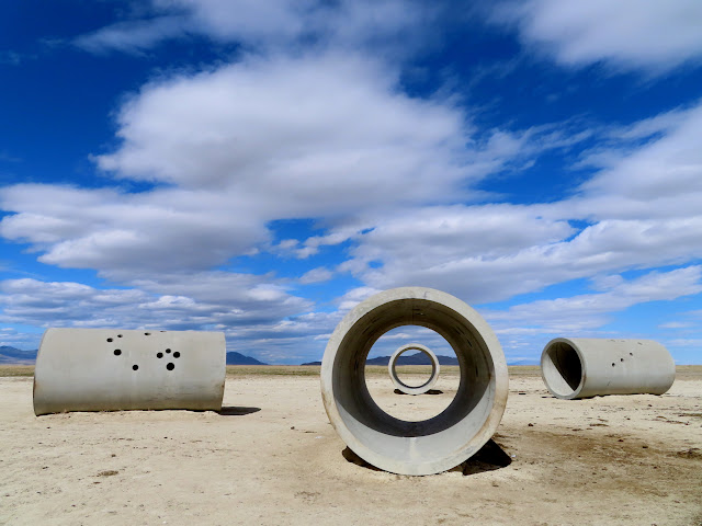
Sun Tunnels
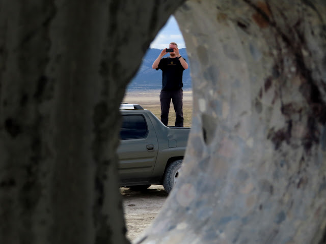
Pigeon Mountain through a Sun Tunnel
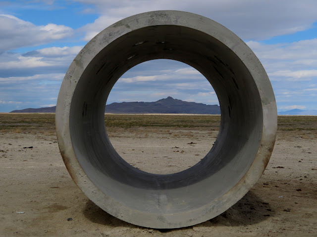
Artwork by Christopher Wawrinofsky
Artwork by Christopher Wawrinofsky
Artwork by Christopher Wawrinofsky
Our final stops of the day were at Lucin and the Owl Spring CCC camp. We saw the first pavement of the day while searching for a place to camp, which we found at Devil’s Playground. There, while looking for a place to camp, Chris stopped on a dirt road while we checked our phones for 4G data. Once we determined we had good enough service to camp he drove forward and dropped off a steep ledge in the road that did some damage to his exhaust. That would set the tone for the rest of the trip, both literally and figuratively.
Telephone booth at Lucin
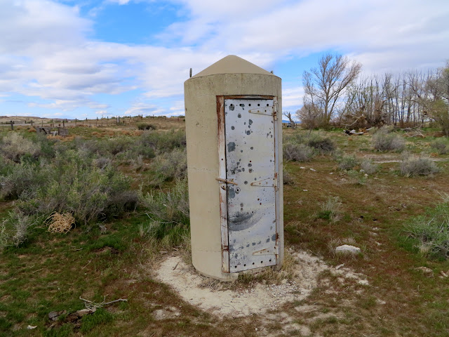
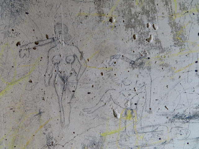
Drawings inside the phone booth
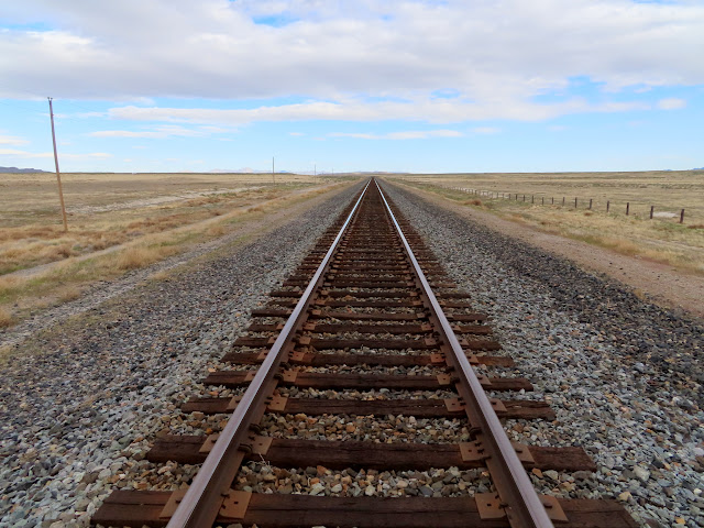
Railroad tracks on the Lucin Cutoff
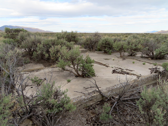
Owl Spring CCC camp
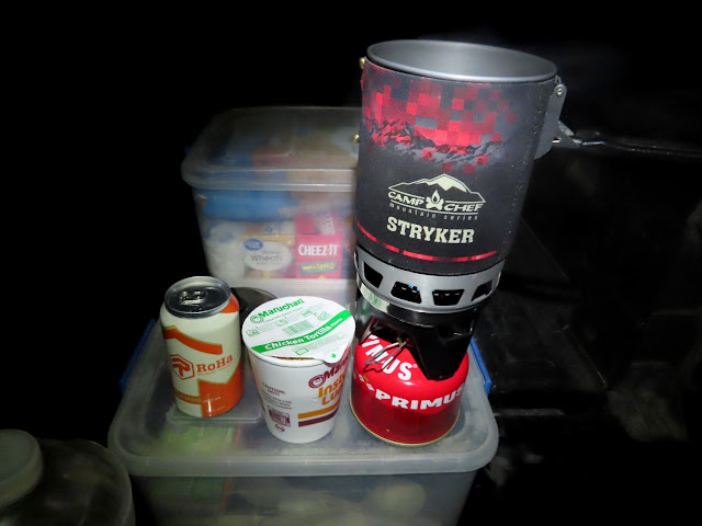
A healthy dinner
On Saturday morning we woke up and headed toward the tri-state corner of Utah, Nevada, and Idaho. Chris’ truck’s exhaust was not only louder than normal, but it was hanging down so low that it dragged on the smallest of obstacles in the road. We stopped along Hardesty Creek to find a geocache and inspect some overhangs above the creek. Next we tried to cross Goose Creek, which is the shortest and easiest access to the tri-state corner. The creek was running too high, however, and we turned around. While driving the very short distance back to the main road we encountered a guy in a truck who backed up off the road to let us pass, and as he did so he backed over a metal fence post and punctured a tire. We stopped for a while to help him get his truck free of the fence post and made sure he was able to change the tire before moving on.
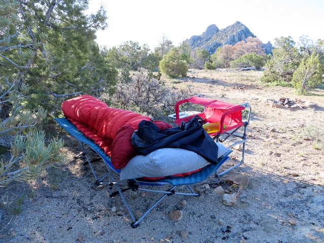
Camp at Devil’s Playground
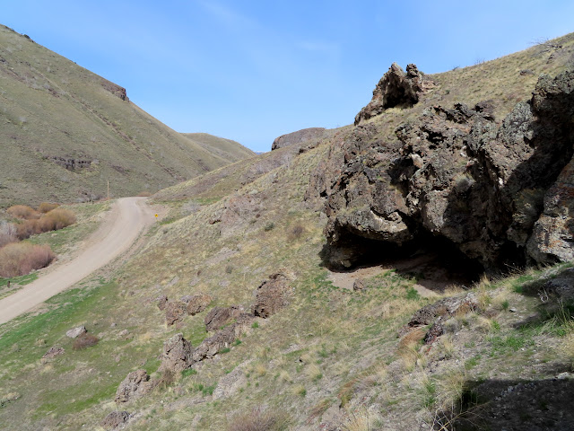
Checking out some overhangs along Hardesty Creek
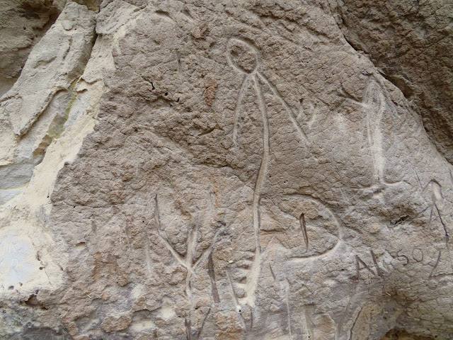
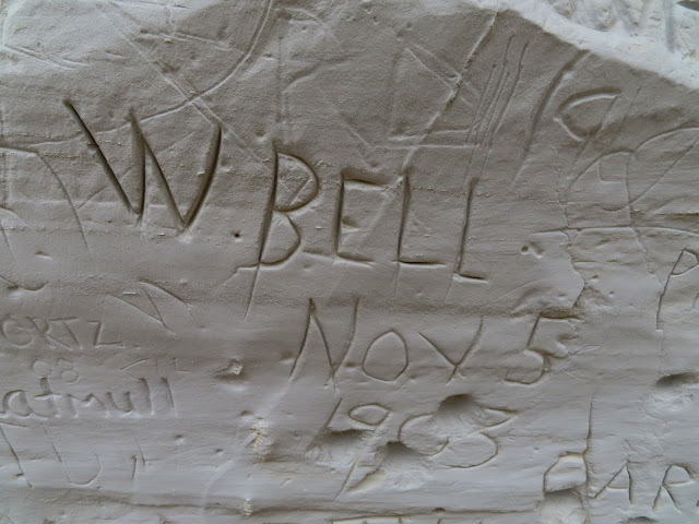
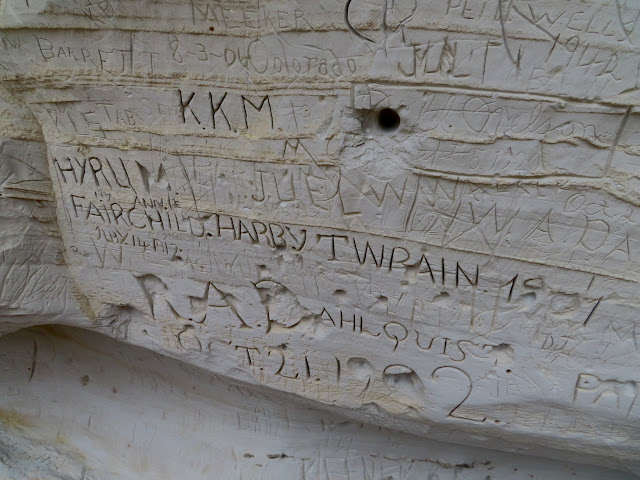
Next we drove almost all the way to Oakley, Idaho, then drove along Trapper Creek looking for an alternate route to the corner. Along the way we found some inscriptions and rock art. We came to the crossing of Trapper Creek to get into Rodeo Creek, and while the crossing wasn’t very deep there some rocks in the stream large enough to finish the job of ripping Chris’ exhaust off the truck. He waded into the stream and moved the rocks and we were on our way!
Elk and human carving along Trapper Creek

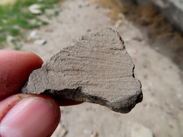
Potsherd
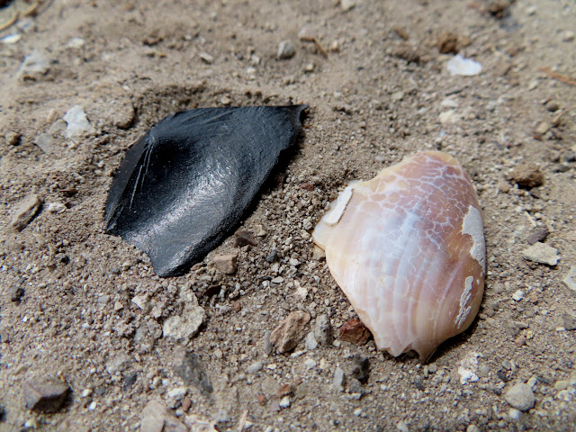
Obsidian flake and shell
Incised glyphs along Trapper Creek
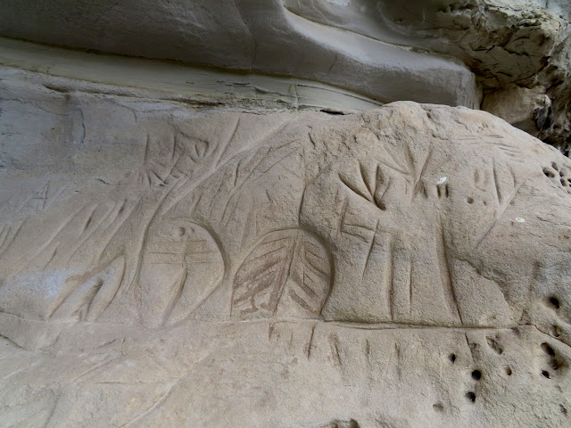
Incised glyphs along Trapper Creek
W. Bell, Nov. 5, 1903
Many old inscriptions
Chris clearing large rocks from the Trapper Creek crossing, Ibex Peak in the background
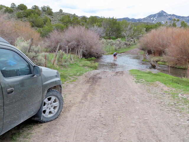
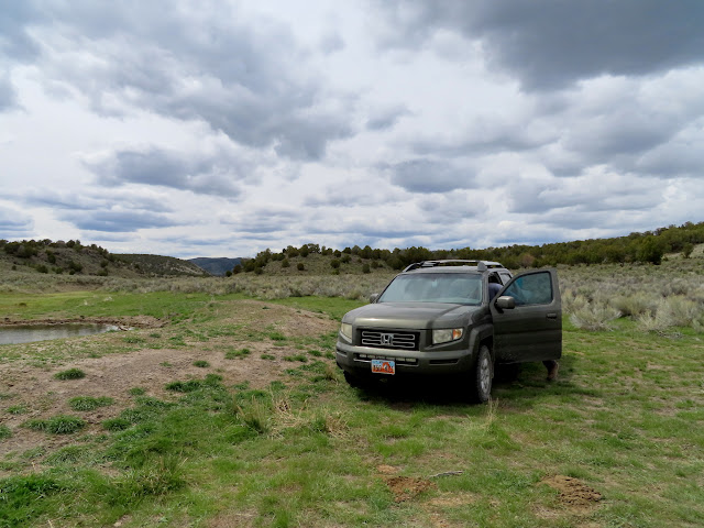
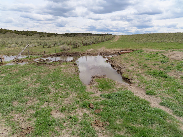
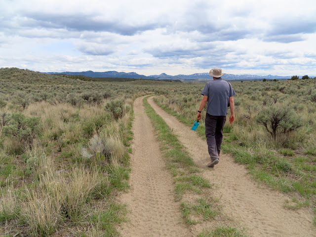
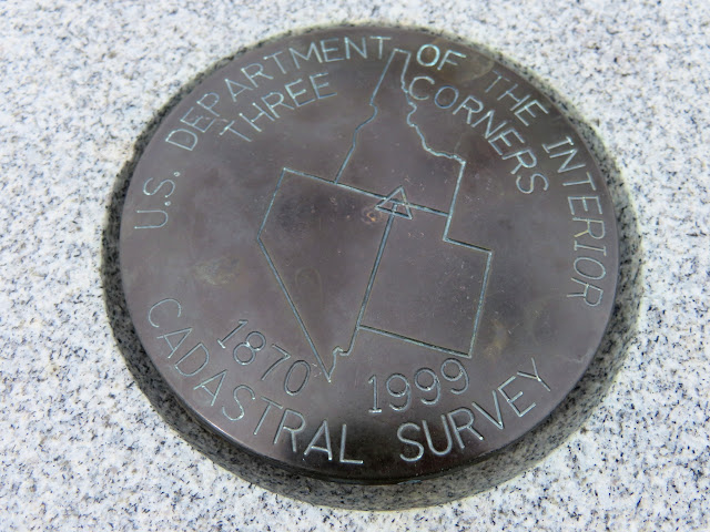
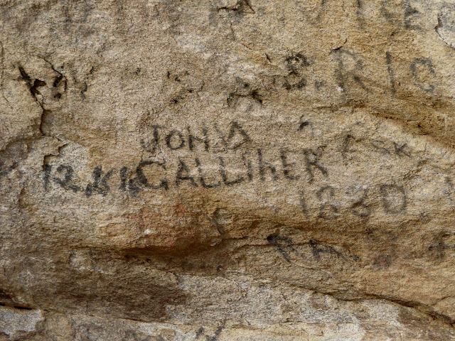
It was tedious driving to get as far as N E Creek. The road was a two-track and Chris had to drive to one side or another of the ruts to keep his exhaust from dragging in the center of the road. At N E Creek there was a big mud hole and we decided to hike from there since it was just under 1.5 miles to the tri-state corner. We reached the corner and found a geocache there, then ambled back along the road to his truck. Passing through City of Rocks on our way back to Utah, we stopped along the road and saw a few inscriptions. We entered Utah and found a gravel pit near Dove Creek, west of Rosette, in which to camp.
Parking spot at N E Creek
Mud bog crossing N E Creek
Walking to the tri-state corner
Four flags at the tri-state corner
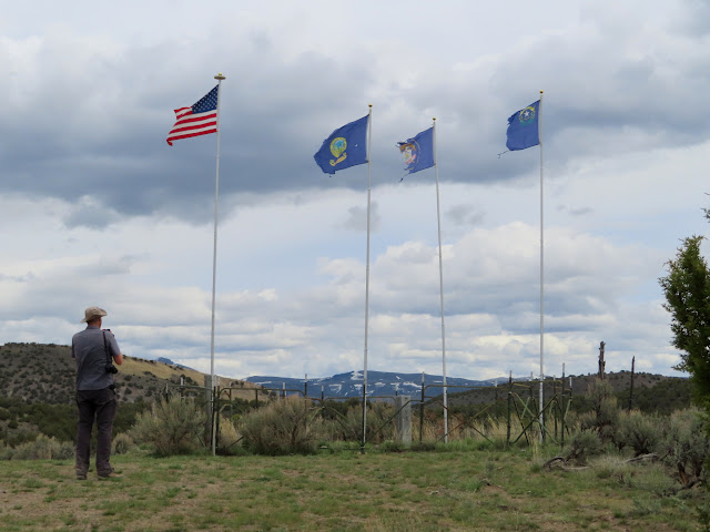
Tri-state corner
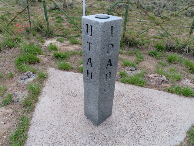
Tri-state corner
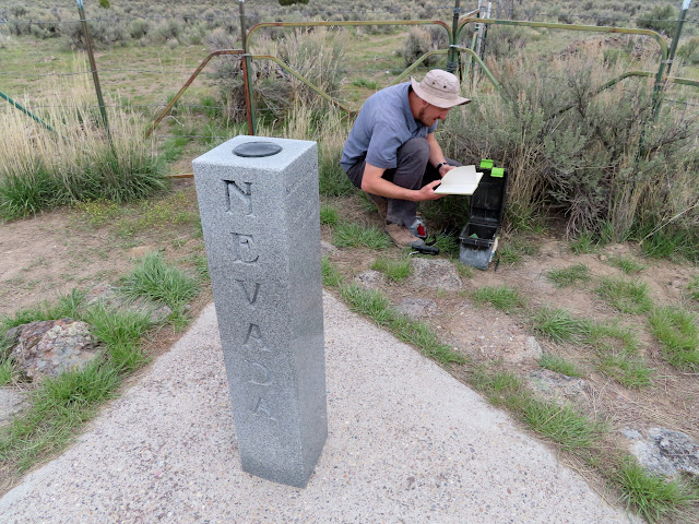
Tri-state corner
City of Rocks inscription: John Galliher 1880
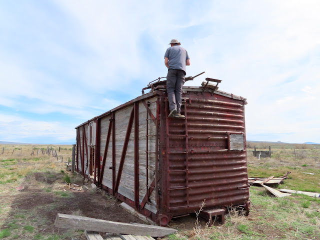
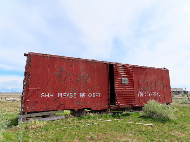
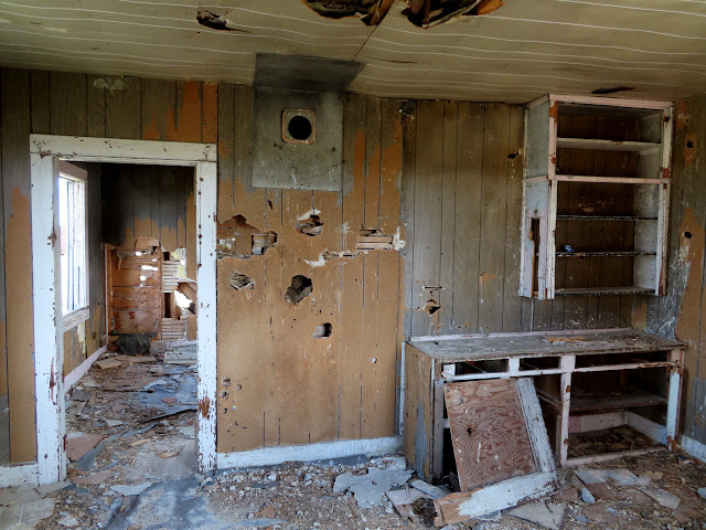
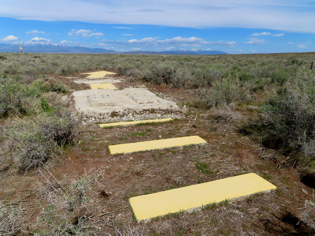
On Sunday morning we stopped in Park Valley and found a couple of geocaches and then headed south toward the northern end of the Great Salt Lake. The day consisted mostly of quick stops at Russian Settlement, Kelton, the Wheeler Survey Monument, and Spiral Jetty. The one exception was a fair bit of walking that we did around Locomotive Springs. The roads going in were all gated, but there were no signs saying we couldn’t enter on foot. We walked in and looked at several old boxcars and buildings. We also found a concrete navigation arrow used for U.S. mail delivery from 1920 through the 40s.
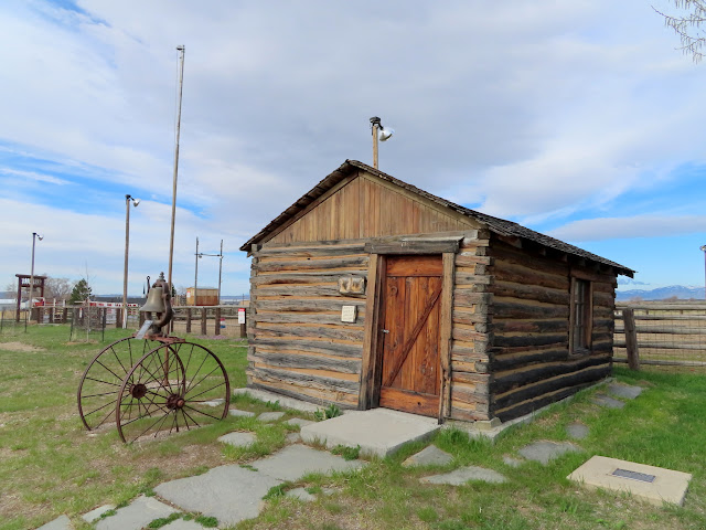
Cabin in Park Valley
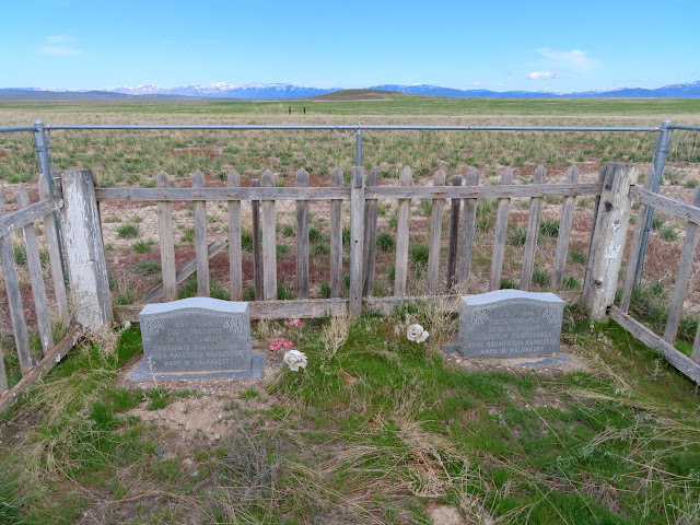
Graves at Russian Settlement
Kelton Cemetery
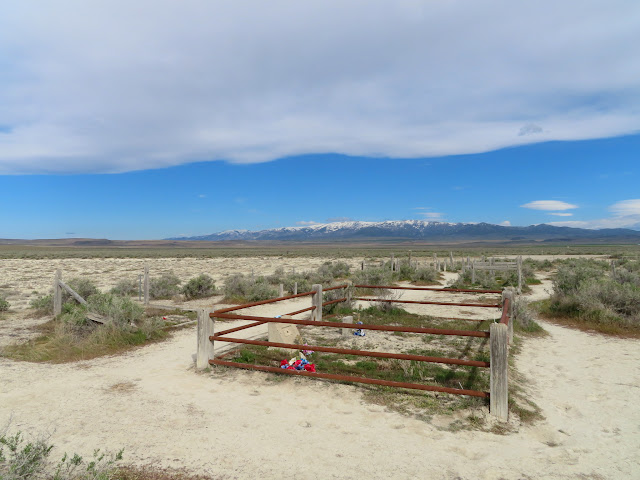
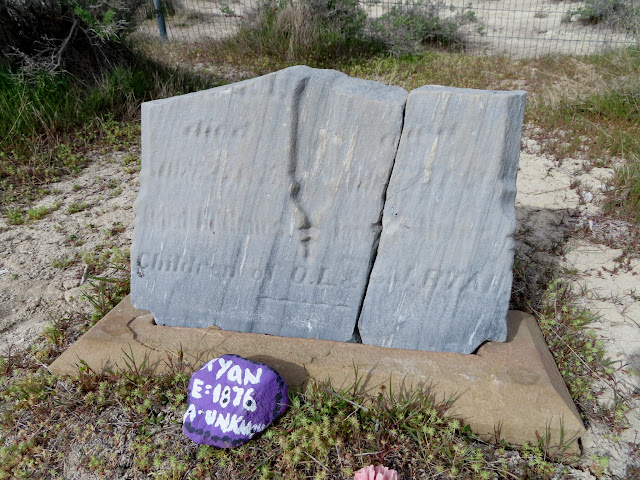
Weathered headstone at Kelton Cemetery
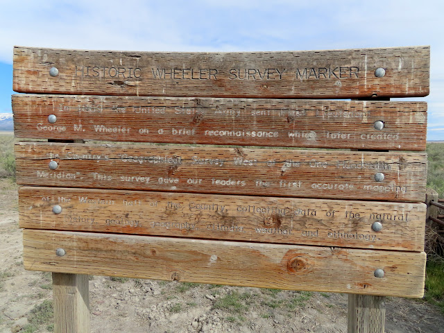
Sign at the Wheeler survey marker
1957 Wheeler survey marker

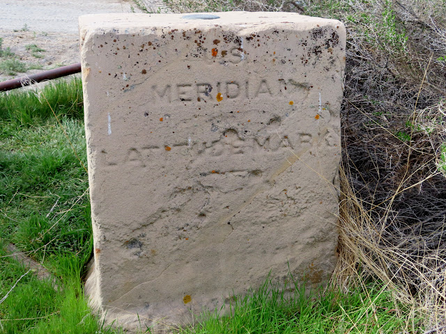
1887 Wheeler survey marker: U.S. Meridian Latitude Mark
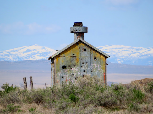
Building at Locomotive Springs
Chris on a boxcar
Sleeper car
Inside a cabin at Locomotive Springs
Navigation arrow
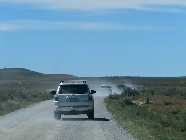
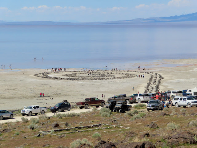
We went out of our way a bit during the last stretch back to SLC to see Spiral Jetty. Chris had been there a couple of times but I never had. He said he’d only seen a couple of people on his trips there, but this time there were hordes! Just getting there was a hassle as there was a slew of slow-moving vehicles on the road. At the jetty the parking area was full and vehicles were parked all along the road. We got out of his truck long enough to watch the madness for a few minutes but didn’t have any desire to walk out onto the jetty with all those people. We hit the road again and got back to his place where I loaded my gear into the Jeep, visited with his cats for a minute, then headed home.
Shitshow on the road to Spiral Jetty
Zoo at Spiral Jetty
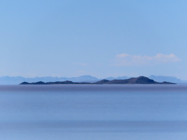
Newfoundland Mountains
Woman walking along a jetty near Spiral Jetty
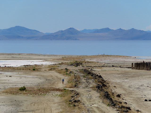
Photo Gallery: NWUT, Tri-State Corner