Category: Southeastern Utah

  • GCNRA Wandering: Andy Miller Flats

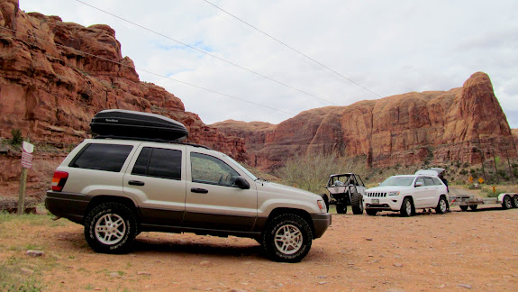
    On Sunday and Monday of President’s Day weekend I explored some canyons near Andy Miller Flats in Glen Canyon National Recreation Area. I awoke at 5:30AM on Sunday, hit the road by 6:00, and witnessed a brilliant sunrise while driving on Highway 24. I had to slow several times for cows crossing Highway 95. Good thing I’d spent a couple of hours the previous day replacing the front brake rotors on the Grand Cherokee. Between the Dirty Devil and Colorado River bridges, I turned onto the Flint Trail/NPS633, heading roughly east. The road had been graded since my last time there four months ago and I made great time on the dirt. It was only five miles as the raven flies, but three times that on the road, to where I planned to start the day’s hike.

    Colorful sunrise along UT-24
    Colorful sunrise along UT-24


    Cows crossing UT-95
    Cows crossing UT-95


    Hite Overlook
    Hite Overlook


    Flint Trail/NP633 near Rock Canyon
    Flint Trail/NP633 near Rock Canyon


    My intention was to explore some canyons in the area to try to discover rock art, and doing so among some fine scenery was a welcome bonus. After last October’s trip I got a feel for where the area’s rock art is situated, but I already knew beforehand the location of all the sites I saw during that trip. This time I simply wanted to wander and hoped to find something new. The day started out overcast, which led to me leaving my hat in the Jeep–and an eventual sunburn. I hiked only a short distance before the canyon began to deepen and I started inspecting all the cliffs and overhangs. A short while later I encountered a small overhanging cliff that had quite a few relics underneath. There were two large broken metates and several smaller fragments, broken pottery pieces, and a shload of lithic flakes. I continued hiking around the canyon rim and found a couple more such sites, but none as significant as that first. I was thoroughly enjoying the views down into the canyon and the snow-covered Henry Mountains towering over the desert.

    View near the beginning of the hike, Mt. Ellsworth in the distance
    View near the beginning of the hike, Mt. Ellsworth in the distance


    Overhang containing metate fragments, potsherds, and chert flakes
    Overhang containing metate fragments, potsherds, and chert flakes


    Broken metate
    Broken metate


    Pottery pieces
    Pottery pieces


    View across the canyon
    View across the canyon


    Another alcove with more relics
    Another alcove with more relics


    Twisted juniper and Little Rockies
    Twisted juniper and Little Rockies


    Mt. Hillers towering above the redrock west of Hite
    Mt. Hillers towering above the redrock west of Hite


    Yucca seed pods
    Yucca seed pods


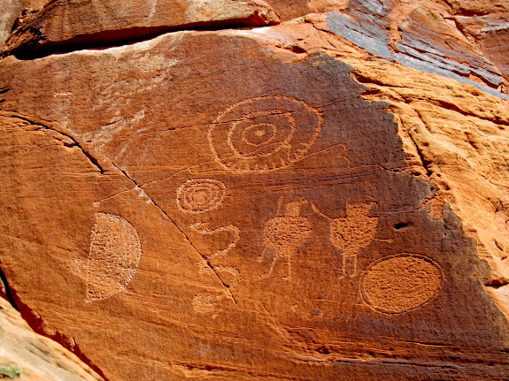
    As I neared the point where I had planned on turning around and heading back to the Jeep, I scanned the canyon below with binoculars. I’d marked a spot in the GPS that I noticed in Google Earth that seemed a likely spot for rock art, but I was still surprised when I actually could see some red pictographs there! I was about a third of a mile away and several hundred feet higher than the shallow alcove. There wasn’t a visible route leading to the canyon bottom from where I stood, so I began to zig-zag along and down the many ledges until, after one final steep scramble, I found myself standing in the watercourse. From there it was a short hike downcanyon to the alcove and the rock art. In addition to the rock art were some ruined structures, including a few slab-lined storage cists, and a tall stack of rocks that somebody had built to access a ledge above the alcove floor. There were also a couple of inscriptions.

    From here I spied some rock art in the overhang in the center of the photo
    From here I spied some rock art in the overhang in the center of the photo


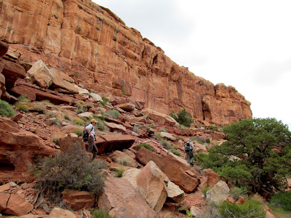
    Wending my way down ledges into the bottom of the canyon
    Wending my way down ledges into the bottom of the canyon


    Finally in the watercourse
    Finally in the watercourse


    Approaching the overhang
    Approaching the overhang


    Pictographs and a rock tower built to provide access to the ledge above
    Pictographs and a rock tower built to provide access to the ledge above


    Slab-lined storage cist
    Slab-lined storage cist


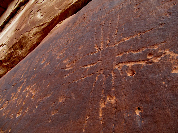
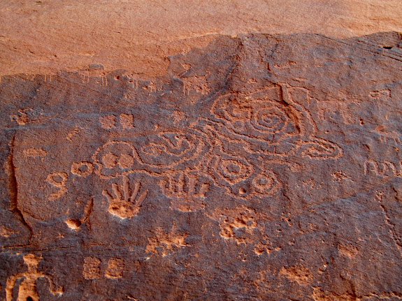
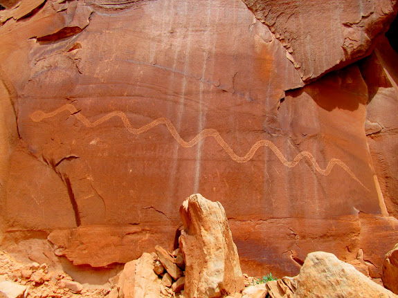
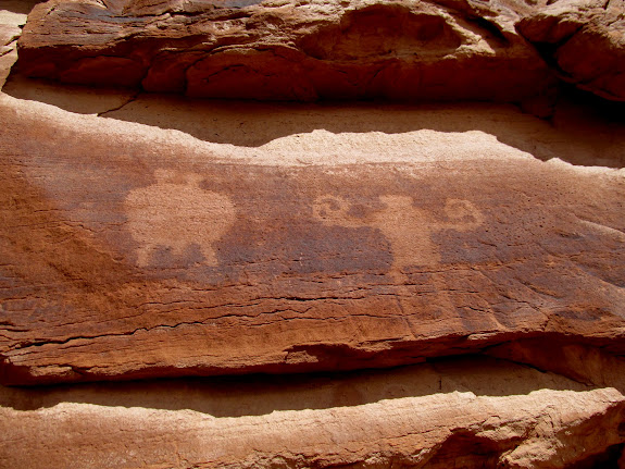
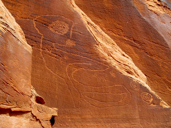
    Rock art using both painting and abrasion techniques
    Rock art using both painting and abrasion techniques


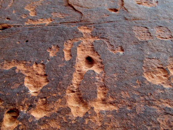
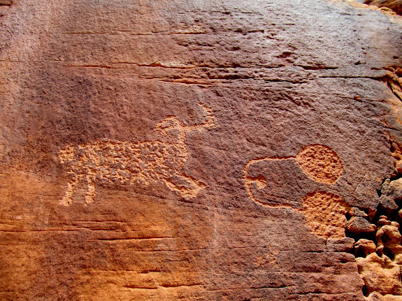
    Possible canine figure
    Possible canine figure


    Rock art and Elmer Jeffs writing from 1944
    Rock art and Elmer Jeffs writing from 1944


    Potsherds
    Potsherds


    Ledge above the floor of the overhang
    Ledge above the floor of the overhang


    Abundant water in potholes below the overhang
    Abundant water in potholes below the overhang


    It was getting later in the day and my legs were tired, so after viewing the rock art alcove I took a pretty direct route back to the Jeep where the thermometer read 69 degrees. And it felt it! The sky had cleared and the latter half of the day had been wonderfully warm and sunny. I’d hiked the last quarter-mile with my backpack slung over my shoulder to let the sweat on my back dry. The total hiking distance for the day was 6.7 miles. I drove down the road to one of the few nearby spots where I could get far enough off the road to camp, and there I found an unoccupied 60 series Land Cruiser. I didn’t know if the owner was just out hiking or if the vehicle was being left there for an extended time, so I picked a spot a couple hundred feet away and sat in my chair reading a magazine and waiting for dinner time. Eventually the Toyota’s owner showed up on foot and we struck up a conversation–he was from Grand Junction and had been out for a hike to the south. We inquired about each other’s intentions to camp there, and he clued me in that I was a little too close for his comfort. I didn’t mind moving on and looking for a new spot, which I found about a mile back down the road. I heated some dinner on the camp stove and settled in to read for the rest of the evening before turning in after 10:00.

    Lunch spot
    Lunch spot


    Steep slope used to access the canyon
    Steep slope used to access the canyon


    69 degrees
    69 degrees


    Buttes
    Buttes


    Sunset buttes
    Sunset buttes


    Resting comfortably and reading a magazine after dark
    Resting comfortably and reading a magazine after dark


    I was up before the sun, and I was delighted when the first rays hit the distant Henry Mountains and eventually slowly crept down the buttes directly west of me. It was exquisite. Watching the sunrise is one of my favorite things about camping. I had a super quick breakfast of coffee and a donut, replenished the consumables in my backpack, and drove down the road with a friendly wave at the Land Cruiser guy who was up and had a campfire going. The day’s hike was around the rim of another canyon, but it had a longer approach than my previous hike. Along the way I saw many chert flakes and even one partially-worked piece. Once again I found something interesting only a short time after beginning to explore the canyon. I was surprised to find a fairly large natural bridge and, off to one side, an alcove that contained the usual fragments of metates, pottery, and chert. I continued hiking but didn’t find anything nearly as interesting as the rock art I’d seen previously. There was one very faint petroglyph and an alcove with some chert flakes, but nothing that really did it for me. I reached a good turnaround point and again took a direct approach back to my vehicle. It was a long, 1.5-mile trudge though soft soil, while stepping over or around a lot of low brush. The day was clearer and cooler than the day before, and a light breeze kept me comfortable despite the exertion of walking in the sand. I kept my eyes on the ground to keep my mind off the distance between myself and the Jeep, and I watched many thousands of chert flakes scroll past. There must have been an army of people making arrowheads out there in the flats.

    Sunrise on Mt. Hillers
    Sunrise on Mt. Hillers


    Little Rockies between the buttes
    Little Rockies between the buttes


    Sunrise buttes
    Sunrise buttes


    My camp spot just off the road
    My camp spot just off the road


    Worked chert piece found near the start of day 2 hike
    Worked chert piece found near the start of day 2 hike


    Buttes and Henry Mountains
    Buttes and Henry Mountains


    Sandy descent into a side canyon
    Sandy descent into a side canyon


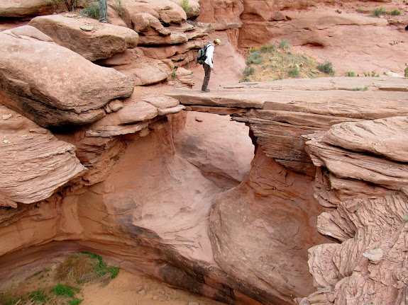
    Natural bridge
    Natural bridge


    Metate fragments, pottery, and chert in the alcove near the natural bridge
    Metate fragments, pottery, and chert in the alcove near the natural bridge


    Deepening canyon
    Deepening canyon


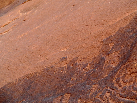
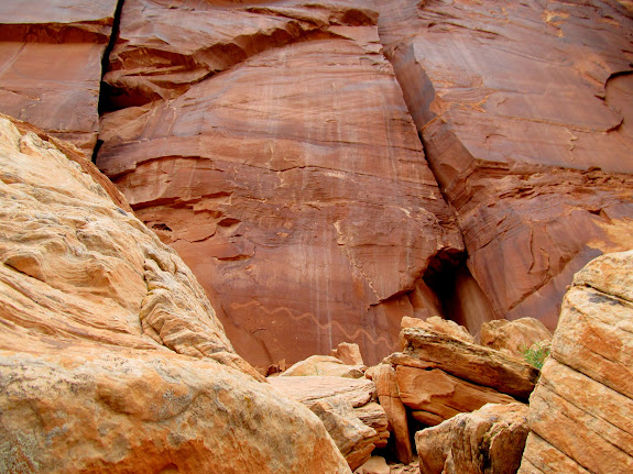
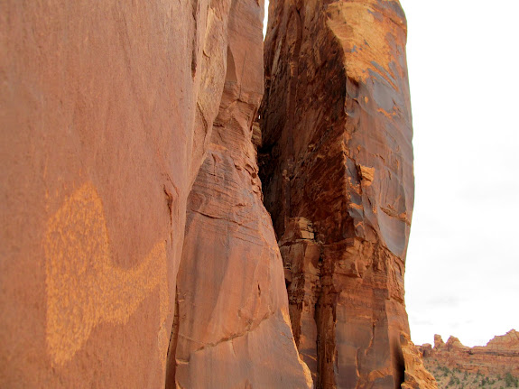
    Faint petroglyph
    Faint petroglyph


    Approaching another alcove
    Approaching another alcove


    Chert flakes in the alcove
    Chert flakes in the alcove


    Side canyon and Little Rockies
    Side canyon and Little Rockies


    Flat, soft terrain for the 1.5-mile walk back to the Jeep
    Flat, soft terrain for the 1.5-mile walk back to the Jeep


    Jeep barely in sight, with quite a distance still yet to go
    Jeep barely in sight, with quite a distance still yet to go


    I arrived at the Jeep after having hiked about six miles for the day. During the drive back to the pavement I stopped many times to look through binoculars at features near the rims of other canyons. There’s a great deal remaining out there to explore and I’m already considering where to go for my next trip.
    Photo Gallery: GCNRA Wandering: Andy Miller Flats