February 28-March 1, 2020
This trip happened all because a friend of an acquaintance asked me to help him find a rock art panel in the Needles District of Canyonlands National Park. I always enjoy that sort of challenge, and so after sleuthing on the internet and gleaning the location of the pictographs, I decided to visit the panel myself. I’d never been to the Needles District and figured Salt Creek would be a good introduction to the area. I invited Chris and he met me at my house on Friday afternoon, and by that evening we’d found a camp spot just off UT-211 near Hart’s Draw. We had a camp fire and ate dinner while listening to one of our favorite bands, the Fruit Bats, when I decided to use my phone to look at their concert schedule. They were playing in Salt Lake City in August so I bought tickets on the spot, but the concert eventually got canceled due to COVID. 🙁 But, they’ll be back in Utah this September! 🙂 It was quite cold during the night and there were even a few spots of lingering snow on the ground, but we still slept on cots under the stars. We were awake early the next morning, made a quick stop at Newspaper Rock, and then entered the park and got to hikin’ up Salt Creek.
Early morning at camp near Hart’s Draw

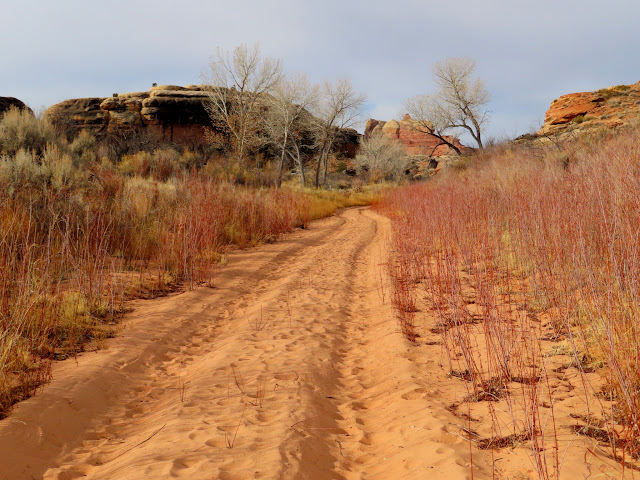
Two-track leading back to UT-211

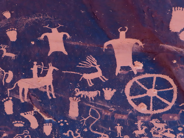
Newspaper Rock petroglyphs

Newspaper Rock petroglyphs
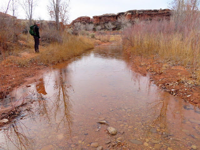
The hike started out with perfect conditions–hiking along a closed road in deep sand. Ugh. We strayed from the road a few times to inspect cliffs or ledges that looked interesting, but didn’t find anything of interest. Other portions of the road were actually pleasant to walk on, with damp, almost frozen sand, and some pools of water that were easily avoidable.
Entering Salt Creek

Sand slog down the closed road
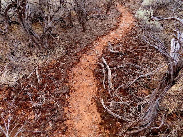
Trail through the crypto
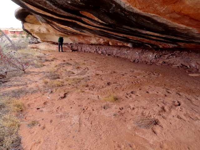
Examining an overhang
Water with a thin layer of ice on the road
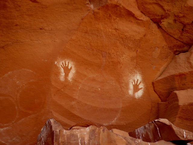
After a few miles of walking we came across our first rock art. There were white Fremont pictographs superimposed on some older Barrier Canyon Style pictos in red. Nearby were some reverse handprints in white and several large but faint circles.
White shield figures

Large BCS picto behind more recent white pictos
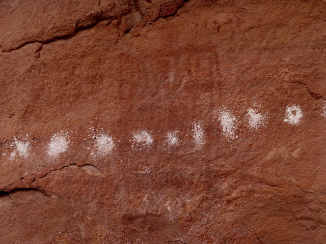
Interesting red/reverse handprint pictograph

Arch at Peekaboo Spring

Stylized handprint pictographs

High pictographs near Peekaboo Spring
High pictographs near Peekaboo Spring

We hiked some more, including a couple of explorations off the main canyon, and arrived at our goal, the Flying Carpet Panel. With some more exploring outside Salt Creek proper we found a couple of other panels that I wasn’t expecting–just icing on the cake of an already good day.
Unusual (probably BCS) pictograph
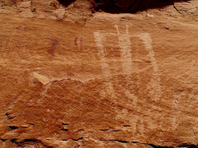
Exploring past Peekaboo Spring
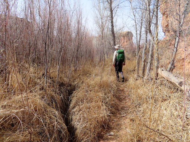
Sarlacc mouth
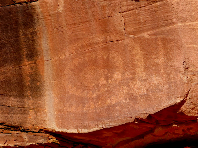
Flying Carpet panel in harsh sunlight

More pictographs near Flying Carpet

Three small figures near Flying Carpet

Stacked rocks in a large crack

More pictographs

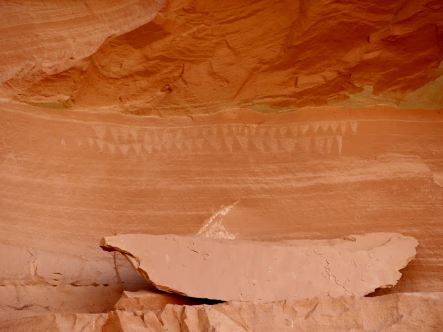
White diamond pattern
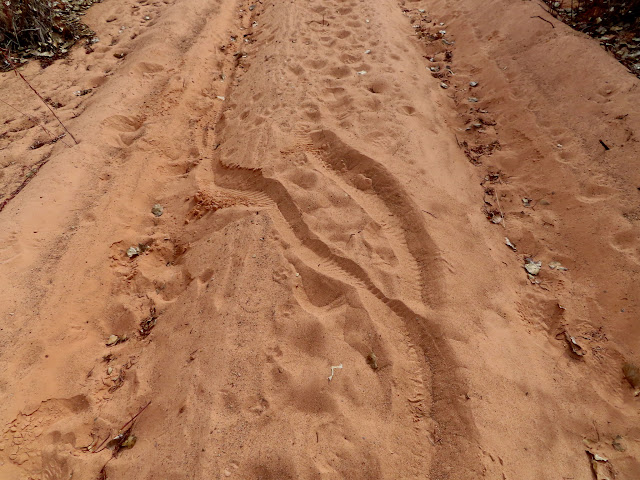
The return hike wasn’t bad at first, at least not until Chris and I reached the dry sand slog. It wouldn’t be a true wilderness experience if we didn’t find a mylar balloon, which we did! We spotted some bicycle tracks in the sand that hadn’t been there in the morning, and it looked like (presumably) he had a difficult time riding in the sand. Back at the trailhead there was a Tundra with a bike rack on the back, and Colorado license plates. I’m not sure bikes are legal on that road but, oh well, good for him I guess. It looked like he went up Horse Canyon, so he probably saw some pretty cool stuff there.
I don’t know what this plant is, but I thought it looked cool

Happy birthday!

Salt Creek and Horse Canyon junction sign

Fatbike tracks on the road

Sandy slog back to the trailhead
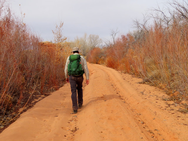
The fatbike dude struggled a lot
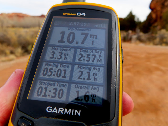
We clocked 10.7 miles for the day and still had enough energy to hike most of the Cave Spring loop. And even after leaving Canyonlands, we visited some rock art and ruins near Indian Creek that about took it all outta me, but was well worth the effort.
10.7 miles on the trip odometer
Cave Spring cowboy camp

Cave Spring reverse handprint pictographs

Cave Spring pictograph

Cave Spring handprint pictographs

Ladder on the Cave Spring trail

Petroglyph near Indian Creek

Petroglyph near Indian Creek

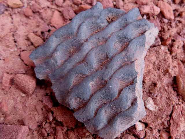
Pretty potsherd

Badly weathered rock art

Two-story ruin

Ruins from below

Potsherd with fingerprints
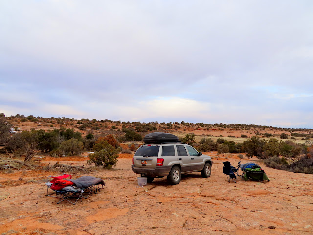
We found a place to camp not far from where we’d slept the previous evening. On Sunday morning we visited the Birdcage Panel, which a friend had told me about. We also explored a couple of other alcoves in the area and found some signs of habitation but no more rock art.
At camp on Saturday evening

Sunday morning at camp
La Sal Mountains

Large alcove with pictographs

Birdcage panel

Many turkey track petroglyphs

Great BCS pictos

Thin man
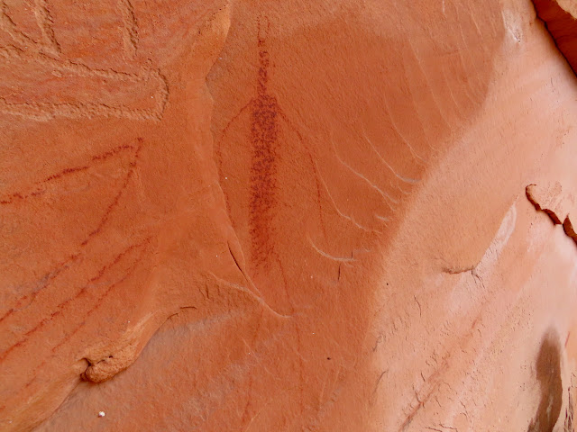
Red and white pictograph

Faded red and purple picto
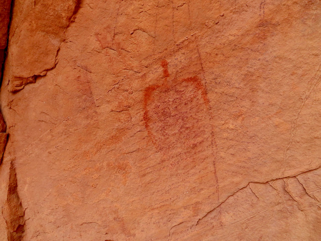
Exploring another nearby alcove

Broken metate
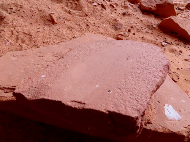
Grooves in the sandstone
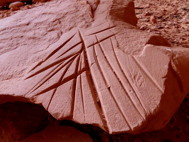
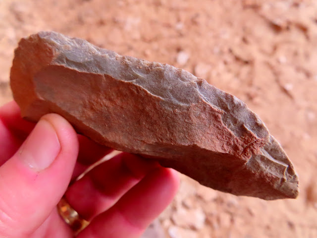
Large worked tool
We still had plenty of time to get home so we took a detour to Hatch Point to see the view from the Needles Overlook. From there we could see some of the country we’d hiked a day earlier. We also stopped at Eightmile Rock which, despite being on BLM land, appears to have been inhabited by some livestock herders. I wasn’t really expecting to see much there, but there were “houses” built into the sandstone, saddles and gear ready for a ride, and even a cat inside one of the residences. It slowly dawned on us (idiots) that we were encroaching on somebody’s home (however legal it may be) and felt uncomfortable enough to get outta there.
There’s a camera somewhere behind this sign

The Henry Mountains almost 70 miles distant
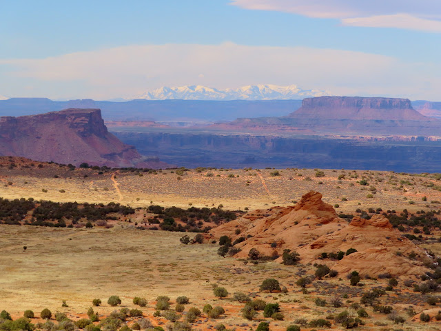
South and North Six-shooter Peaks viewed from the Needles Overlook

Spire below the Needles Overlook

View past Junction Butte to Cleopatra’s Chair far in the distance

Cave houses at Eightmile Rock

Saddles and gear

Cat in one of the cave houses

With still yet more time before we needed to be home, we made one final stop near Crescent Junction to search for an 1837 inscription. I read about it in a book and had looked for it two other times, but we came up empty this time as well.
Mouth of Crescent Canyon

Photo Gallery: Salt Creek and the Birdcage Panel