
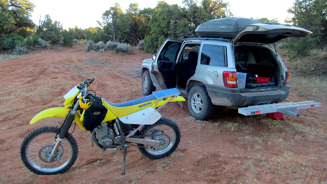
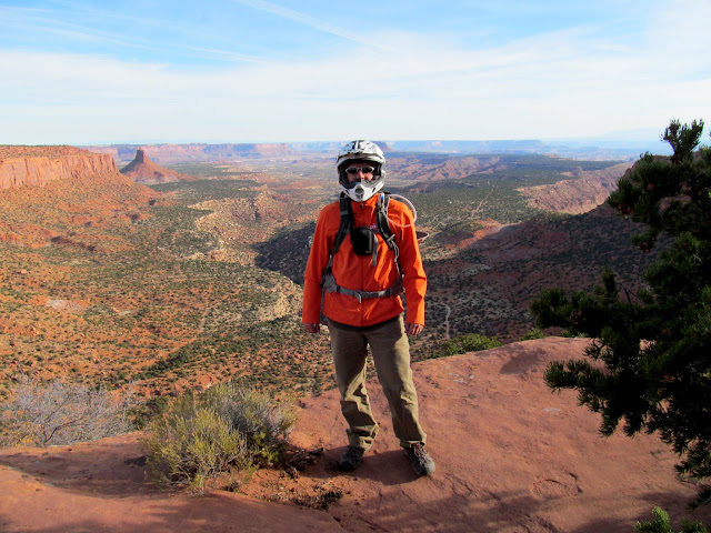
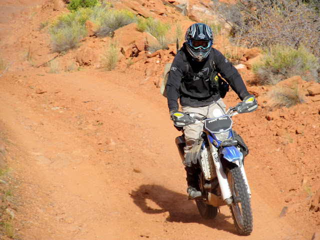
For our annual autumn moto-hiking trip, I got together with some friends and we spent a weekend in the Orange Cliffs Unit and Maze District of Canyonlands. We camped Friday night just outside GCNRA and on Saturday, for our first foray into Canyonlands, we rode to the Maze Overlook and then hiked to the Harvest Scene pictograph panel. I’d hiked to the Harvest Scene four years ago using a different route and I was looking forward to seeing another part of the Maze on this trip. Since I’d previously driven the Flint Trail in a full-sized truck I assumed it would be a breeze on a motorcycle. It turned out to be a little trickier than I was expecting but we all made it down the steep switchbacks without issues.
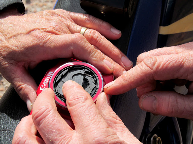
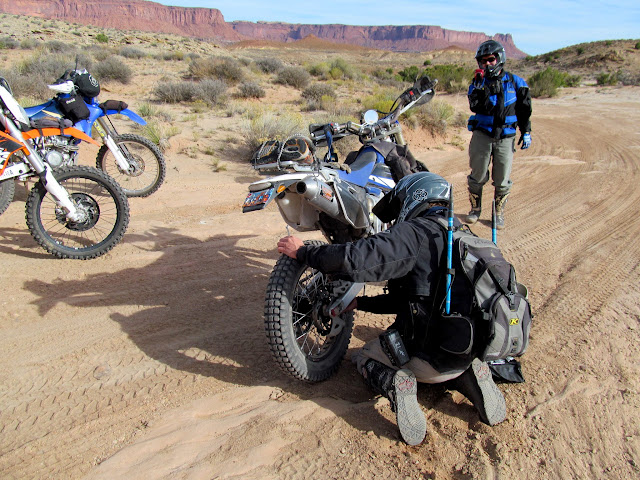
Alan’s camera had come apart so we stopped at the turnoff to the Maze Overlook while he and Wade repaired it. From there it was a pretty easy and quick-paced ride, with one additional stop while Wade fixed the brake rotor guard on his bike.
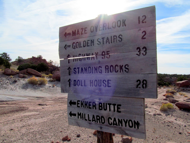
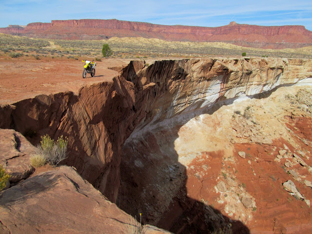
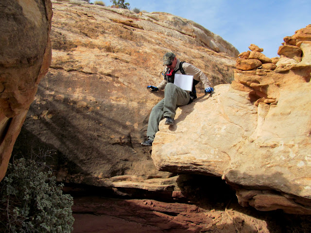
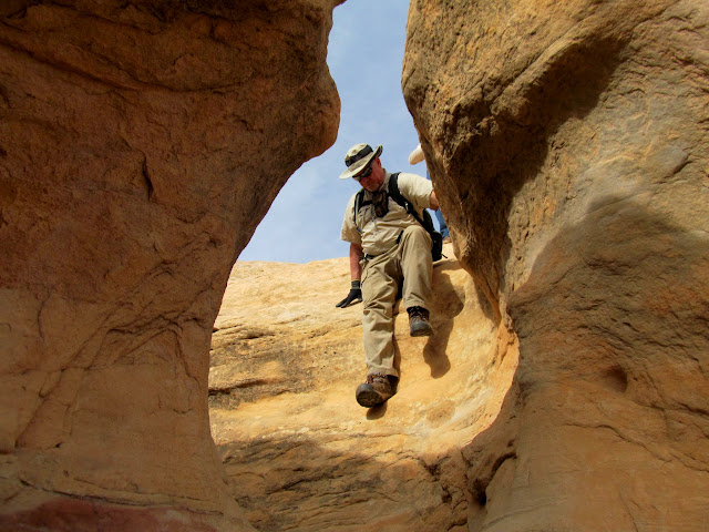
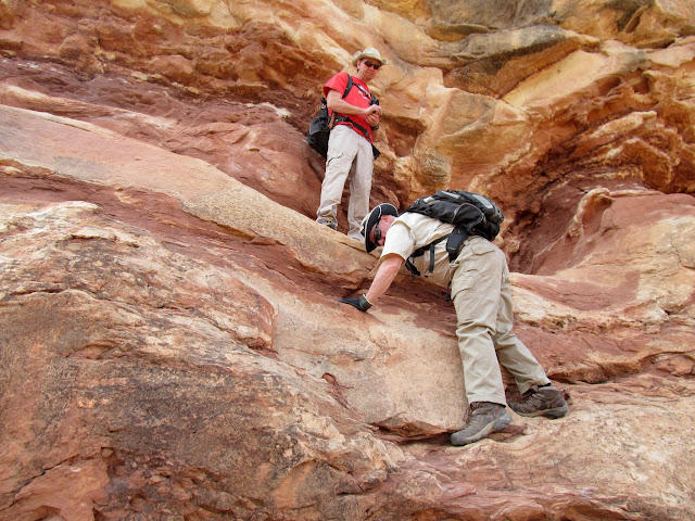
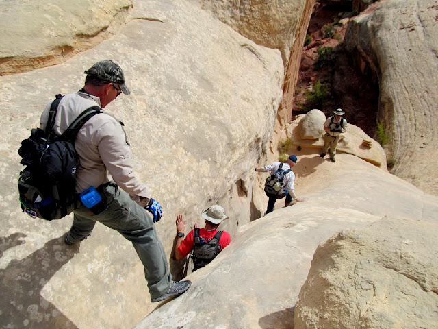
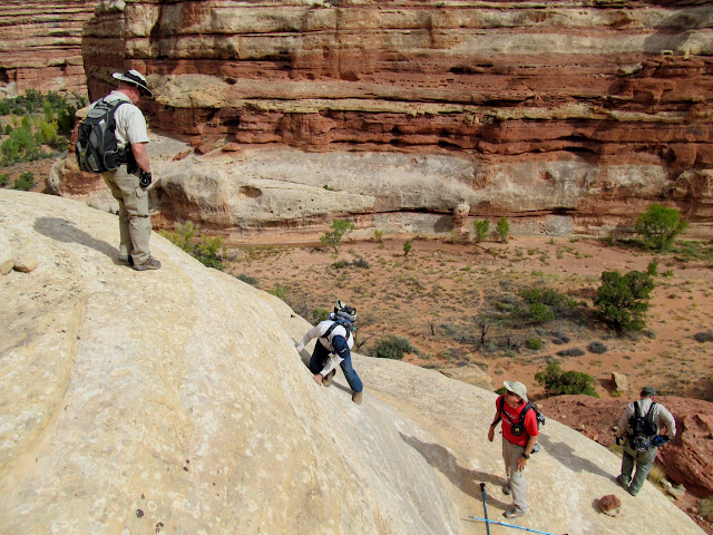
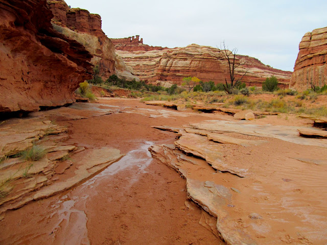
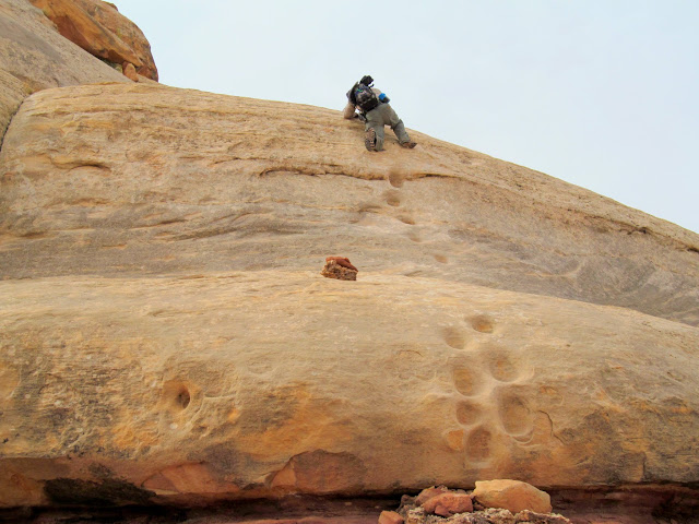
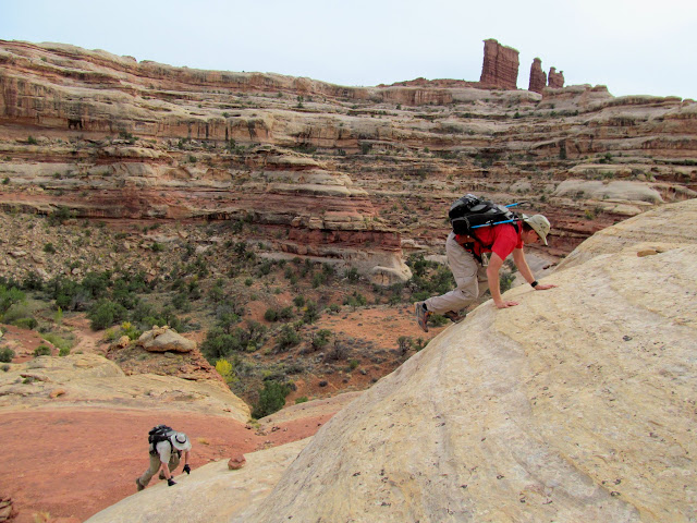
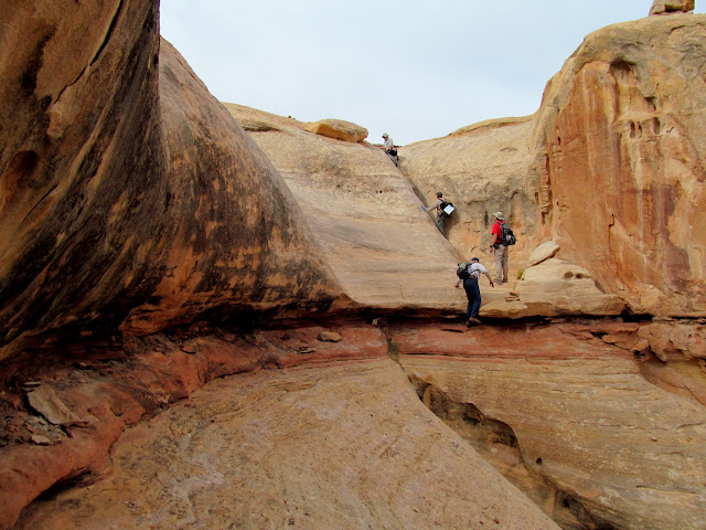
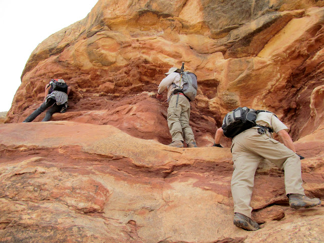
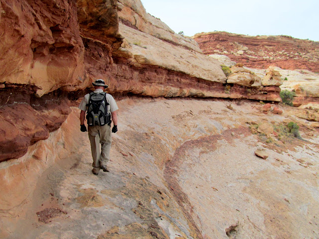
At the Maze Overlook we switched from riding to hiking mode. None of us had done this hike before and I hadn’t done much research on the route. It was quite a bit more difficult than I imagined–a lot of scrambling and climbing was required to get from the Maze Overlook into the South Fork of Horse Canyon. We helped each other a lot, especially with gaining the correct footing while climbing backward down the ledges and moqui steps.
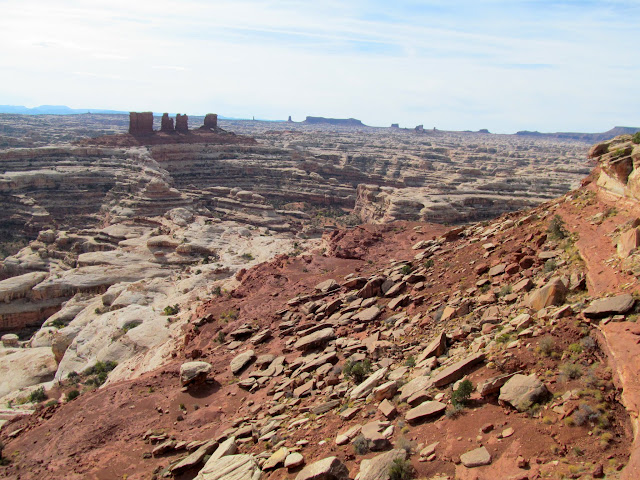
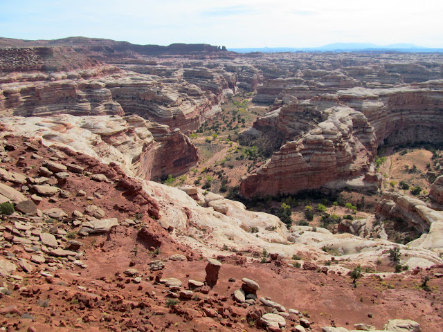
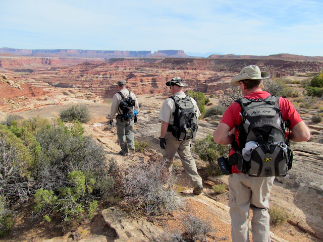
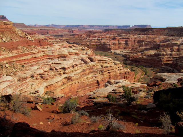
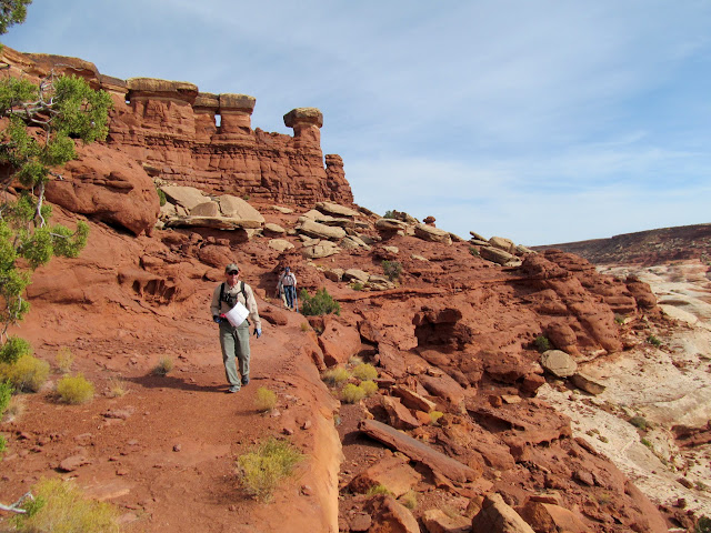
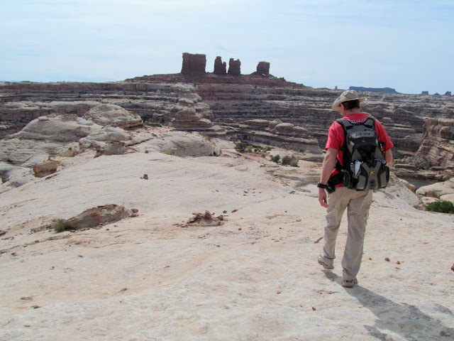
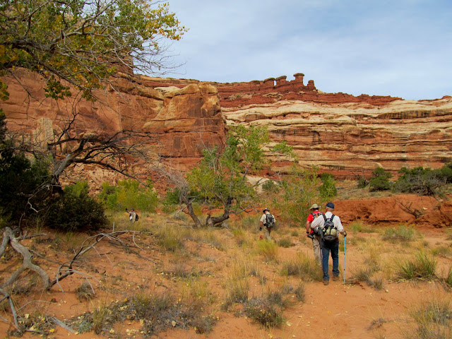
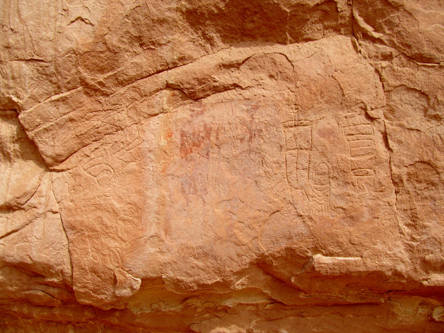
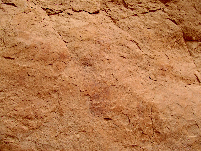
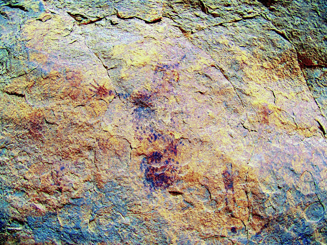
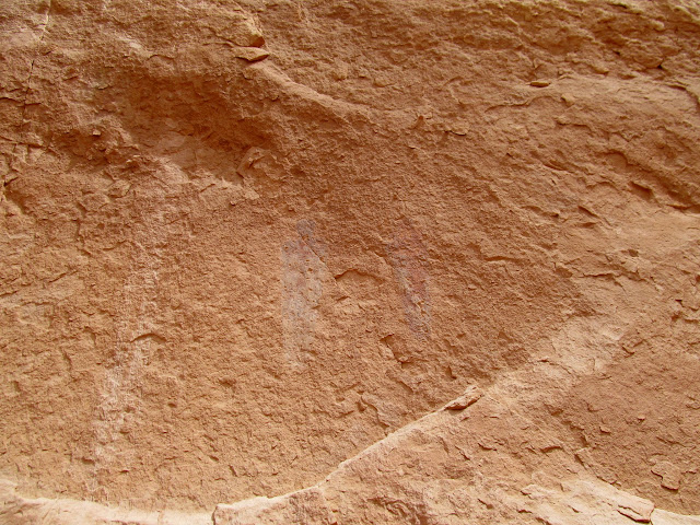
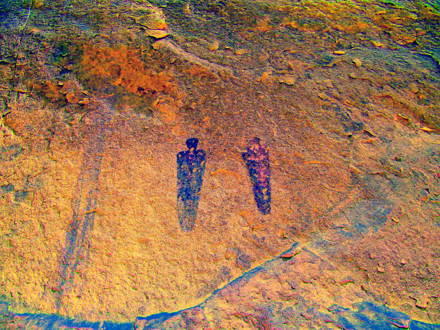
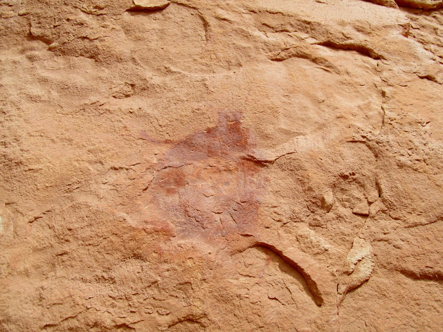
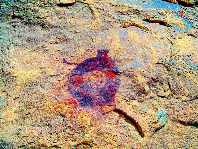
Once in the bottom of the canyon it was a fairly easy walk, though there were some patches of dry sand to slog through. I was keeping an eye out for another rock art panel that I’d heard of somewhere near the Harvest Scene. I spotted it near a spring, at the top of a talus slope, though it was very faint from below. To my surprise the panel covered perhaps a couple hundred feet of the cliff. Up close many of the pictographs were indiscernible, having been weathered or covered in mud or minerals over hundreds of years. The petroglyphs also lacked any contrast against the surface of the rock. It must have once been a great panel but now it takes some imagination to envision what it looked like when fresh.
We continued on soon found ourselves at the Harvest Scene. This is easily in my top five favorite rock art panels. Since I had been there once before I spent more time during this visit just admiring the pictographs rather than trying to photograph every single one (though I still took a lot of photos!).
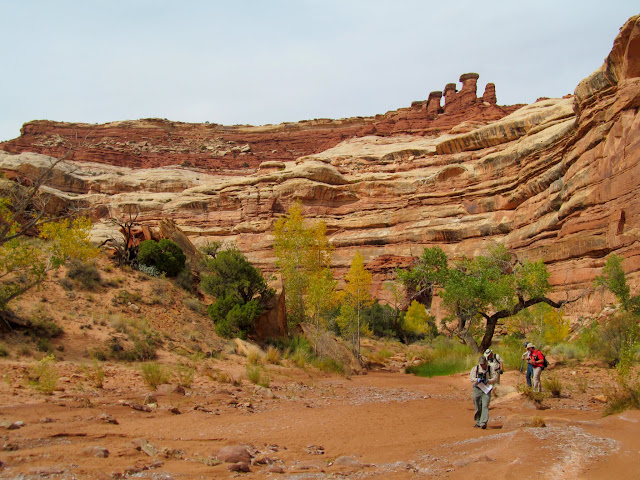
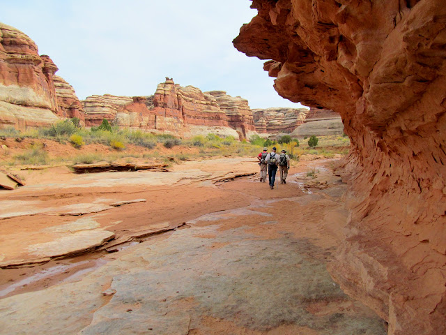
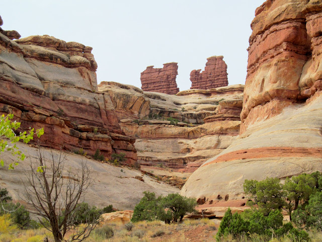
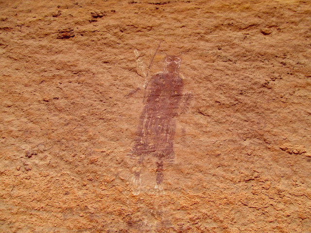
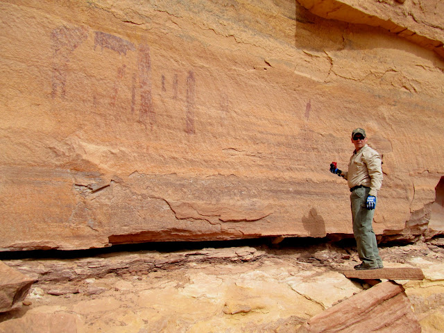
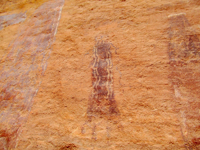
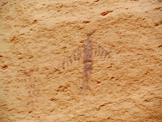
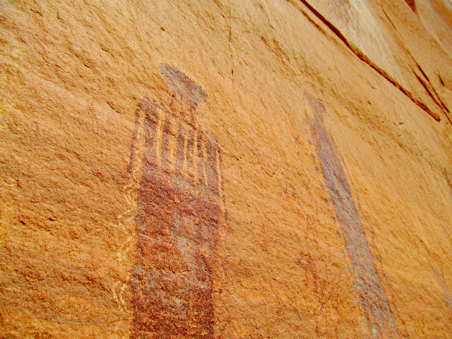
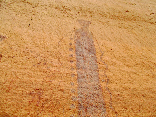
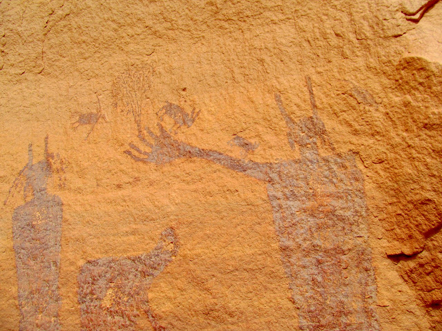
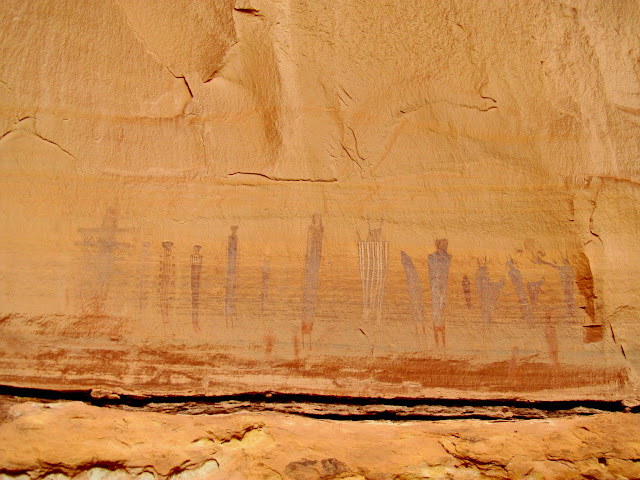
After eating lunch below the rock art, we reversed the route and headed back toward the Maze Overlook. Climbing back up seemed easier to me, though some spots still required teamwork. We caught up to a couple going the same direction as our group and we assisted them a little as well.
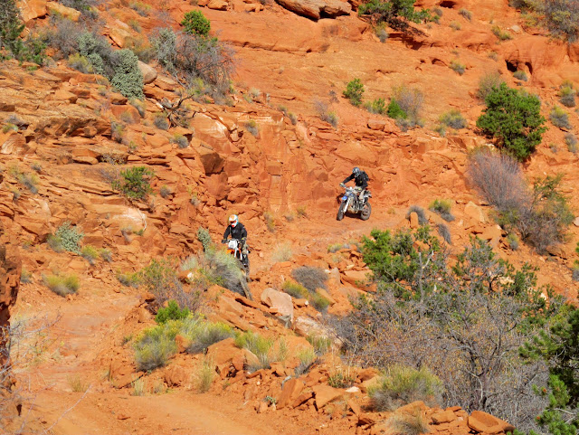
I was a little nervous about riding back up the Flint Trail. Lyman and I have the least experience in the group, so Wade followed behind us and offered to ride our motorcycles up any spots that sketched us out. We all made it up without any problems–mostly. At one point while trying to keep my balance during a slow and steep climb, my front tire started to climb the berm on the outside edge of the road. I stopped just short of the front tire reaching the top edge of the berm. Lyman cruised past me and must have been wondering whether I was trying to take a shortcut back to the bottom! 😀 I got my bike back on the road and made it up the switchbacks without incident. Our total riding distance was just over 60 miles, and though the hike was about six miles it felt longer. It was a nice warm-up for the next day’s hike, which would be to another one of my top five rock art panels.
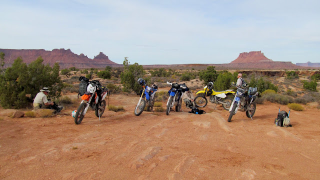

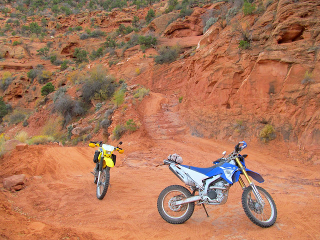
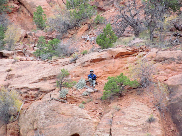
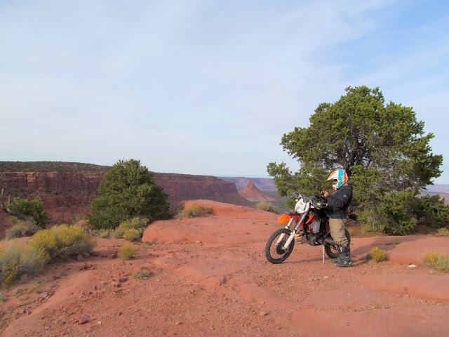
Photo Gallery: Maze Overlook to Harvest Scene