
March 16, 2019
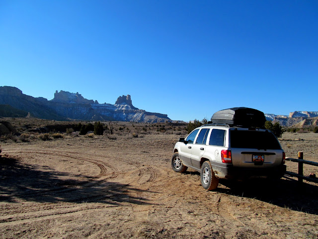
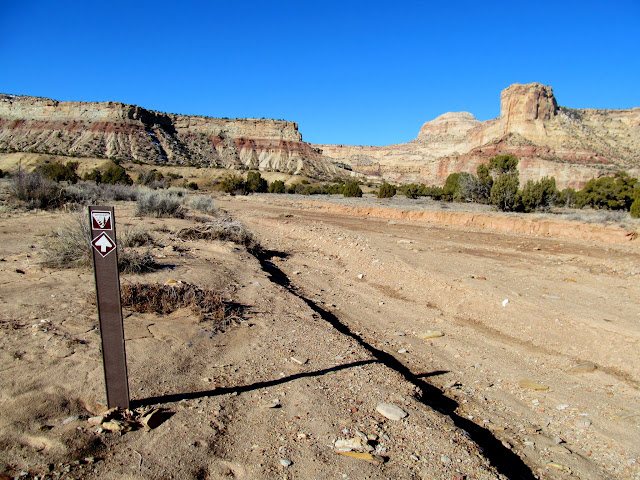
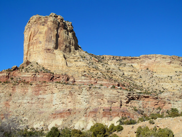
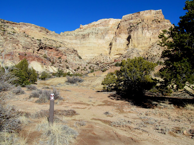
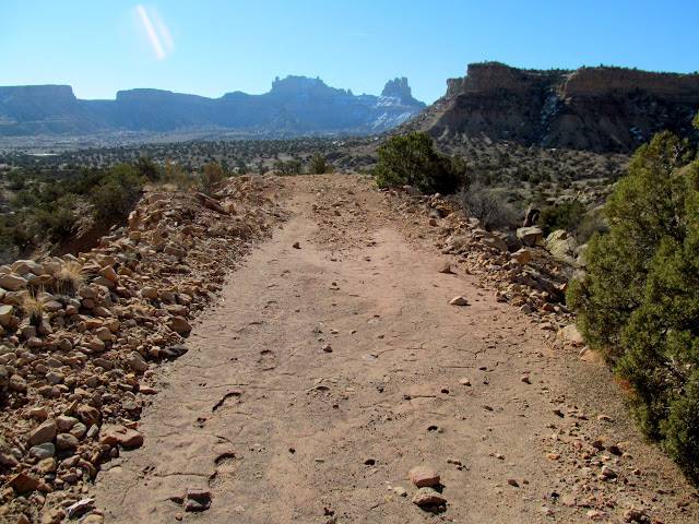
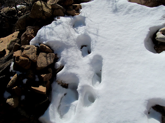
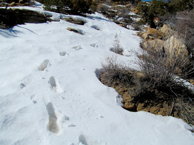
I’ve long wanted to return to Sid’s Mountain after my first hike there 12 years ago. At the time it was the longest and toughest hike I’d ever done, and it certainly helped cement my love for remote places in the desert. This year I made the hike four days after the Emery County Public Land Management Act was signed into law, and I was likely the first person to hike on Sid’s Mountain after it officially became wilderness. My first hike there was from the north, but I’d always wondered what was lurking on the southern end of the large plateau, which is bordered by North Salt Wash on the north side, Saddle Horse Canyon on the west, and Virgin Spring Canyon on the east. I decided to hike up the trail from Cane Wash, which long ago I had heard referred to as the Boy Scout trail but can’t find any reference to that now. It was probably some kid’s Eagle Scout project to improve the trail, and it’s still in decent shape. The first part of the hike took me across relatively flat roads and up a wash, and then up an old dozer track left over from uranium exploration. The constructed trail began where the uranium road ended, and due to the lack of tracks on the trail I assumed I was the first person on it this year. However, higher up the trail I saw tracks in the snow indicating that somebody had post-holed their way up the trail while it was still completely covered in snow (awesome job, whoever you are!).
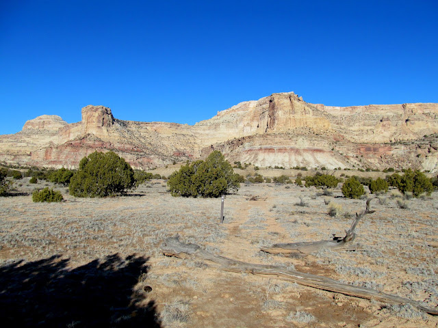
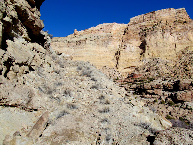
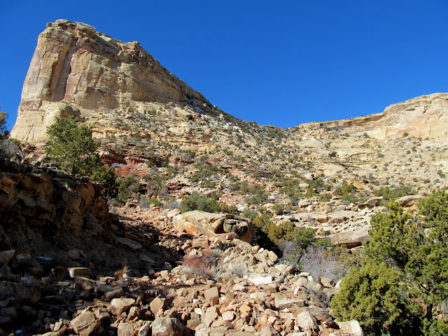

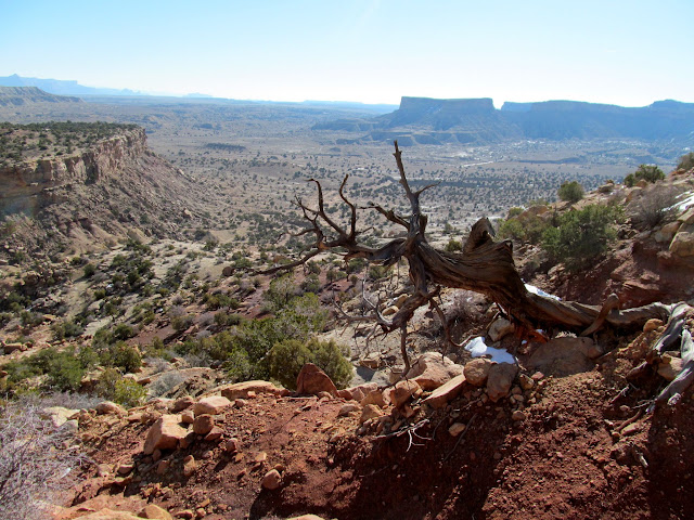
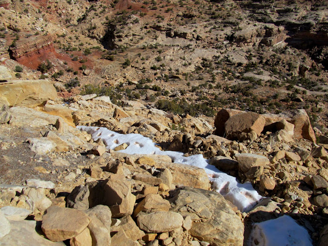
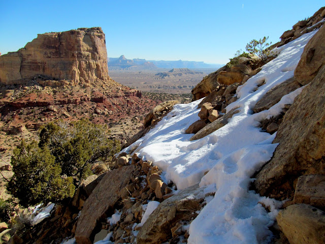

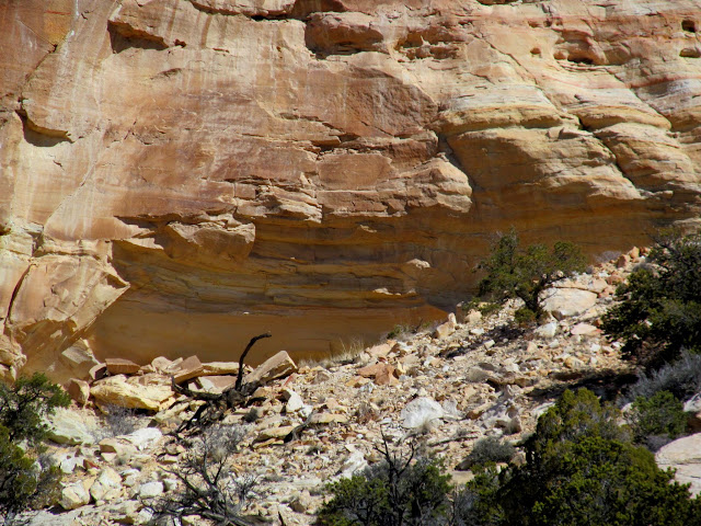
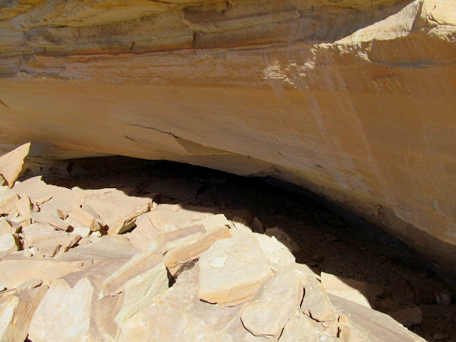
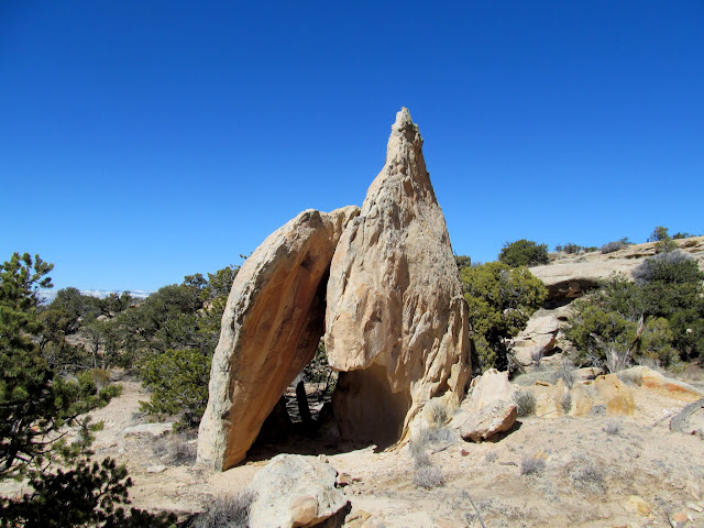
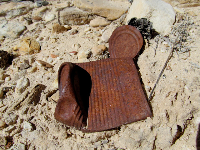
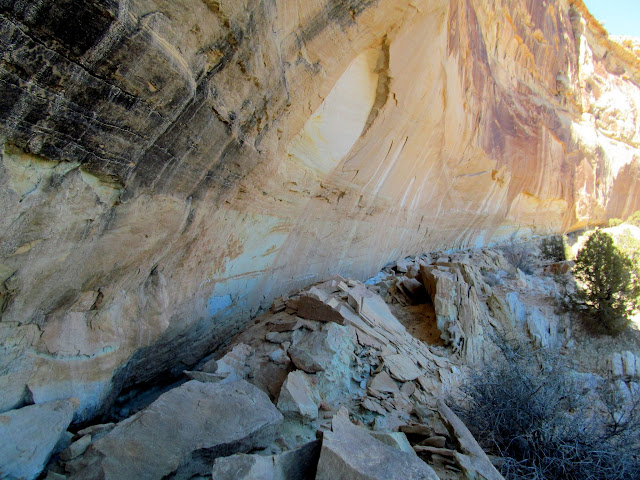
One hour and 20 minutes after leaving the trailhead I was on top of the Sid’s Mountain plateau. Once on top I began to check out areas that I’d identified in Google Earth as being likely to hold the goods. Almost immediately I noticed a possible alcove at the top of a steep rocky slope, and I didn’t really want to climb up there, but I forced myself to do it–it’s not like I get this opportunity every day. I reached the alcove and even crawled around inside but didn’t see anything of interest inside. After descending the steep slope I came across two large slabs of sandstone leaning against each other with some evidence of a cowboy camp inside consisting of charcoal and a few rusted cans.
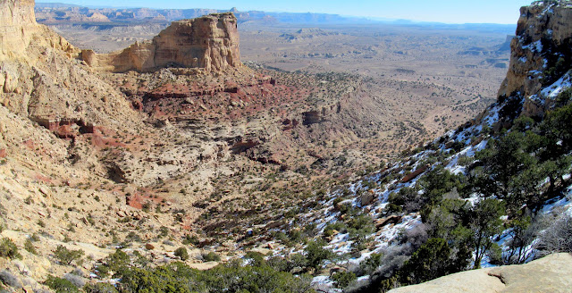
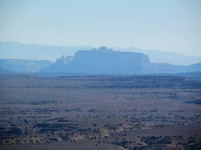
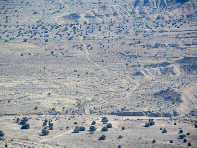
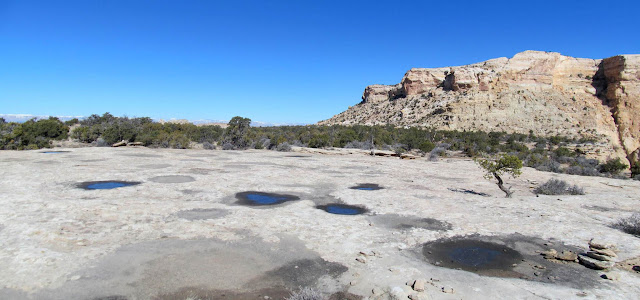
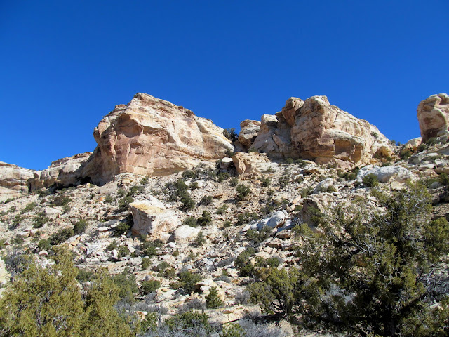

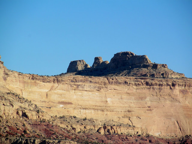
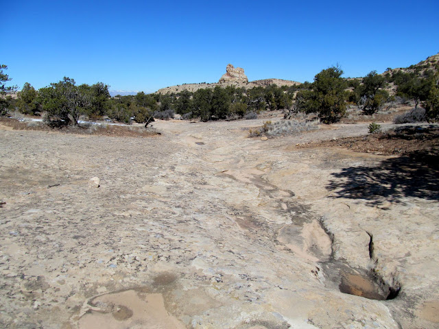
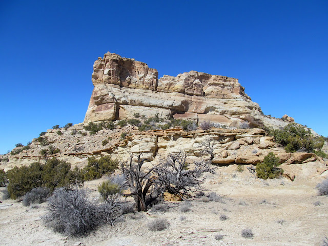
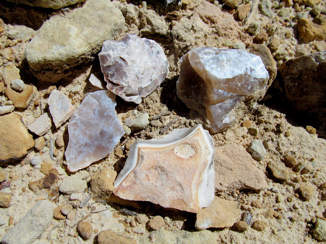
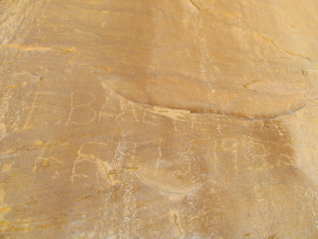
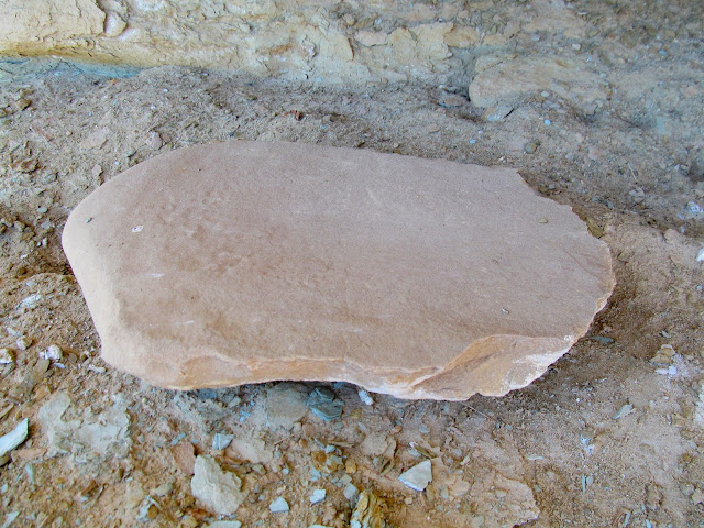
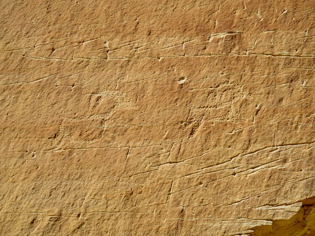
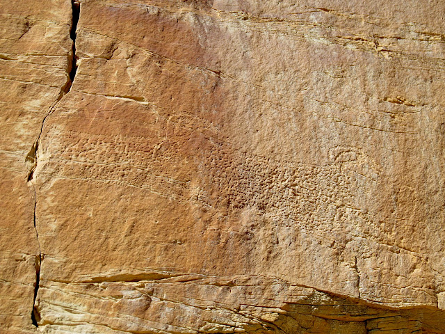
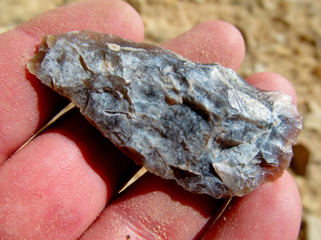
I passed below a small butte that I hadn’t planned on climbing up to, though I did glass the cliffs with my binoculars without seeing anything worth making the climb. I next approached a much larger butte surrounded by cliffs and found plenty of interesting things, which made me regret not inspecting the smaller butte more closely. All alongside the larger butte I discovered a lot of lithic flakes and a few nice worked pieces of chert and a metate. There were inscriptions by Clyde Beach and F. Beach dating to the 1930s, which seem significant because, according to Allen’s Canyon Country Place Names, Loren (or perhaps Lorin) Beach owned the Kofford Cabin and surrounding land on Sid’s Mountain from 1948 to 1968. I walked right below some bighorn sheep petroglyphs about 20 feet up a cliff without noticing them the first time. I had even looked right at them but dismissed the larger petroglyphs as natural weathering. As I walked past them again to return to my planned route I finally recognized them as rock art.


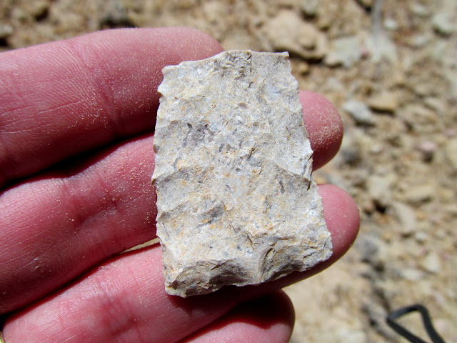

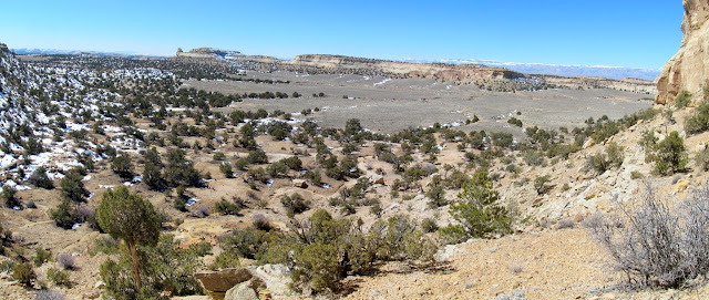
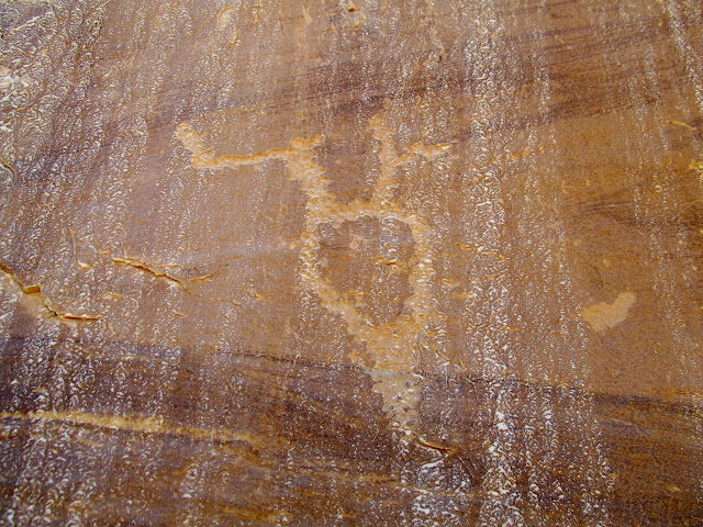
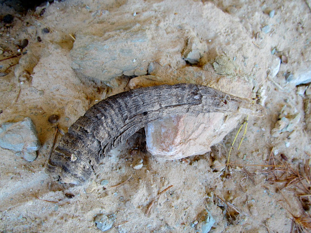
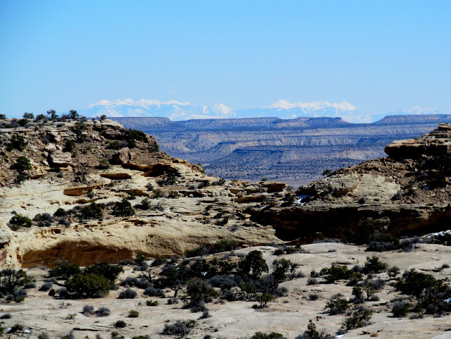
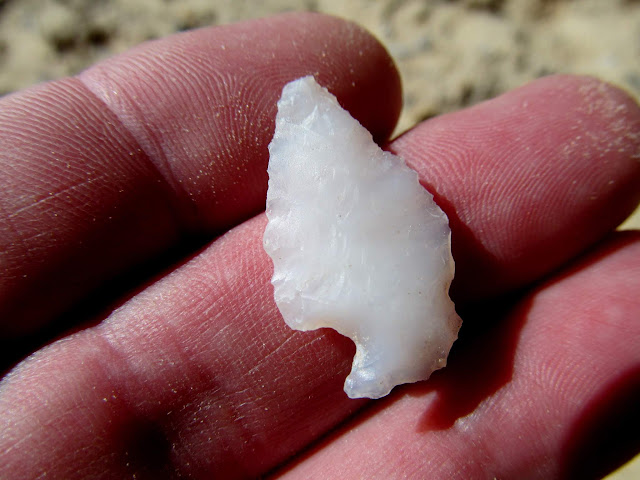
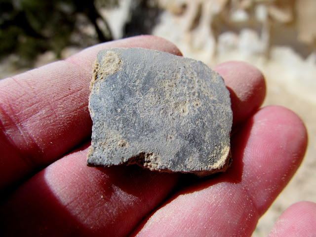
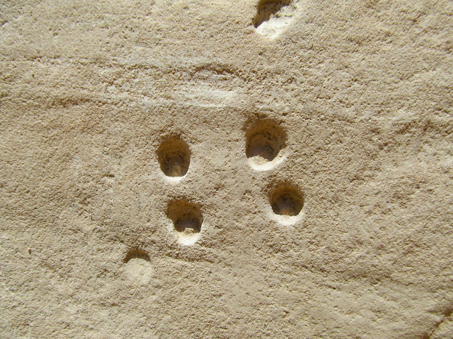
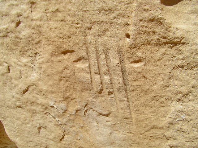
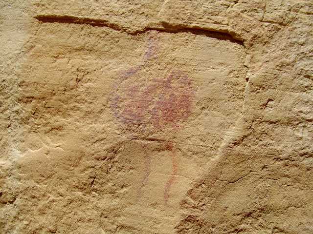
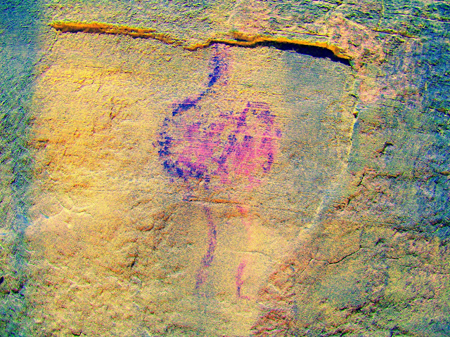
Continuing along the same cliff line I found a single unusual petroglyph and a sheath from a bighorn sheep horn. There were some nice views into the head of Virgin Spring Canyon and even an obvious route down into the canyon. If only I’d had the time and energy to check it out! I rounded the northern end of the butte and descended a steep and snowy slope toward the big flat at the southern end of Sid’s Mountain. I followed the base of a south-facing line of cliffs and saw a couple of arrowheads, a single small potsherd, a metate, some drilled holes and grooves in the sandstone, and a single pictograph with perhaps some other weathered and faded pictos nearby. Running the pictograph photo through DStretch revealed a curious squiggly line of a different pigment color running through the figure.


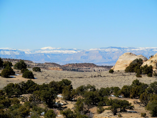

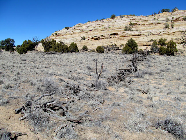

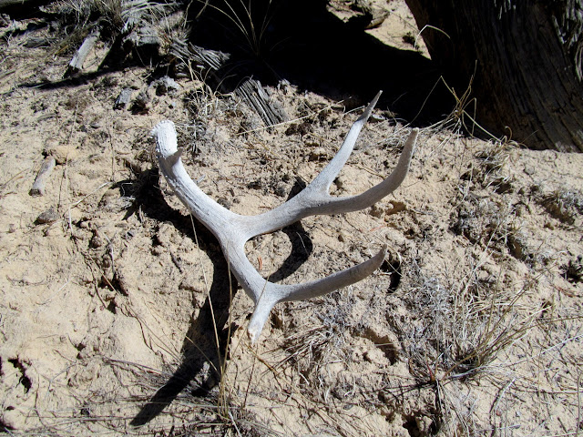
On the west side of the big flat I found a small overhang with a few pieces of a broken metate of red sandstone, but not much else. At that point I was tired and it was getting later in the day, so I picked up a cattle trail through the flat and followed it back to the top of the trail leading back to the Jeep. I kept a close eye on the cliffs to the west with my binoculars but didn’t see anything worth checking out. Near the top of the trail I wandered over to look at what appeared to be some trash that I’d spotted earlier in the morning, which turned out to be a one-gallon bleach bottle, a hallmark sign of Boy Scouts. I packed it out along with a deer antler that I’d found earlier. It took me 50 minutes to descend the trail and reach the Jeep. It had been the first big hike I’d done in months, coming in at just over 10 miles and taking about 8.5 hours. It felt great to scratch that itch after so many years of wondering what was up there!
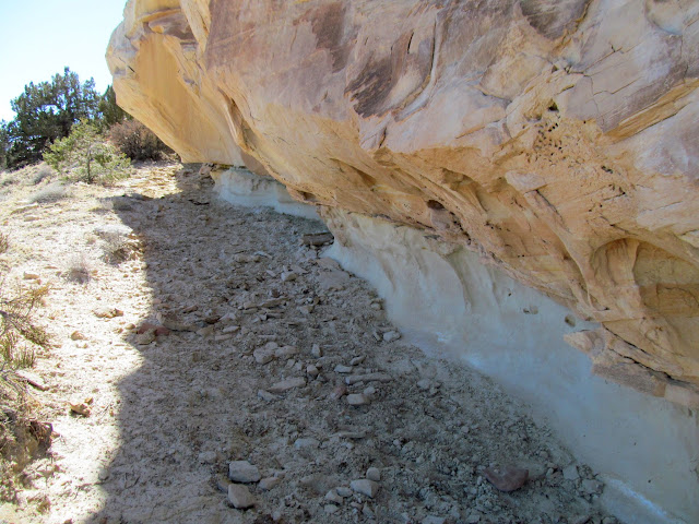
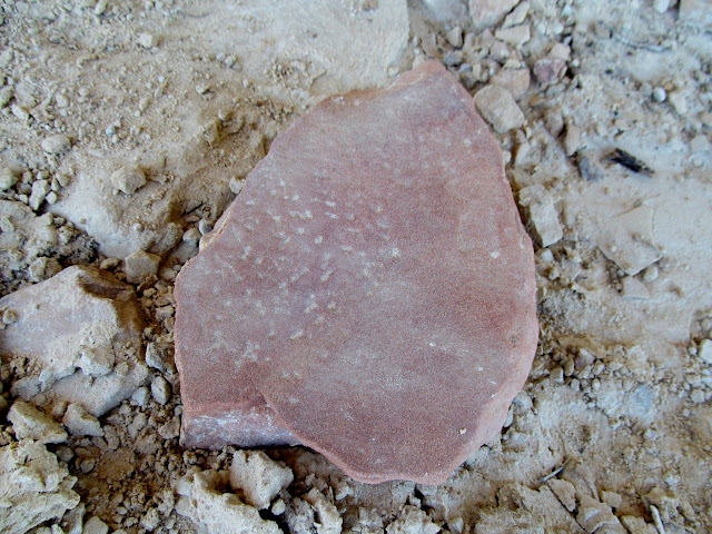

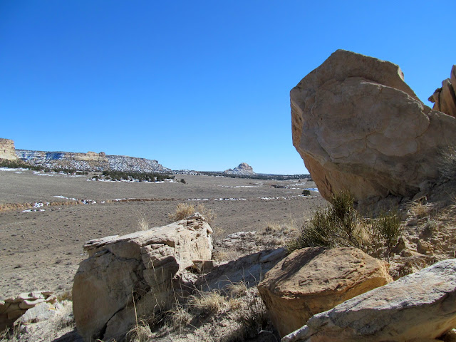
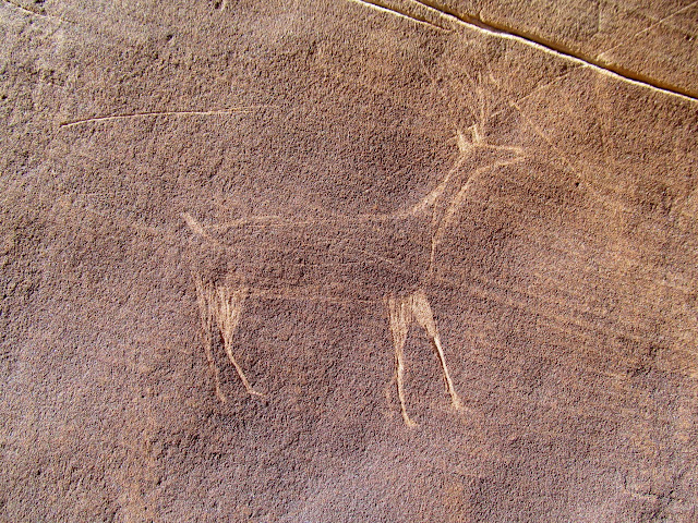
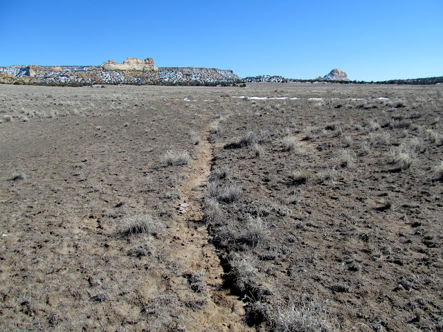
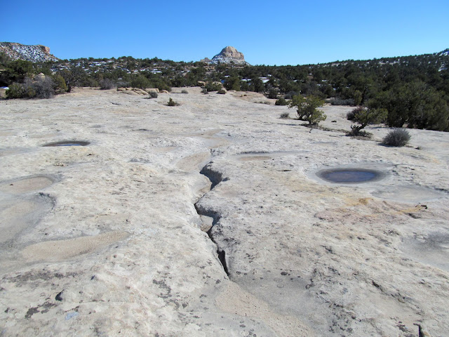
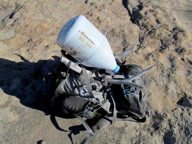
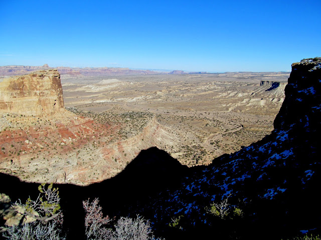
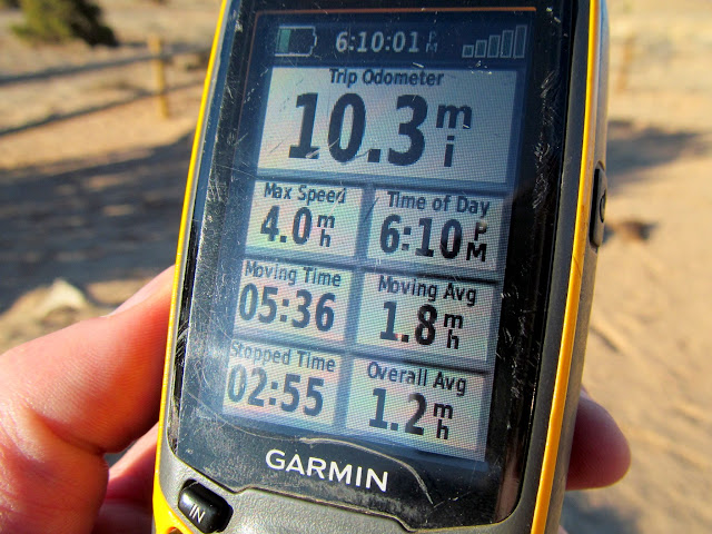
Photo Gallery: Sid’s Mountain from the South