
July 18-21, 2019–Part 4 of 4 of a nine-day camping trip through south-central Utah. We covered about 600 miles, camped in four different places, and were joined by friends at various points along the way.
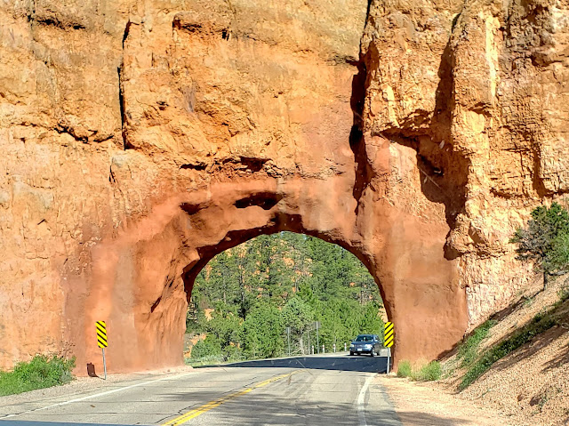
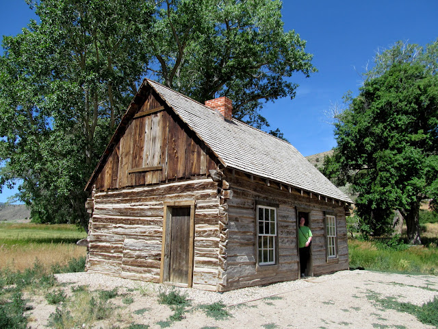
The last camp of our trip was in the Tushar Mountains. I’d never been in this part of Utah and the drive was wonderful. Traci and I stopped at Butch Cassidy’s childhood home just outside Circleville. Next we met up with Traci’s mom and our two kids in Junction, then started the steep ascent into the Tushars along UT-153. We climbed about from about 6,000′ in town to our camp spot at 10,200′, and I shifted the truck into 2-low for part of the drive. A total of 11 people camped with us during the weekend.

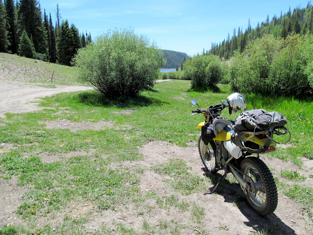
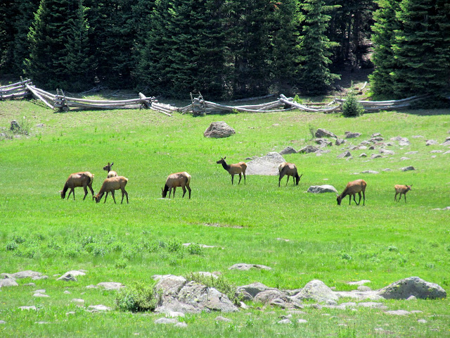
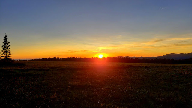
After setting up camp on Thursday I went for a ride on my dirt bike to Three Creeks Reservoir, enjoying the switchbacks on UT-153 and wishing I had a road bike. There were elk grazing on Big Flat as I returned to camp, and that evening we watched a decent sunset across the flats.
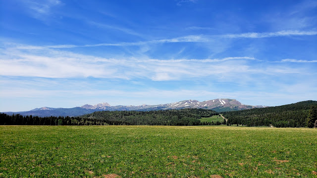
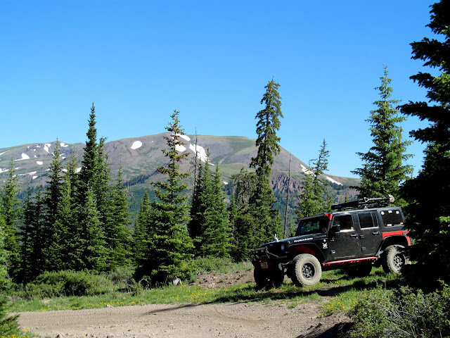
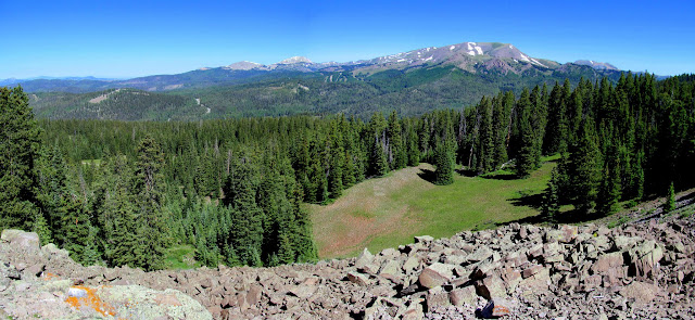
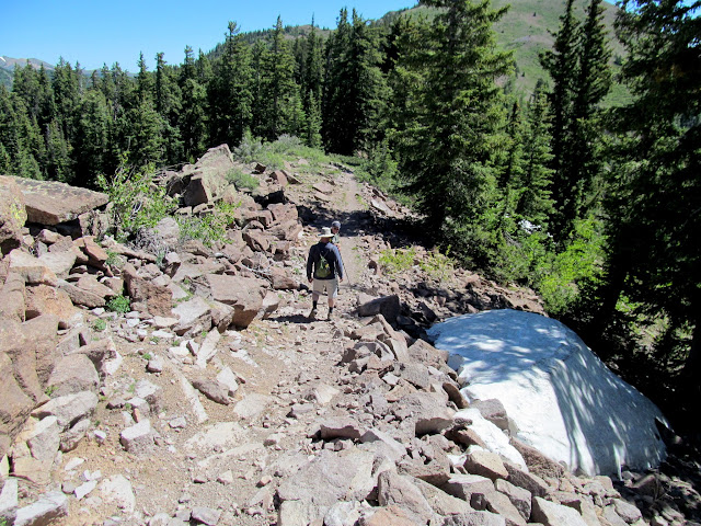
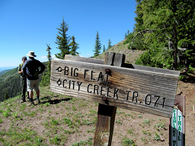
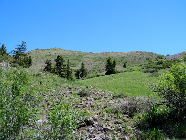
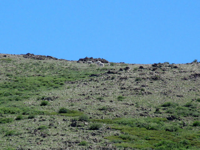
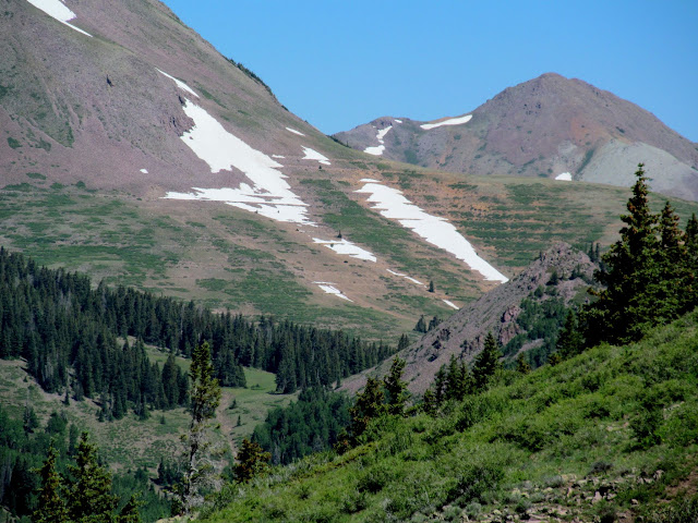
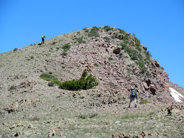
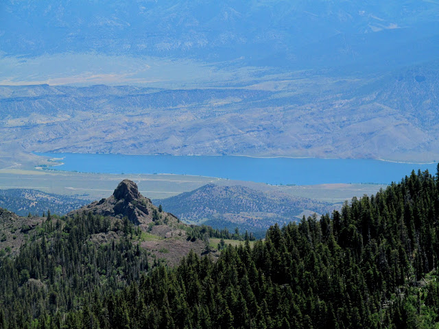
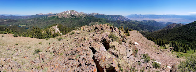
On Friday Ken, Paul, and I hiked to the summit of City Creek Peak. We took Ken’s Jeep to the trailhead and hiked along an old road until we reached the Skyline National Recreation Trail, which we followed the rest of the way to the summit. Some mountain goats were grazing near the summit as we approached, but they dropped off the east side of the ridge and we never got to see them up close. The views north from the summit toward the higher peaks of the Tushars provided a preview of where we hoped to hike the next day.



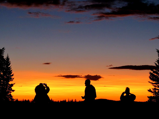
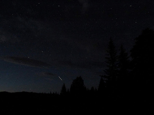
The sunset was beautiful that evening, and we watched the International Space Station streak across the sky.
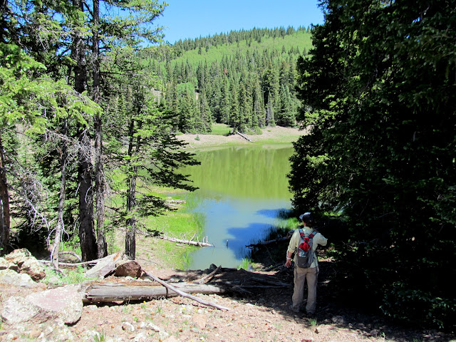
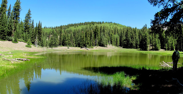
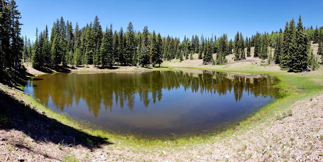
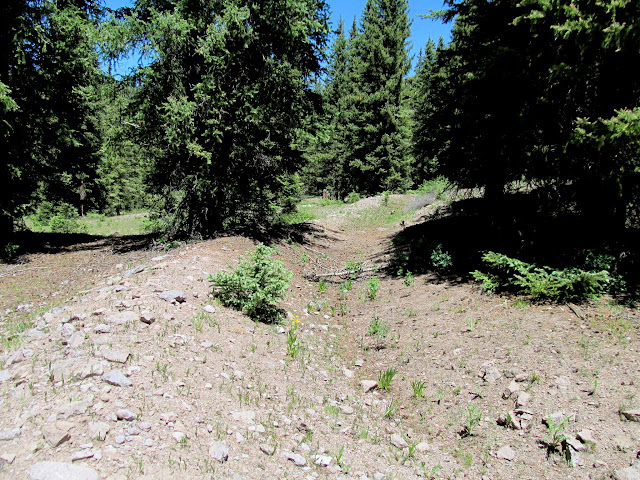
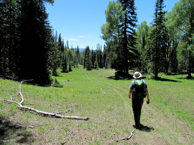
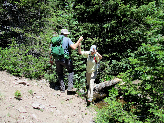
Saturday morning Chris, Georgia, and I set out to hike Mount Belknap, the second-highest peak in the Tushar Mountains (I’d already hiked Delano Peak, the highest in the Tushars, three years earlier). We only made it as far as Poison Creek where we found a locked gate, and even getting that far in my wife’s Honda Pilot was somewhat difficult. Hiking along the road would have added nine miles round-trip to our hike, which was way too much for any of us. Instead we retreated to where we had cell service and I found another nearby easy hike that was within our reach, Twin Lakes. I didn’t know what to expect from our hike to the lakes but info on the internet seemed to be pretty sparse so I assumed the area was visited infrequently. Along the way we spooked some elk that ran away from us, crashing through the trees, so we heard them more than saw them. We crossed Merchant Creek on a sketchy log and reached the southernmost lake first. A rock wall on the downstream side of the lake possibly indicated that a dam was built there to increase holding capacity. Beyond the second lake we found a now-dry irrigation canal that used to carry water into the lakes from Merchant Creek. After looping around the lakes we returned to our vehicle and then back to camp.




That night, like all the others during our trip where friends joined us, we played some games at camp and enjoyed time around the camp fire. On Sunday morning everybody scattered and headed toward their homes. I really wanted to finish driving the rest of US-89 from Junction north to I-70, but I didn’t want to descend the steep road that we’d driven in on, so we headed west to I-15 and followed an easier, more familiar route home.
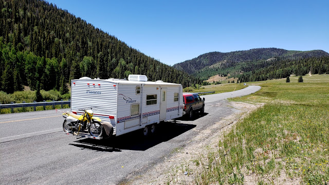
Photo Gallery: Road Trip Campin’ IV: Tushar Mountains
GPS Track and Photo Waypoints: [Google Earth KMZ]