
The area near the Wickiup in the central San Rafael Swell was the setting for this spring’s semi-annual geocaching event. I usually show up alone early in the week to secure my desired camp spot, but this time Traci followed me in the Jeep and we left the kids at home (under periodic supervision by their grandmother). Tuesday evening was windy with a light sprinkling of rain, though having my lady there with me made it all bearable.
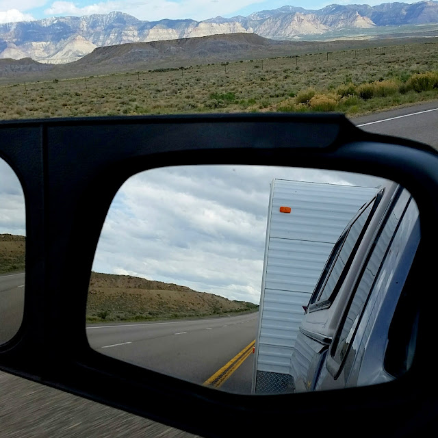
Heading south on Highway 6
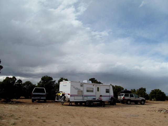
Camp’s all set up!
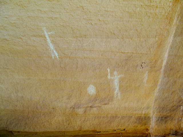
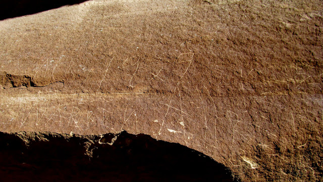
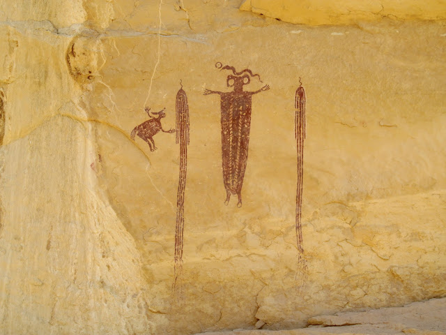
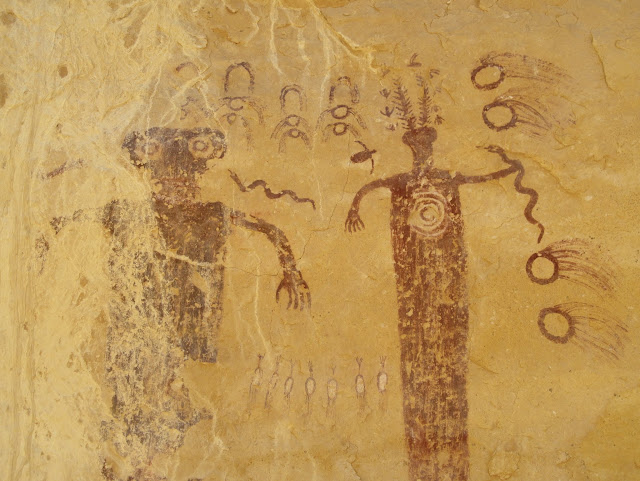
On Wednesday Traci and I drove to check out some pictographs between the lanes of I-70. Although I’d heard that these pictos somewhere along I-70, I had no idea of their location. A quick Google Earth search landed me a couple of probable locations, the first of which panned out. Along with the rock art there were several inscriptions, one belonging to Warren Allred from 1929. Little did I know this would be the first of many Warren Allred inscriptions that I’d see throughout the weekend. We also visited Dutchman Arch and found more inscriptions, then wandered over to Locomotive Point to view the amazing pictographs there.
Greenish-white pictographs and a PJP inscription
Apr 4, 1929, Warren Allred
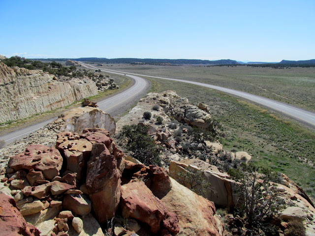
Between the lanes of I-70
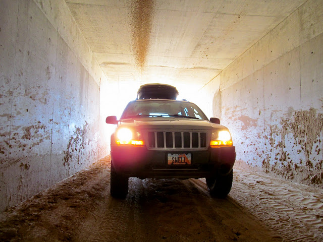
Swell Jeep under I-70
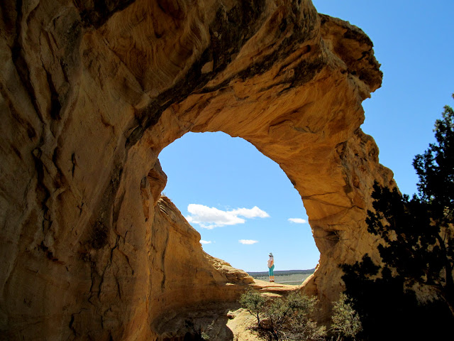
Traci at Dutchman Arch
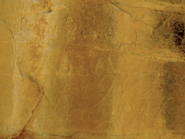
John Bunnell, May 14, 1897
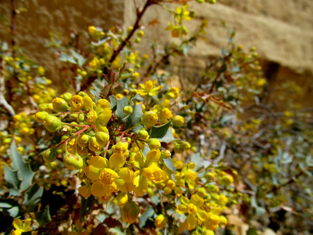
Fremont’s Mahonia in bloom
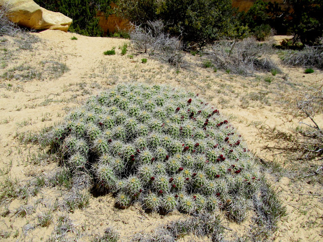
Monstrous mound of Claret Cup Cactus
Locomotive Point pictographs
Locomotive Point pictographs
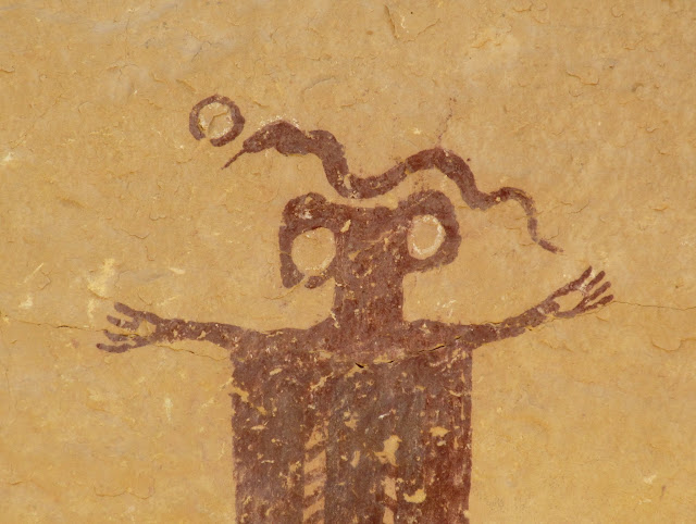
Locomotive Point pictographs
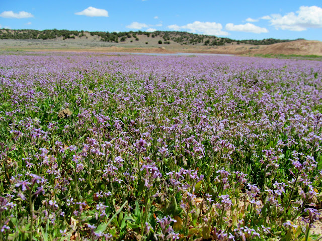
Road Draw, carpeted in purple flowers
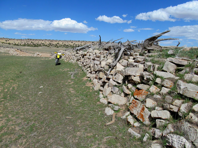
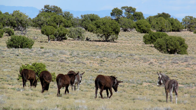
That evening I hopped on the dirt bike and rode a short loop across Jerry’s Flat, Rattlesnake Bench, and Sinkhole Flat, seeing some wild burros along the route. Ken and Jan also arrived and we enjoyed each others’ company for dinner.
Earthen and stone dam at Jerry’s Flat
Wild burros at Rattlesnake Flat
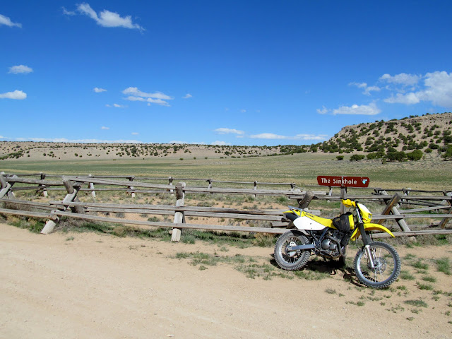
The Sinkhole
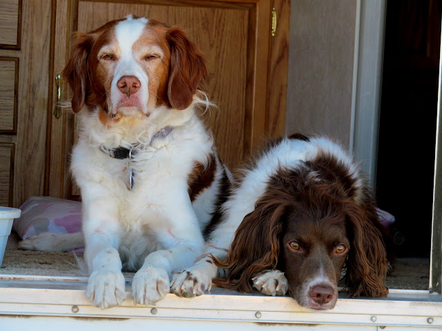
Torrey and Boulder in the camp trailer
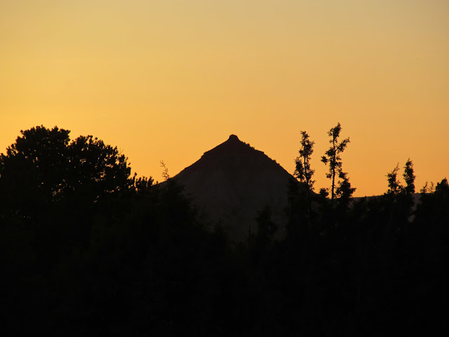
The Wickiup at sunset
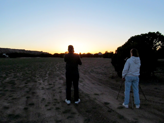
Ken and Jan shooting the sunset
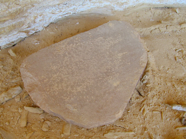
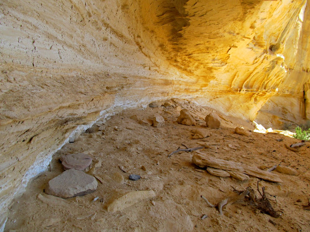
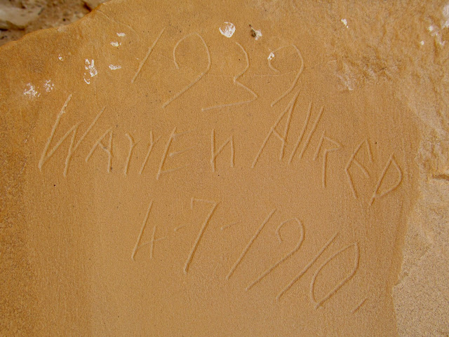
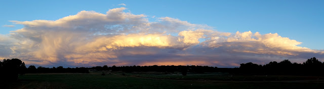
Thursday morning I drove solo back to Locomotive Point to see the rest of the pictographs that we skipped the day before. I also visited a couple of alcoves that showed signs of both prehistoric and historic occupation. The first had another Warren Allred inscription, but several other inscriptions had been abraded off the sandstone. 🙁 The second alcove was pretty amazing considering its location. Inside were several metates–some were small standalone pieces and others were set in a small boulder. It’s a wonder that so much grain processing would be done in such a dry location with no apparent water sources nearby. Carved in the boulder metates were a couple of inscriptions, one by the ever-present Warren Allred. That evening it rained again briefly. I took the dogs for a walk near camp, rode my dirt bike, and photographed the storm clouds as they passed by.
Locomotive Point pictographs

Undated Warren Allred inscription
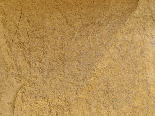
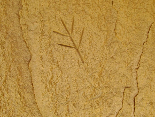
J.S. initials and brand
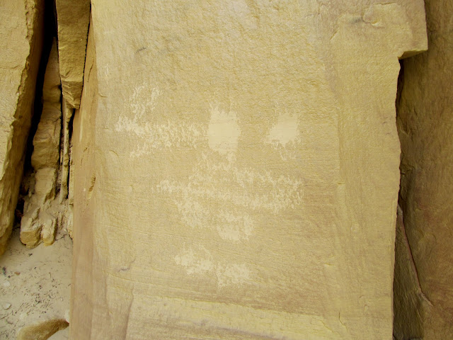
Abraded cliff face
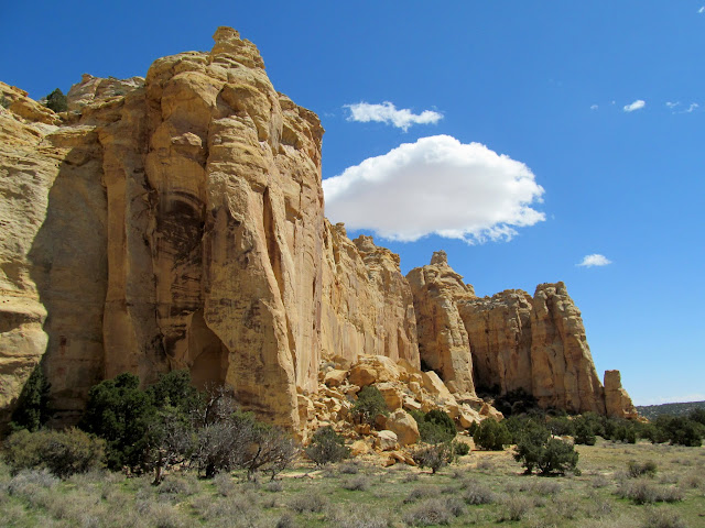
Locomotive Point
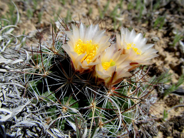
Cactus blooms
Metate
Alcove with metates
Warren Allred inscription in a boulder metate, with 1910 and 1939 dates
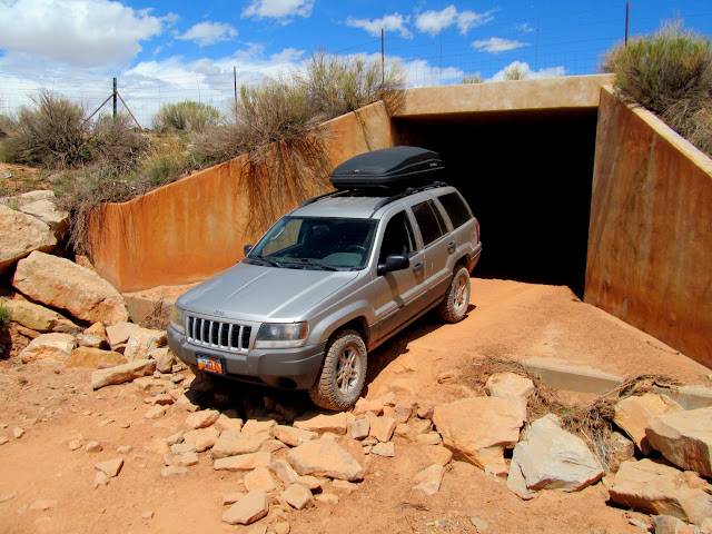
Rough crossing under I-70
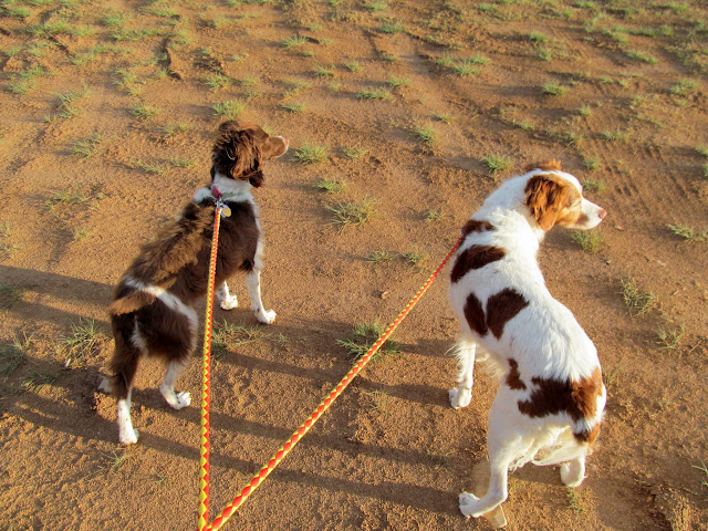
Walking the dogs
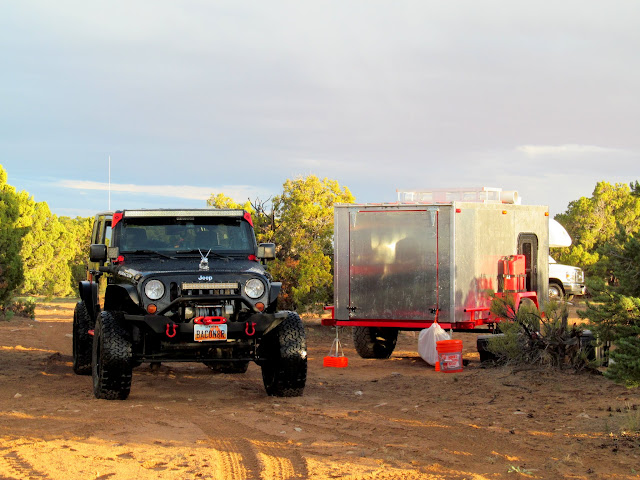
Ken’s Jeep and hand-built trailer
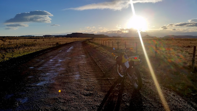
Riding the gravel road on Sagebrush Bench
Passing storm clouds at sunset
Cloud detail
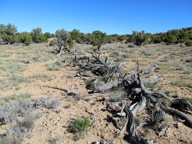
On Friday we had a good group at camp. Seven of us set out in three Jeeps that morning to drive through Eagle Canyon. Along the way, near Home Base, we stopped to check out a wild horse trap/corral with 1/4-mile long brush fences that would direct the horses into the corral as they were being stampeded. While stopped at Swasey’s Cabin we hiked a short distance to an alcove with some cowboy inscriptions and possible signs of Indian occupation.
Wild horse trap/corral at Home Base
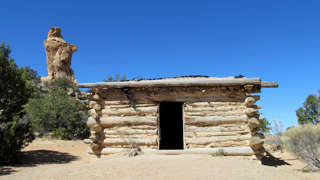
Swasey’s Cabin
Various etchings in a boulder
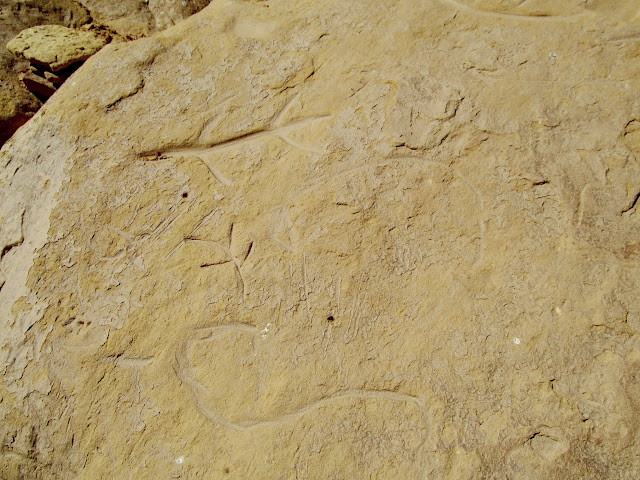
Alcove near Swasey’s Cabin
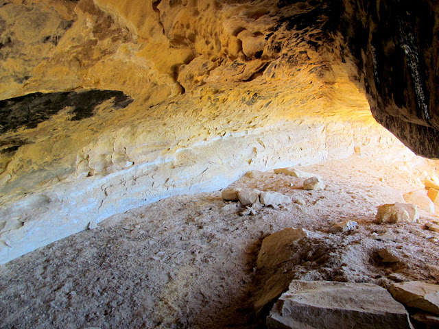
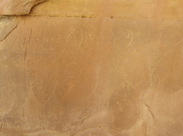
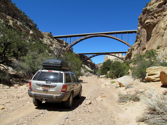
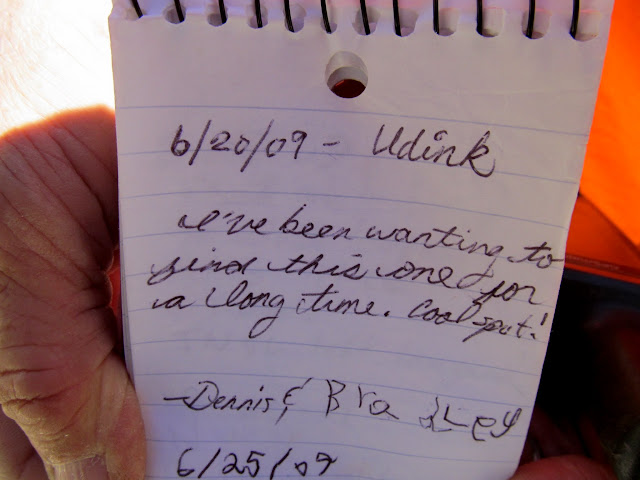
The descent into Eagle Canyon and the drive through the canyon bottom went smoothly–I had the Jeep in 2WD the entire time. I had to stop when I spotted some inscriptions dating back to the early 1900s. We drove under the I-70 bridges and found a geocache that Bradley and I had found in 2009, the day after Bradley’s 6th birthday. The climb out of Eagle Canyon to Secret Mesa required 4-low, and the Jeep scraped a skid plate on one ledge, but otherwise it was a breeze. Back at camp we found that more friends had arrived and enjoyed a fun evening.
Eagle Canyon Arch
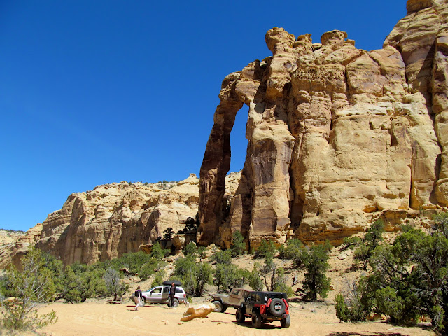
WJ and CJ in Eagle Canyon
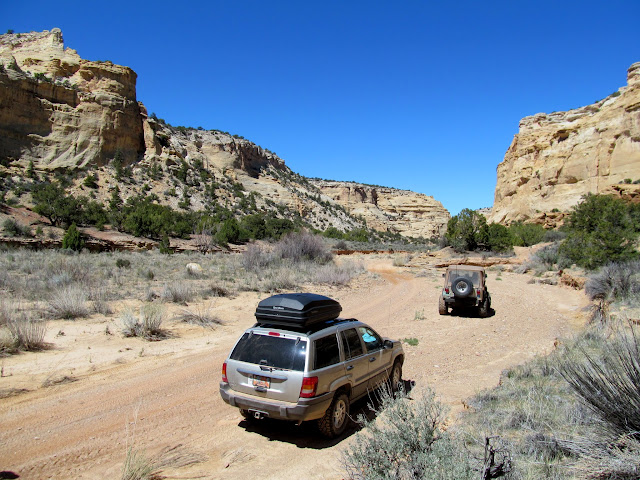
W.H. Lowry, Apr 12, 1906
I-70 bridges over Eagle Canyon
Geocache log signed by Bradley and me eight years ago
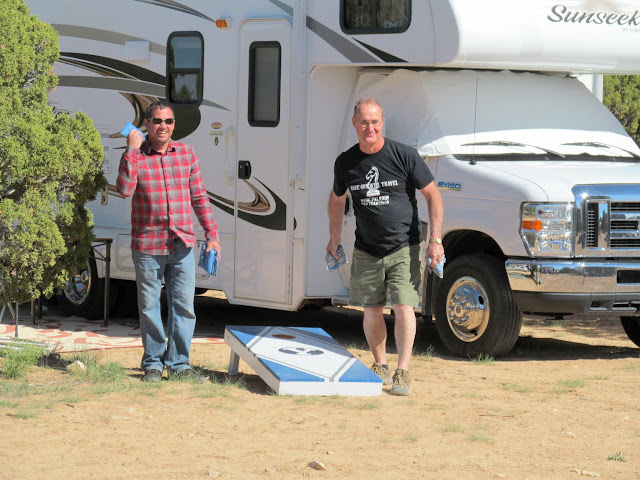
Playing cornhole
360-degree panorama of camp

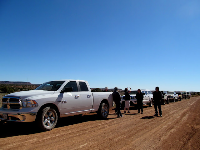
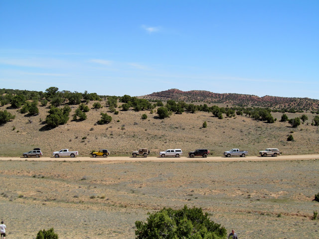
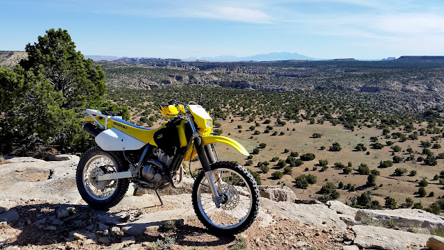
Saturday was our big group activity. I led a large group of eight vehicles–four Jeeps and one each of a Bronco and Ford, Dodge, and Toyota pickups. We crossed to the south side of I-70 and entered Red’s Canyon, and made stops at the Lucky Strike Mine and Tomsich Butte before eating lunch near Muddy Creek. A drive across Taylor Flat completed the loop and we stopped for many geocaches along that stretch. In the evening, before a big potluck dinner, I went for a ride on my dirt bike across Cliff Dweller Flat to a super nice spot overlooking upper Eardley Canyon.
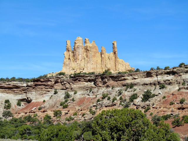
Family Butte
The crew stopping to find a geocache
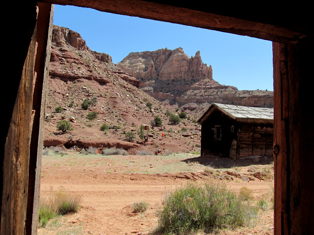
Inside a building at Lucky Strike Mine
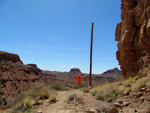
Ken showing off his pole
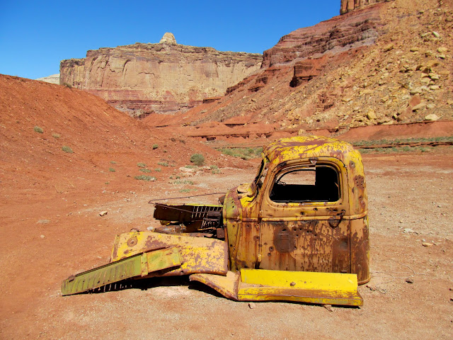
Truck cab at Tomsich Butte
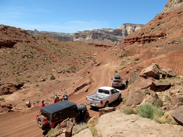
Road near Tomsich Butte with Hondu Arch in the distance
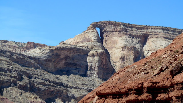
Hondu Arch
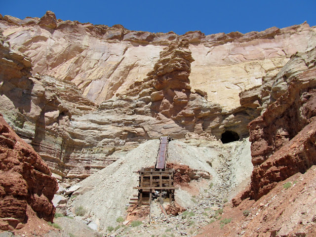
Dirty Devil Mine
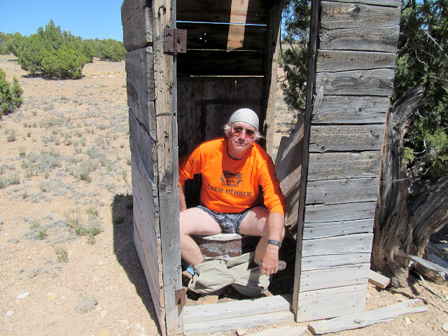
Outhouse at McKay Flat
The convoy
South end of Cliff Dweller Flat, overooking Eardley Canyon and the Henry Mountains
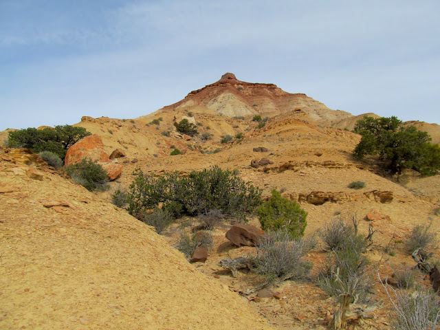
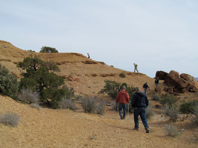
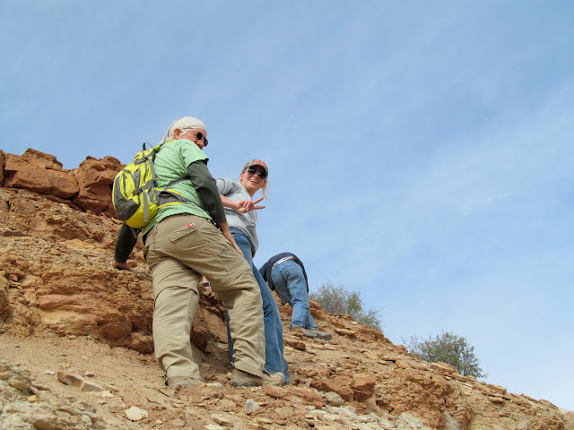
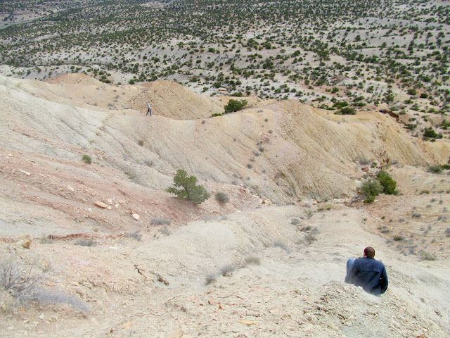
I saved the best for last. On Sunday morning a few of us drove a short distance toward the Wickiup with the intention of hiking to the summit. We parked about a mile shy of the Wickiup and hiked along a ridge to the base, and then only about half of the group continued up the steep slope toward the summit. I had hiked to a geocache just below the summit in 2005 and I’ve since regretted not scrambling up the last steep, loose chute to the summit. It was sketchy enough just getting to the geocache this time. I stood below the summit chute for several minutes trying to get up the nerve to make the final climb. It wasn’t the climb that had me worried, though. Getting back down without losing my footing and sliding off a cliff was going to be a challenge. Kenny was the only one in the group that made it to the summit, a job well done! We stumbled and slid back down more easily than the ascent. During the hike back to the vehicles I again began to regret not trying harder to make the summit! Returning to camp, everyone began to pack up and head home. We’d had a great turnout for the event, with several good adventures, and for once I wasn’t depressed to be leaving all my friends. See you all again in six months!
The Wickiup from our starting point
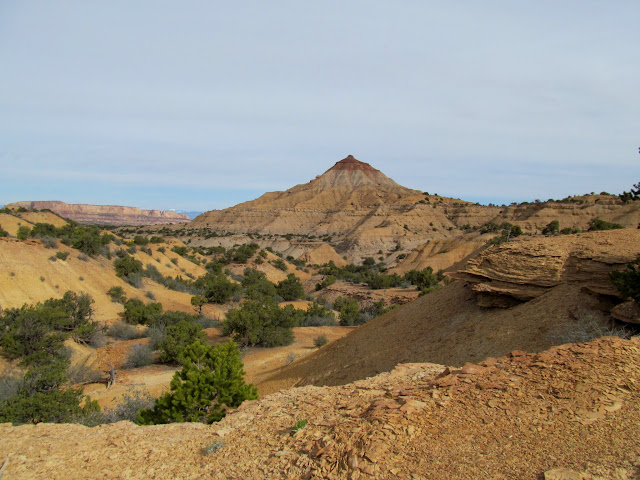
At the base of the Wickiup
The crew beginning the ascent
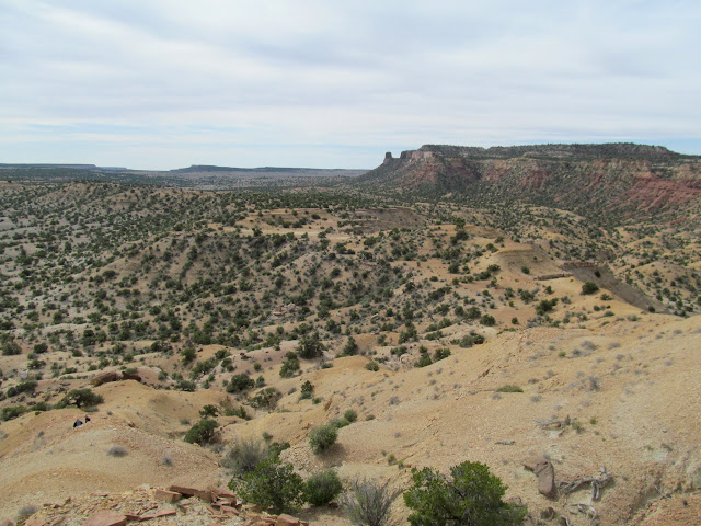
View southeast from the Wickiup
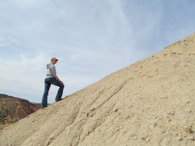
Karin on the steep slope
Scrambling up the worst part
Kenny on the plateau below the summit
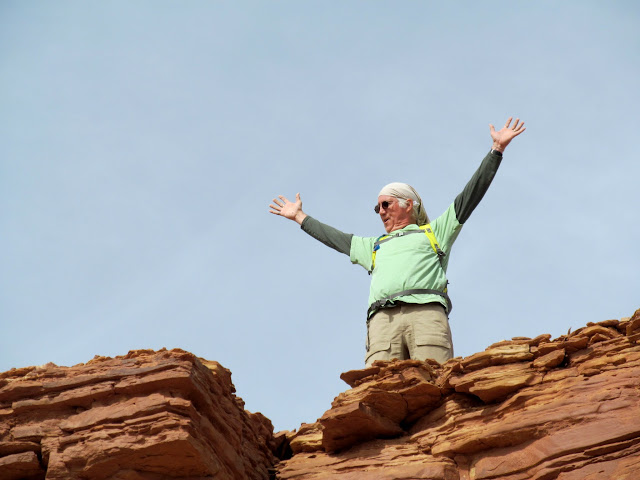
Kenny on the Wickiup summit
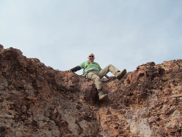
Brent sliding down
Three handsome Jeeps awaiting our return
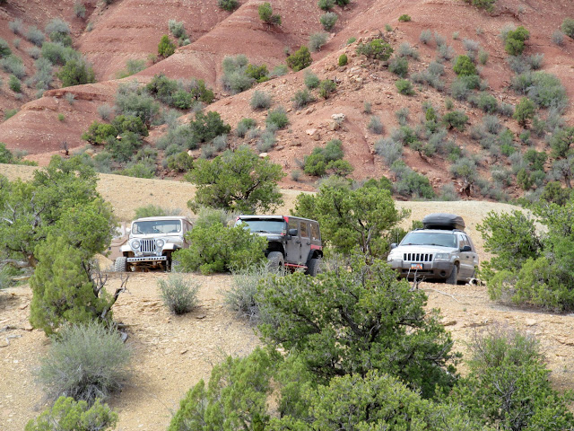
Photo Gallery: Swell Spring 2017 at the Wickiup