
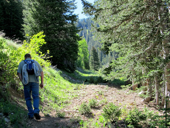
On Saturday Mark and I hiked Mt. Waas in the La Sal Mountain range, the highest point in Grand County at 12,331′. I had also hoped to hike Mt. Peale the same day, but Waas proved to be a bigger challenge than I expected, especially starting from Miner’s Basin instead of the shorter Beaver Basin route. I chose the Miner’s Basin route due to the shorter driving time between there and La Sal Pass (the usual starting point for hiking Mt. Peale), but ironically that probably contributed to not being able to hike Peale. We left Price at 6:00AM and by 9:20 we were hiking east up the trail from Miner’s Basin, starting at 9,700′. The majority of the hike followed old mining tracks that are now overgrown and obstructed by fallen trees. Very early on I saw bear tracks in some dried mud. They were obviously not very recent but still put Mark and me on alert. We saw many scat piles along the trail, though they didn’t look like bear scat to me because they were full of grass. I learned later that bears do indeed eat grass and that these were likely bear scat.

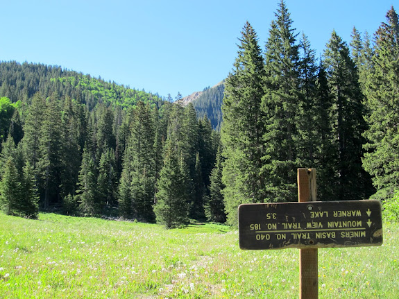


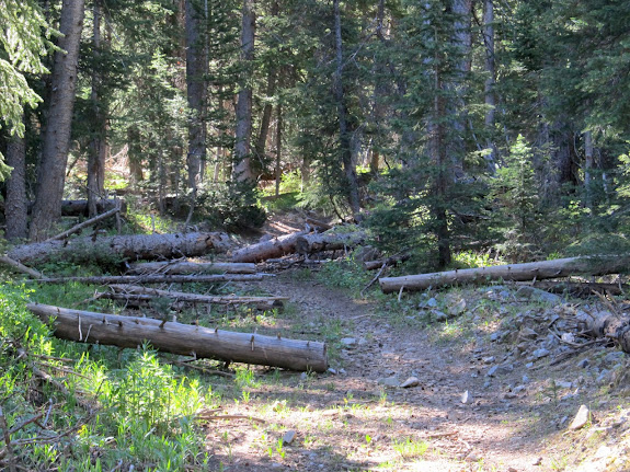
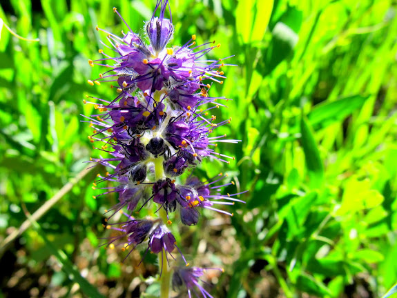
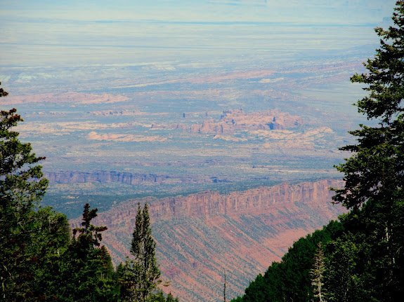
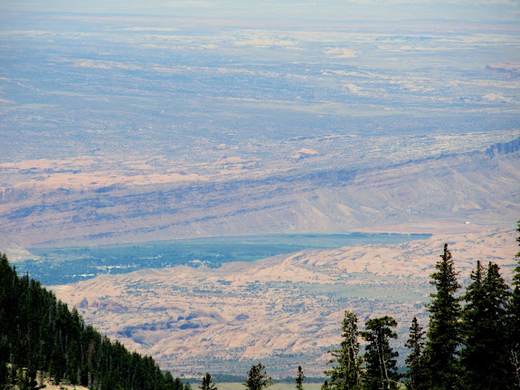
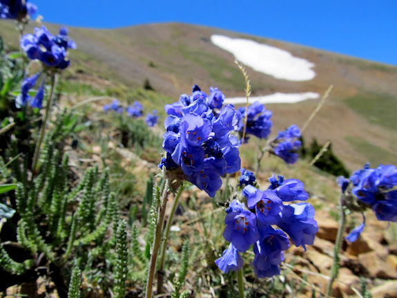
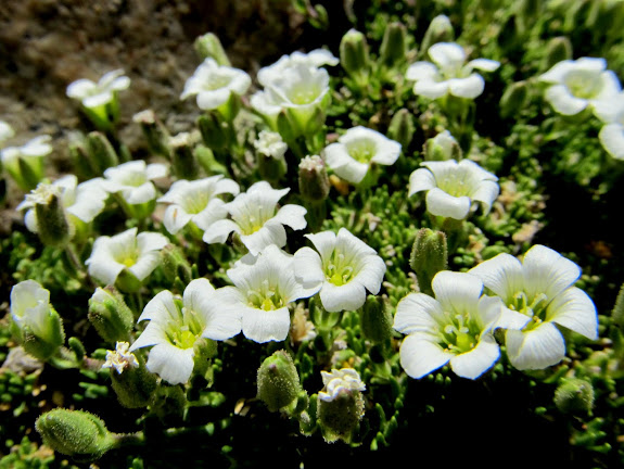
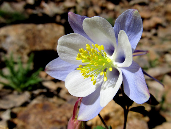
The trail curved south, then at an unmarked junction turned back to the east. After finding the trail junction I noticed there was actually a sign but it had been so chewed by rodents as to be unreadable. We followed the switchbacks on the mining track as the trail gained elevation. We eventually climed high enough to gain views into the desert far below to the northwest. Parts of Moab, Spanish Valley, and Arches National Park were visible. Wildflowers were abundant.

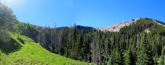


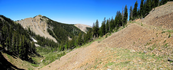
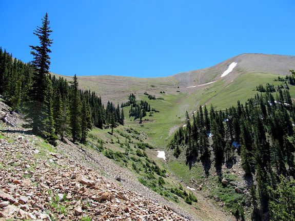
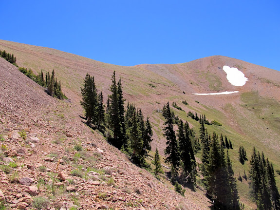

It took 3.5 hours to reach the ridge at the top of the mining track. That was much longer that I was expecting as the terrain was steeper than I envisioned. Once on the ridge we followed it north to point 12,163′ which has an old radio shack perched on top. We skirted around the very top of the peak so as to not gain unnecessary elevation. From the peak we descended into a saddle before beginning the final climb up Mt. Waas. There was a lone hiker on top of Waas who began his descent into the saddle at about the same time we did, and we met in the saddle and talked for a bit. He was from Denver and had summited four peaks in the La Sals over the weekend, and he said we were the only people he’d seen while hiking.


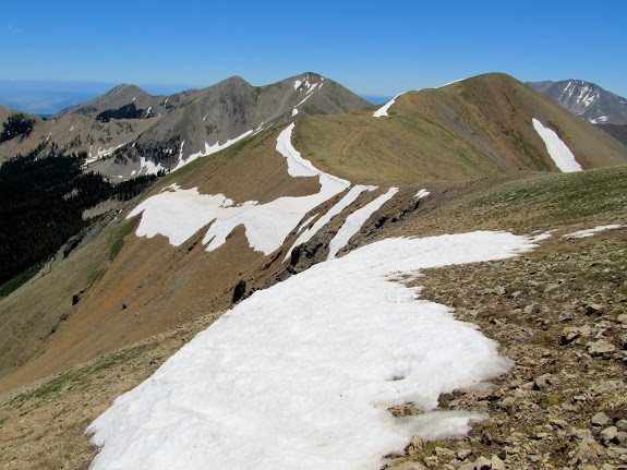


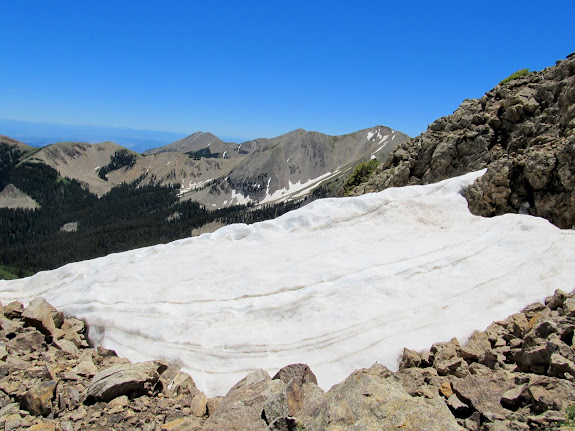
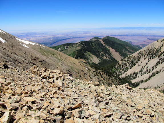
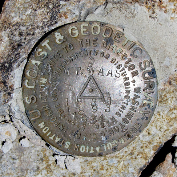
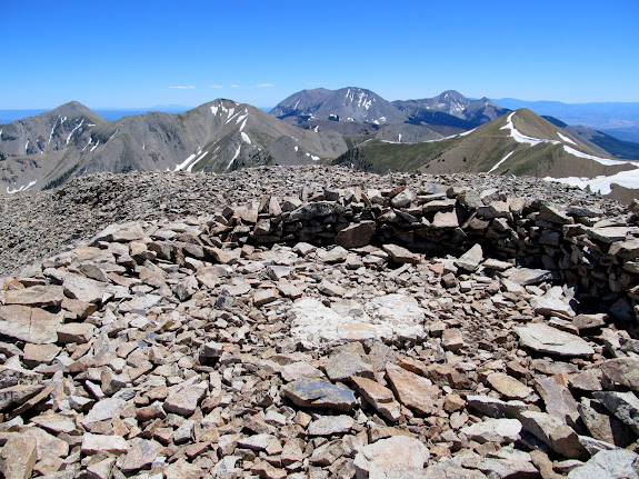
There is sort of a trail up the western flank of Mt. Waas. I say “sort of” because it’s clearly visible, switching back and forth up the mountain, but it offers little in the way of a clear path or good footing. It’s all loose talus, and very steep. At the top was a circle of rock surrounding a survey marker. The views, although obscured by haze, were absolutely stunning. The La Sals can be seen from many places where I normally recreate, and it was satisfying to finally swap perspectives.


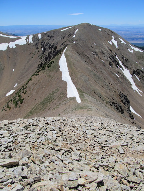



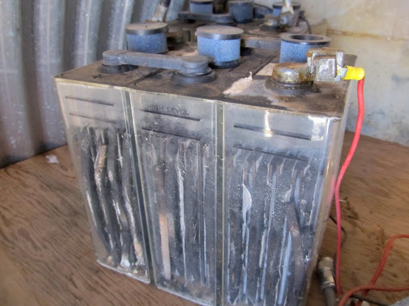
We spent only a short while on top of Mt. Waas–long enough to give our wives a status update and to look unsuccessfully for a geocache. The hike back down the talus was worse than going up. Going from the saddle back up to point 12,163′ was the most difficult part of the hike. My legs were almost done, and I had to stop every 20 or 30 steps to rest for a few minutes. I pushed myself all the way to the top of the peak this time so I could check out the radio shack. Inside were old batteries and radio equipment and coaxial cables. I stopped twice during the descent back to the trailhead to take ibuprofen to rid myself of a headache and sore muscles. As we descended I began to feel better, both physically and then psychologically.


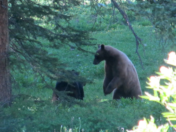
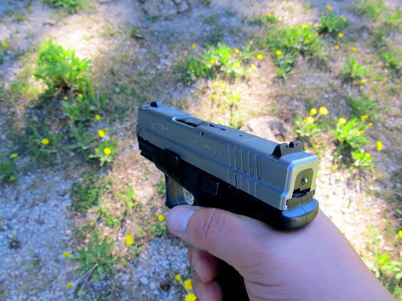
Mark and I had joked several times during the hike about having bear encounters. I’d eaten a packet of tuna but forgot utensils so I used my fingers, and we laughed that I’d be the first one a bear would go after. On the return hike when we were about a quarter of a mile from the trailhead we both stopped dead–there were two bears less than 100 yards ahead of us on the trail. It looked to me to be a mama and her yearling cub. They were foraging in the grass where the trail crosses a stream and didn’t immediately see us. Mark and I just stood there observing the bears and taking photos. The mama noticed us after a couple of minutes and and just stared at us, unmoving. It was an intense moment for me, not knowing what she was thinking. Finally the mama bear bolted away from us into a clearing, but the cub went the opposite direction into the trees! We were still stuck there, unable to continue down the trail without coming between a mama bear and her cub. The mama stopped when she noticed the cub wasn’t with her, and she turned and alternated between looking at us and in the direction of the cub. Then she ran back across the clearing and into the trees, following the cub. Watching her run was frightening. I knew that bears could easily outrun a person, but she was disturbingly fast. That she was running at an angle perpendicular to us was little consolation. My heart didn’t start beating again until she disappeared into the trees behind the cub. Mark and I stayed put a little longer to give them time to move farther away, then we slowly and cautiously started back to the trail. I drew my gun since we’d be passing close by the trees and might have little warning if we got too close without realizing it.


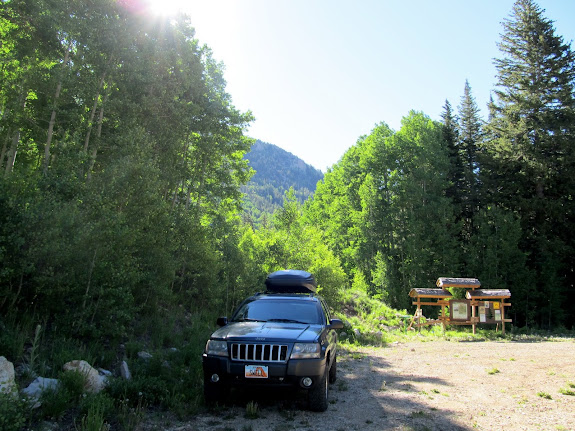
It was a relief to get back to the Jeep at the trailhead. We never did see the bears again after they ran into the trees. It had taken us 8.5 hours and we covered 8.5 miles–not a bad pace, I suppose, for such steep terrain. The elevation difference between the trailhead and the top of Mt. Waas is about 2,650′, but the gain/loss to get over point 12,163′ (twice!) pushed us to almost 3,500′ of elevation climbed. Cold drinks and salty snacks were waiting for us in the Jeep. We sat inside with the air conditioning running and the windows down while we ate and drank, then started the 3+ hour drive home.

Photo Gallery: Mt. Waas
Maps with GPS Tracklog and Photo Waypoints:
[Google Earth KMZ] [Google Maps] [Gmap4 Topo]