
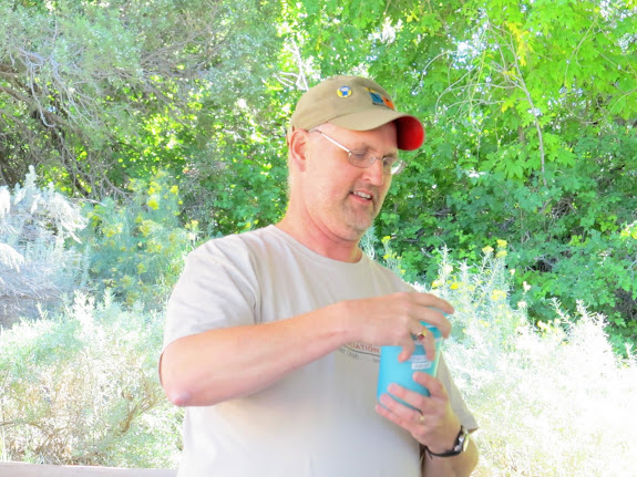
Two weeks ago I spent some time in the Moab area, and last weekend I attended a geocaching event. This most recent weekend I did both. A statewide geocaching group held their semi-annual event in Moab, and I took my kids and dogs there with me. We left Price early on Saturday morning and met up with Chris just north of Moab, then drove to the southern end of Moab to kill some time before the event. Chris parked his car and hopped in the already crowded Jeep with me and we tried to drive into Behind the Rocks. I had no previous knowledge of what the road would be like, and it turned out to be too much for my Jeep. I crawled over several rocky sections before reaching a tall, ledgy hill that I didn’t dare climb. We turned around and headed back to Moab and played some disc golf at the Old City Park while waiting for the other geocachers to arrive. During the event we ate lunch and visited for a couple of hours.

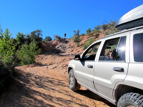
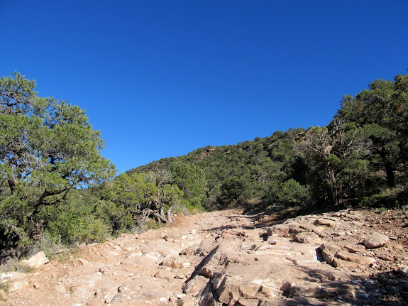
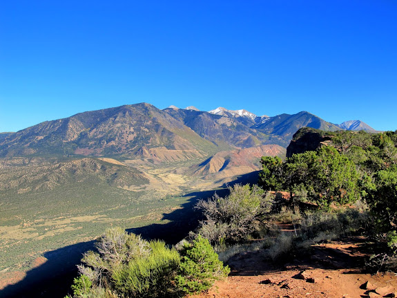
After the event we again parked Chris’ car and drove the Jeep into the Sand Flats Recreation Area. Our goal was to drive/hike the Porcupine Rim Trail to the overlook of Castle Valley. At the Porcupine Rim turnoff there was a Tahoe with Colorado plates parked in the middle of the entrance road. I parked behind it and Chris and I walked down the road a short distance to decide whether we wanted to try driving down it. We encountered two absolutely clueluess women on mountain bikes coming up the road who were returning to their vehicle that was blocking the road. One of them asked us something like, “Just checking the trail out?” and I replied that yes, we were deciding whether to drive or hike down it. She replied, “You know this is the Porcupine Rim Trail?” Apparently she thought it was closed to vehicles. I wish I’d have had a witty comeback, but instead I did a condescending, “Uh, yep!” and got in the Jeep and drove around her vehicle. We only made it about a quarter of a mile down the rough road before realizing that it would be faster to hike it. I parked the Jeep just off the road and we all hiked the remaining 1.25 miles to the rim. The view from there was very nice. I especially liked the BLM sign just before reaching the overlook. We left Sand Flats and retrieved Chris’ car, then we headed south of Moab to find a place to camp.



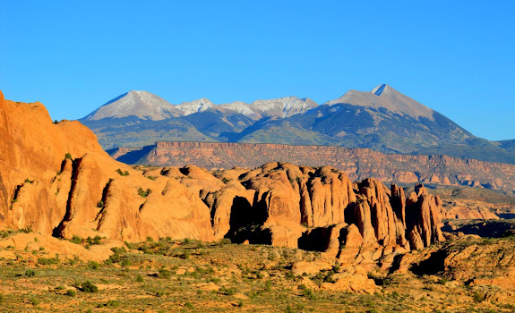
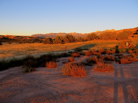
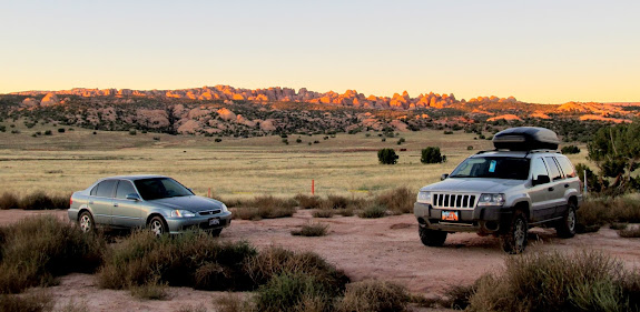
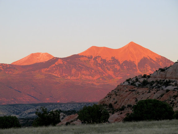
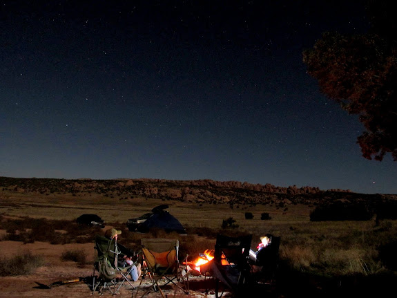
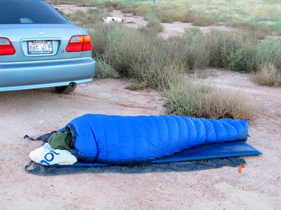
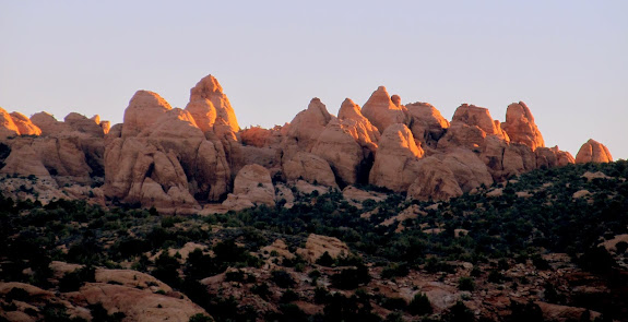
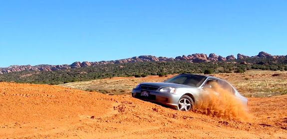
We found a decent spot on the north side of Bridger Jack Mesa just as the sun disappeared behind the horizon. I started a camp fire and everyone ate dinner, then the kids and I set up our tent. The kids retired to bed early while Chris and I sat at the fire into the night. After breakfast the next morning we packed up camp and drove to some nearby dunes and played in the sand. I’m not sure who had more fun: the kids who ran around in their bare feet, or Chris and I who rallied our vehicles. 😀

We spent the rest of the morning and afternoon driving along the Looking Glass Road. Our first stop was at Looking Glass Rock where we found a geocache and I found some petroglyphs and pictographs. As we continued southwest along the road there were many dwellings blasted into the cliffs across a wide area. Some were old and some were new, with some at Hatch Rock still in the process of being built. Our lunch spot was at a rock formation on Hatch Point. After lunch we drove back through Moab and found a couple of geocaches north of town. By then the kids were all funned out and ready to head home, so that we did.
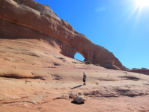
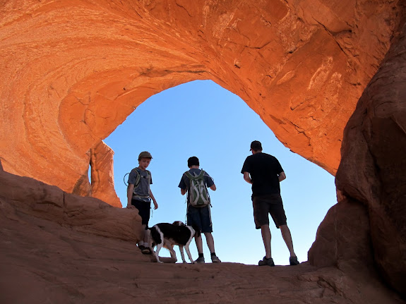
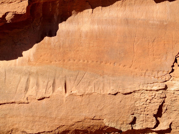
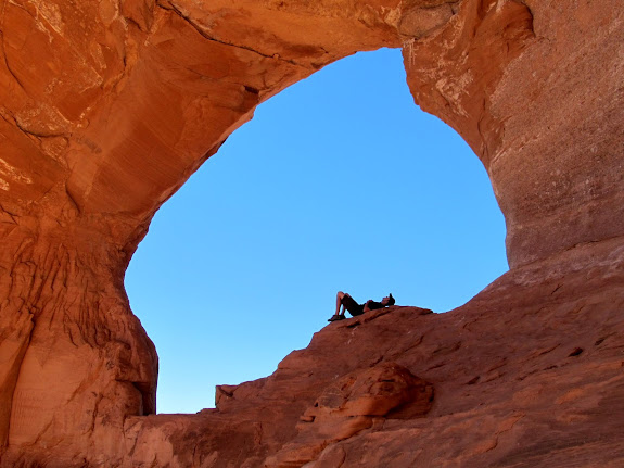
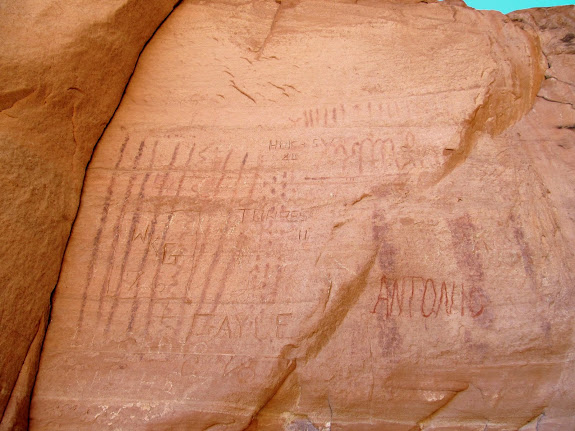
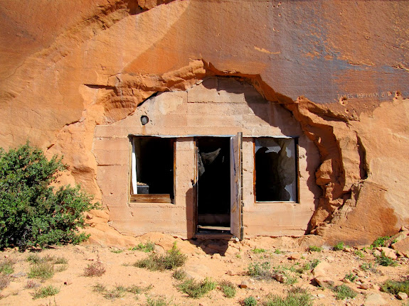
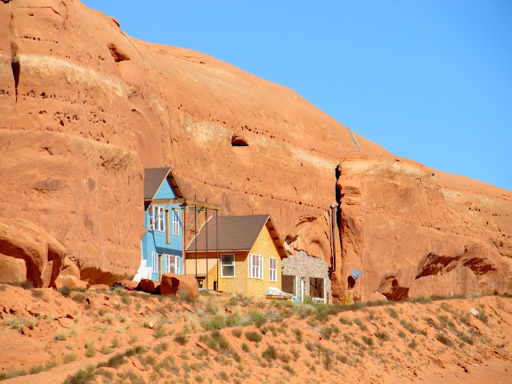

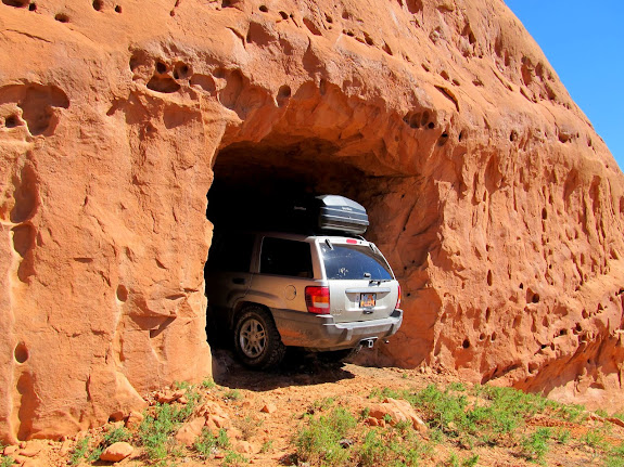
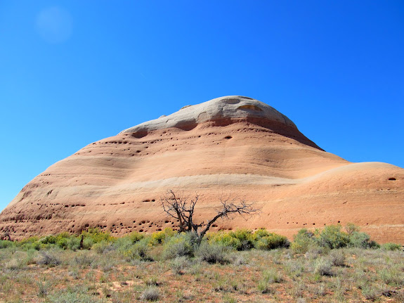


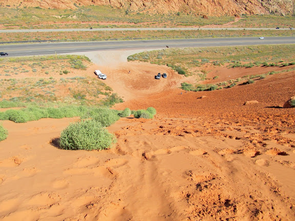
Photo Gallery: Moab, October 2014
GPS Tracklog and Photo Waypoints:
[Google Earth KMZ] [Google Maps] [Gmap4 Topo]