
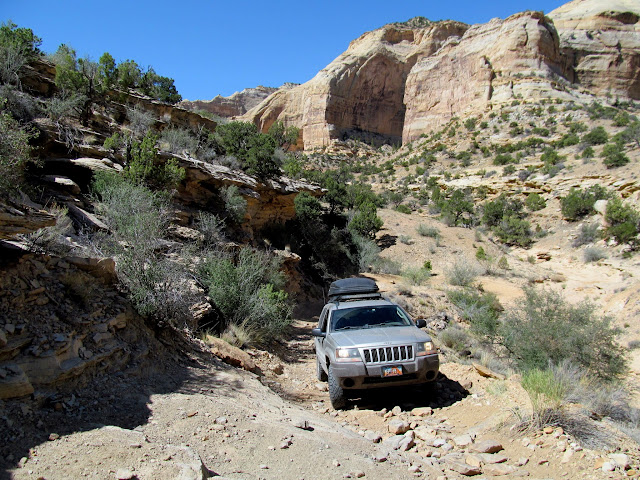
The Southern Utah Wilderness Alliance (SUWA) has recently been railing hard against legislation that would settle wilderness designations in the San Rafael Swell. I spent last weekend in a hotly disputed area of the Swell. If SUWA had their way, every single road I drove after leaving the graded gravel road would be closed because each one borders or is within the Sid’s Mountain Wilderness Study Area. SUWA argues that, “WSAs would be released in the Sids Mountain region to ensure that off-road vehicle use in those canyons would be perpetuated.” In fact, the WSA would be designated full-on wilderness under the bill, not released as SUWA blatantly lies. SUWA’s language shows that they object to the existing roads being left open under the bill–roads which have been open to and utilized by motorized vehicles for as long as motorized vehicles have existed, and in fact were traveled by wagons before then. Read on to see the many ways in which this part of the Swell might be wrecked by people such as me having access to these roads.
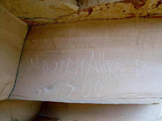
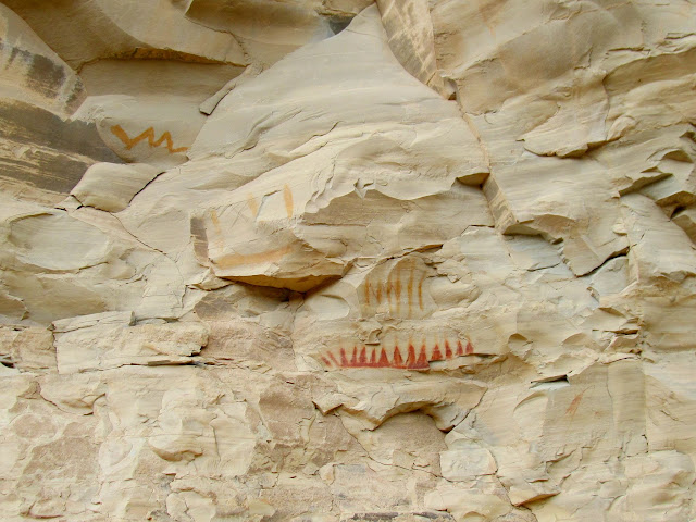
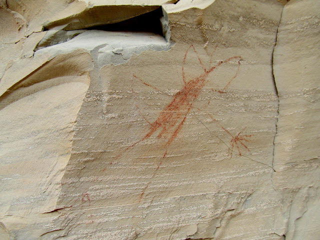
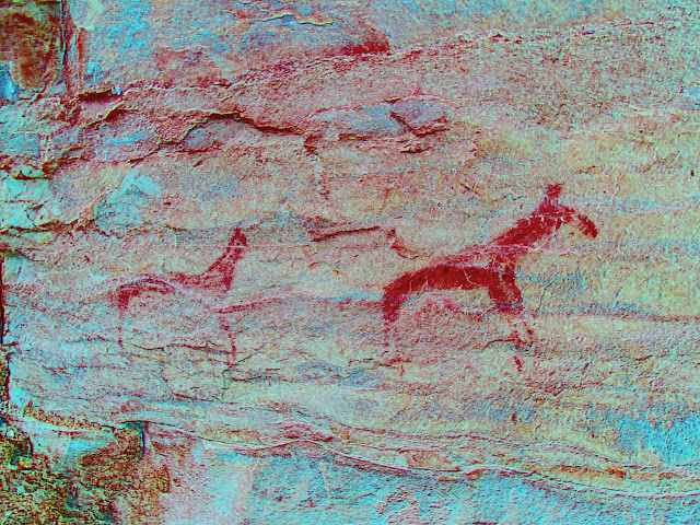
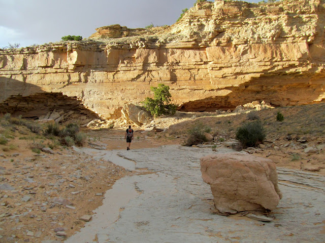
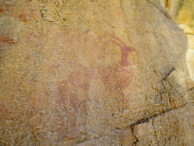
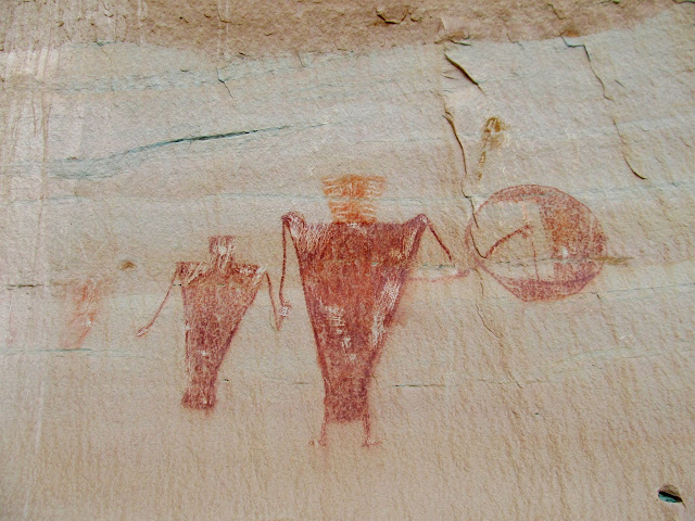
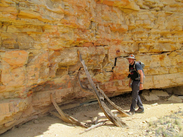
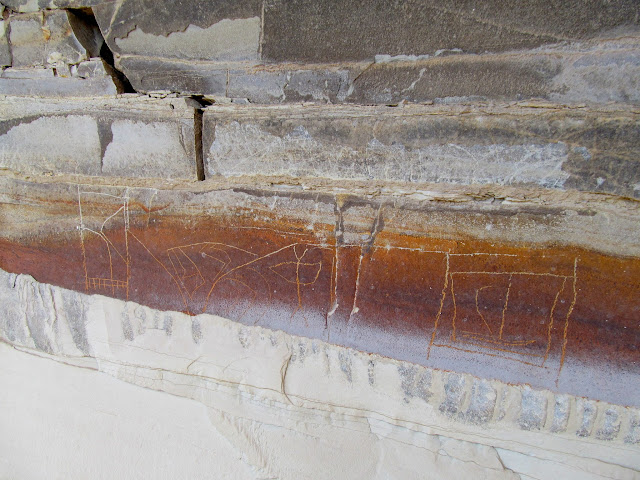
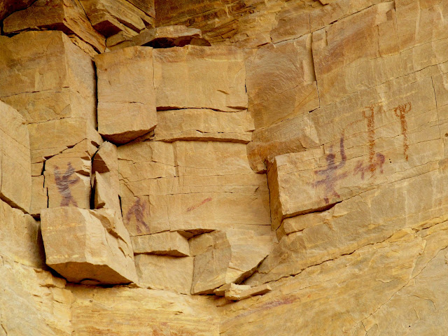
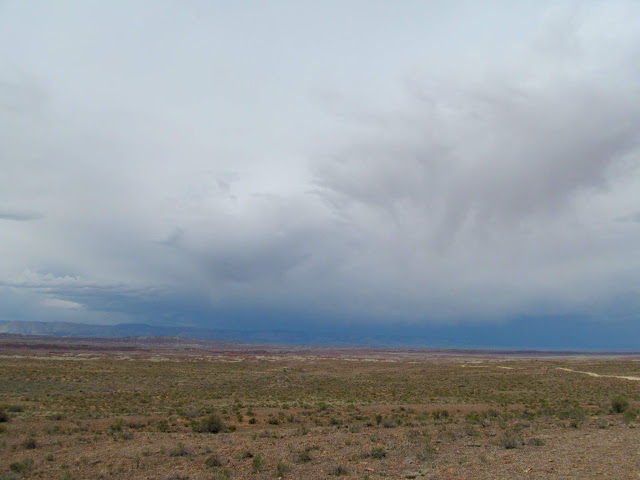
As is our routine, Chris drove from SLC and met me at home where we loaded his camping gear into my Jeep, then we headed south. We left early enough that we had time for a couple of short hikes before the sun went down. These and all the other hikes that we would do over the weekend were in the Sid’s Mountain WSA. First we walked cross-country and then down a wash until reaching an overhang that sheltered some Fremont pictographs and a few cowboy inscriptions from the early 1900s. Next we found our way down into another canyon to find some rock art and an inscription that I’d heard about. Chris and I split up, with him hiking up the canyon while I searched some cliffs away from the watercourse. I found some pictographs–pretty good ones, too–but their location didn’t really match that of the rock art I was looking for. The main panel seemed to be Fremont, but some very faint pictographs nearby resembled horses (or perhaps moose?). We never did find the inscription, but didn’t have enough daylight to make a thorough search. We had also been watching a dark storm hanging out a short distance away that occasionally sprinkled on us, and decided to get out of the canyon before it hit us. The area around this canyon certainly deserves an entire weekend of exploration by itself.
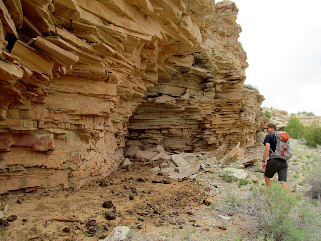
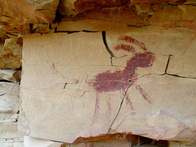
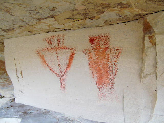
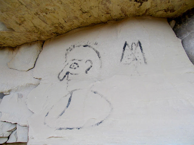


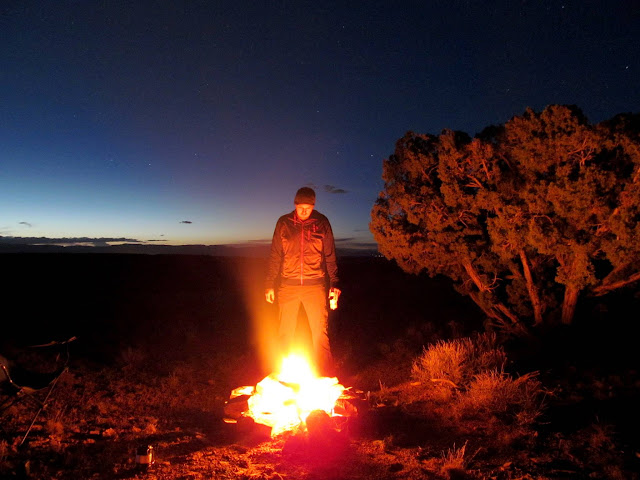
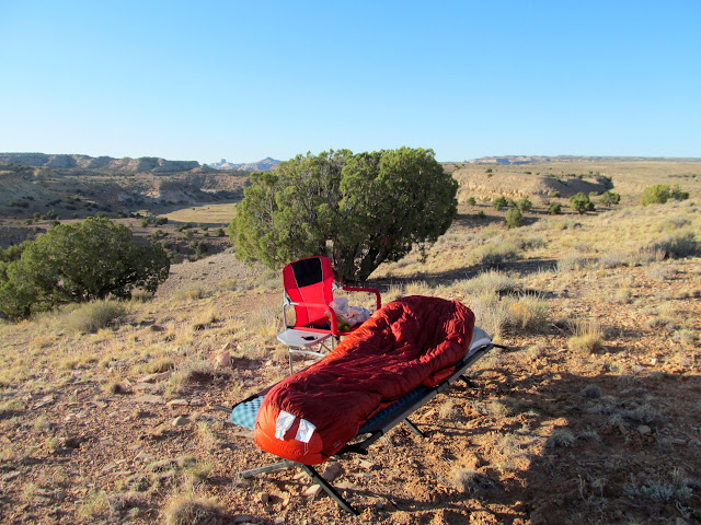
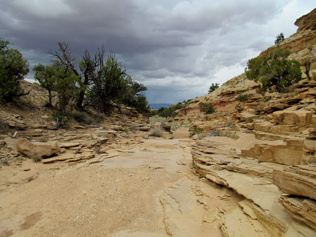
We were driving after the sun set looking for a spot to camp, and found one on the rim of Coal Wash. While checking out our digs for the night, Chris and I walked toward the rim of the canyon and could hear water rushing down below! That storm had dumped enough enough rain to make Coal Wash flow pretty good. We hoped that wouldn’t mess up our plans for the rest of the weekend. The sky cleared and we had a pleasant night sleeping on cots out in the open, with no rain, no bugs, and perfect temperatures.
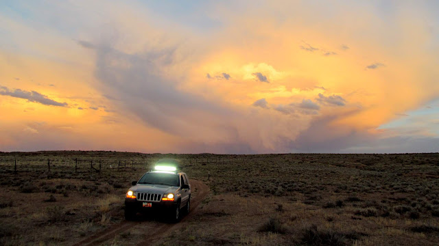
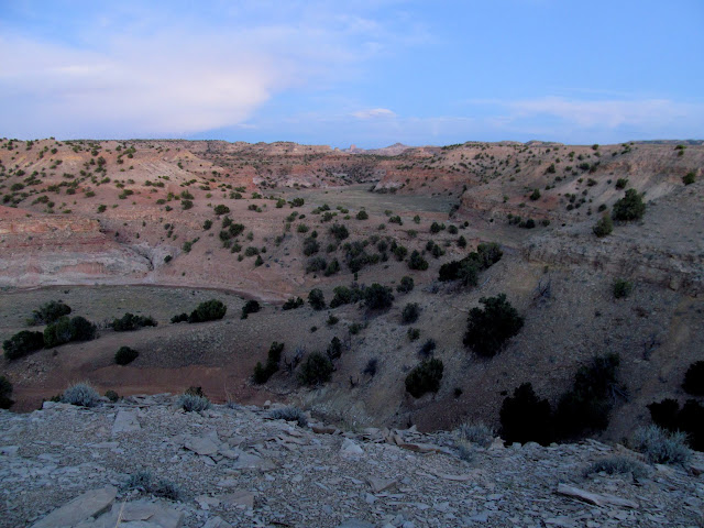
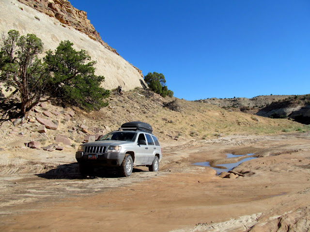
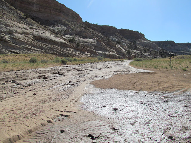
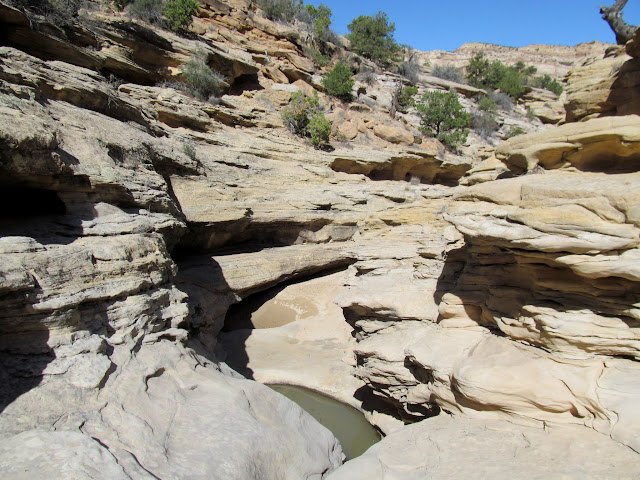
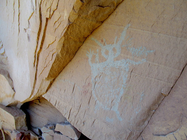
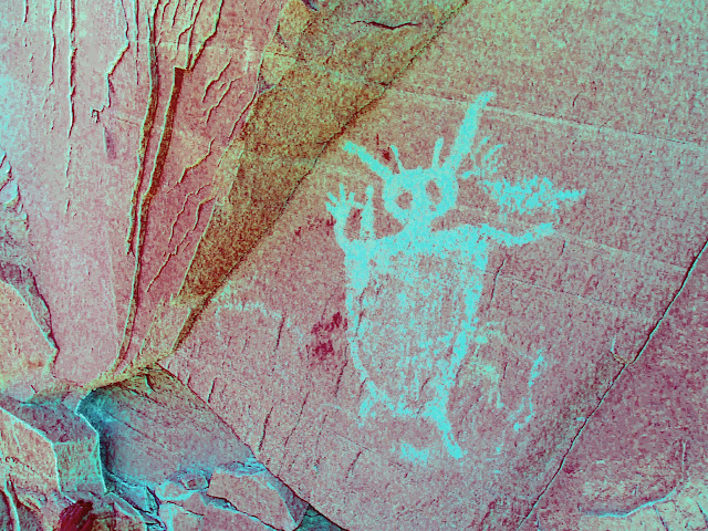
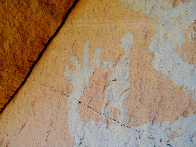
On Saturday morning we drove into Coal Wash, not knowing what to expect. Although the flooding had rearranged the parts of the watercourse where the road crossed it, most of the road was in good shape and easy to drive. Where the North and South Forks of Coal Wash come together I stopped and found a few inscriptions. All the flooding had come out of the North Fork, but it was still easy driving beyond that point. I parked the Jeep and we hiked up a small canyon, scrambling around potholes and climbing dryfalls, searching for the Green Man pictograph. I knew its rough location from a photograph I’d seen, but it still took a lot of looking through binoculars to spot the light green picto that blends in well with the rock face. Along the way I saw what might have once been a nice pictograph panel that was now covered in sediment that ran down the canyon walls. Green Man was a pretty cool dude, with a human figure sitting on one shoulder and an animal on the other, plus perhaps a couple of faint animals on either side.
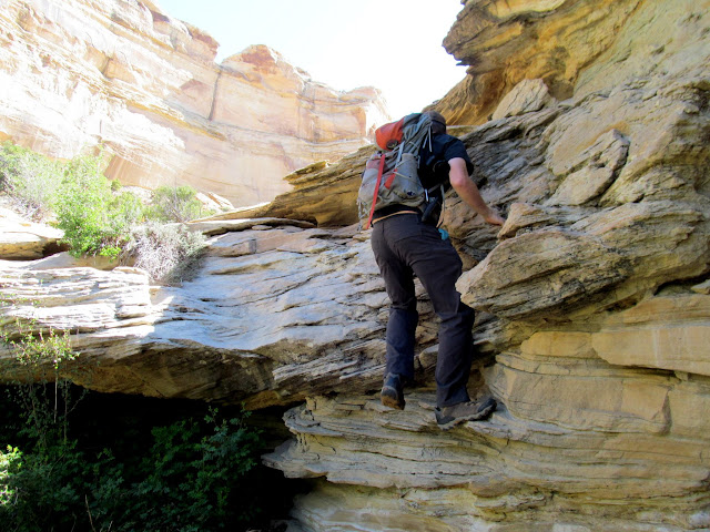
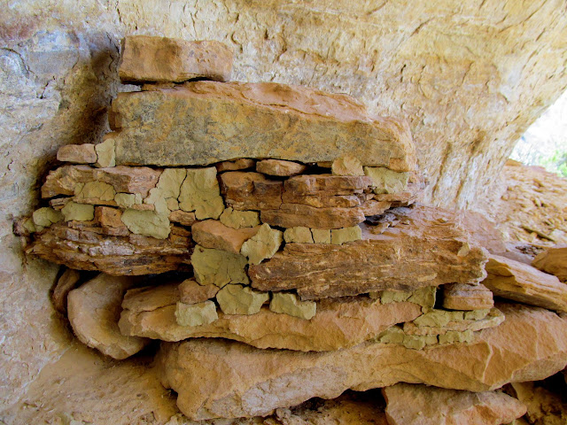
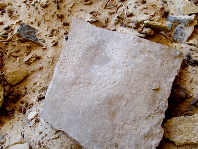
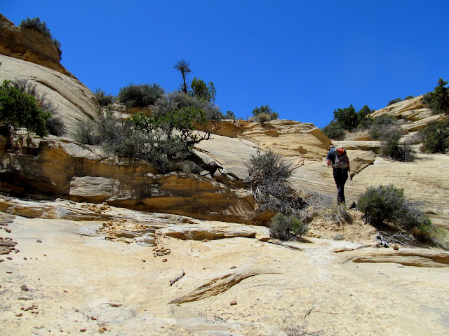
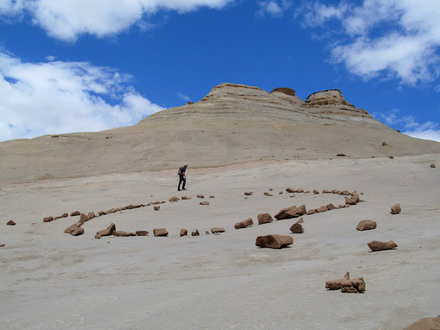
A very short distance down the road from Green Man came the main event. This part of the trip had been two decades in the making. A friend of mine had come into possession of some photographs taken by a cowboy in the late 1990s that showed a geoglyph (rock alignment) and an alcove with a rock shelter built inside. I narrowed down the location based on the photos, and planned a hiking route to get there that would be much shorter than if we were to approach from a different direction. The hiking route would take us up through several layers of cliff bands and I was very uncertain whether it was actually possible to make the ascent. As Chris and I approached the first cliff band it looked more difficult than I’d envisioned, but still not impossible. As we ascended we encountered one spot that gave me a problem, but Chris made the climb first and helped me up. The rest of the route was relatively easy. The shelter inside the alcove consisted of stacked rocks with adobe filling in the gaps. Inside was a broken metate, but not many other signs of occupation.
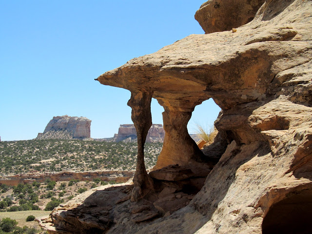
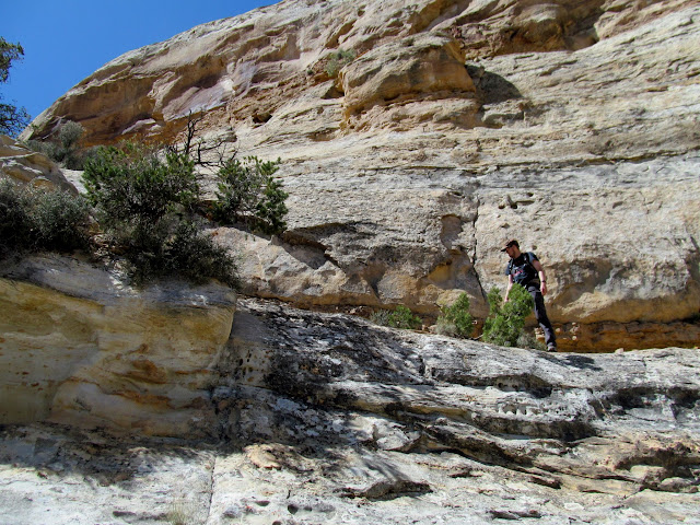

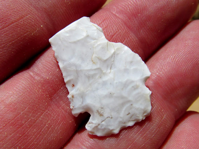
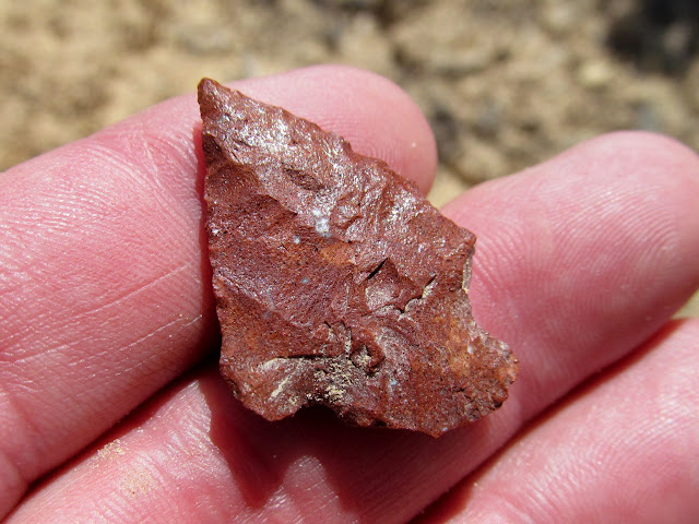
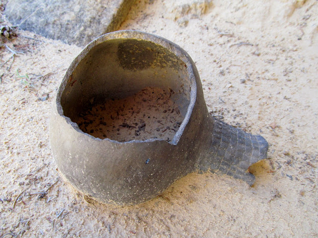
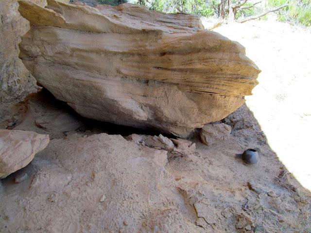
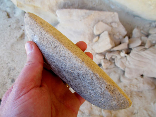
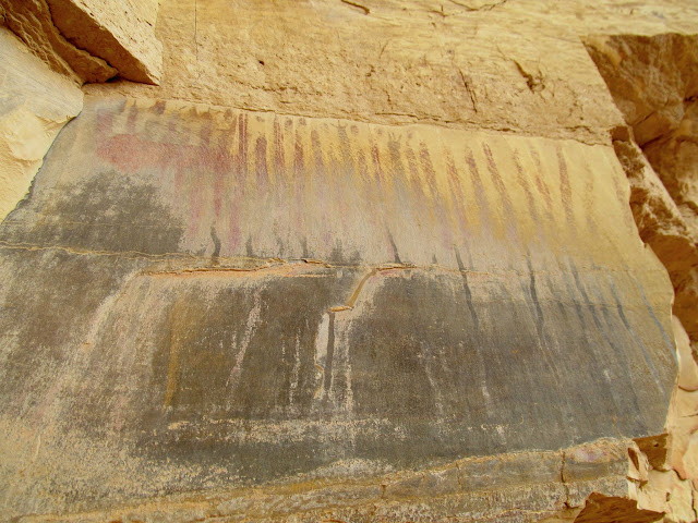
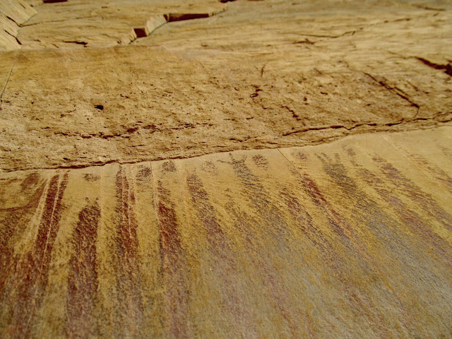
We climbed some more and visited the geoglyph, and nearby I found a couple of broken/incomplete projectile points. While exploring more in the area we found something unexpected. We were in a shallow alcove, and I was taking my time looking at the sandstone walls and the ground for anything interesting. Chris was leaning up against a boulder waiting for me, and as we began to leave he walked around the boulder and started exclaiming something that I didn’t quite understand. At first I though he’d seen a rattlesnake, but I walked around the boulder and saw that he was pointing at a nearly complete Fremont pot! There was a large hole in one side, but it’s still the most complete pot I’ve seen in the wild. We took many photos but didn’t even touch the pot, despite it being somewhat in the open and perhaps deserving of a more sheltered resting place. Just a few feet away was a long, thin mano, but not much else in the way of artifacts. We were so elated with the find, and to me it suddenly felt so mundane to carry on with the rest of our hike. We eventually returned to the Jeep and continued to our last planned stop of the day which was a very nice Fremont pictograph panel that, sadly, much of has been covered in mud washing down from above.


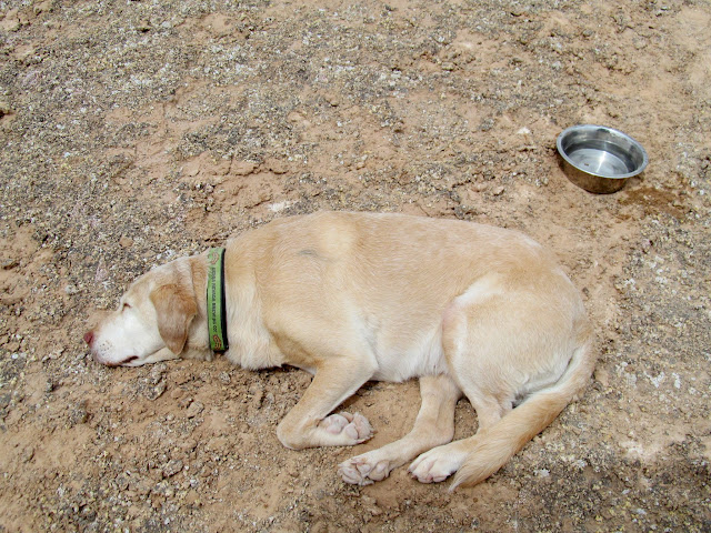
Jana, who had joined Chris and me on a Moab trip two months earlier, was going to meet us that evening. We drove my Jeep back to the ATV staging area and found Jana sitting in the shade of a kiosk drinking a beer, so Chris and I joined her. While we were sitting and talking about our next steps for the evening, a drunk, armed local on an ATV pulled up next to us and struck up a conversation. His truck and trailer were parked a couple hundred feet away, though he showed no inclination toward loading up and going home, and in fact mentioned sleeping it off in his truck before leaving. This guy was the stereotypical drunk, belligerent redneck you’d expect to see in a movie. We sat around for another very interesting 45 minutes, hoping the guy would go to his truck and leave us alone, while we tried not to say or do anything to piss him off. He just wouldn’t stop trying to engage us in conversation, and we listened many stories about his son the rock star, his ex-wife the dog thief, and the visions of “squaws” that he’s had while out exploring the backcountry. He kept trying to force Jana’s dog, Jesse, to drink some soda. We were all too intimidated by his attitude and the revolver holstered on his thigh to call him out or tell him to leave. Eventually we realized he was neither going to leave us alone nor just plain leave, so we very politely excused ourselves and got the fuck out of there. We were now too uncomfortable to camp anywhere close to this dude, so we drove almost all the way back to Ferron and found a place to camp that couldn’t be seen from the road, just in case he did try drunk-driving home that night.
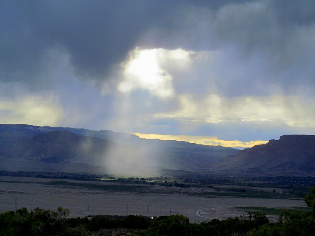
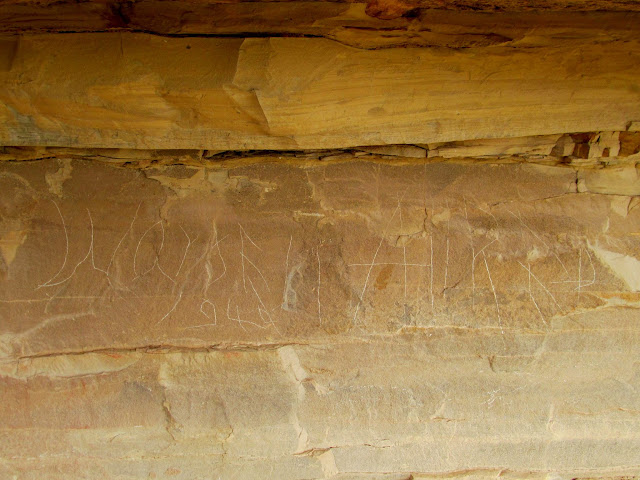
We all slept on our cots under the stars that night. I awoke a couple of times during the night and saw clouds blotting out the stars toward the south, and at around 5AM it began sprinkling. I threw my gear in the Jeep and settled into the driver’s seat to spend the remaining couple of hours of night, and Chris joined me in the passenger seat. Jana smartly just threw the rainfly from her tent over herself and went back to sleep. It never did rain after those initial sprinkles, and I never really got back to sleep. On Sunday morning Chris and I made room in the Jeep for Jana and Jesse, then we all drove back into the WSA for a loop hike in a couple of small canyons. I knew nothing about the first canyon we hiked up, but it looked like a good one to combine into a loop with the second canyon which I knew held some rock art. Immediately after entering the first canyon we found several inscriptions by Royal Allred, all from 1921. Farther up the canyon was some rock art that was unusual but not especially spectacular.
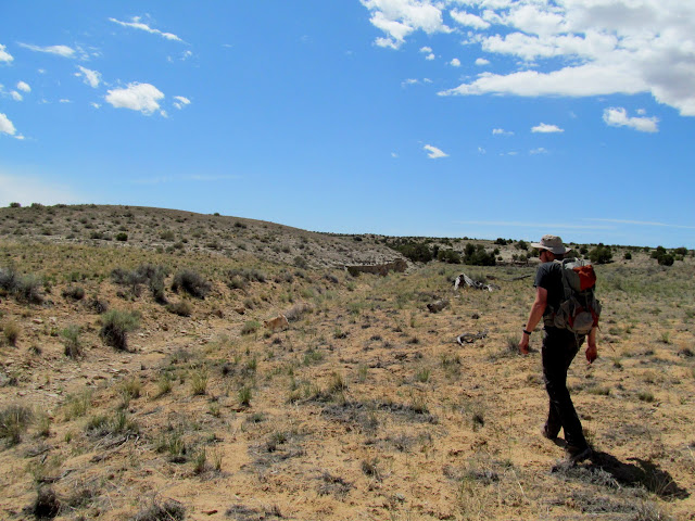

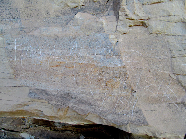
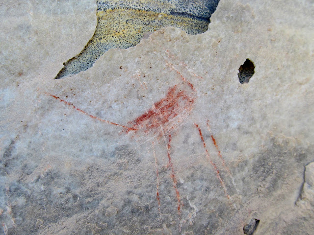
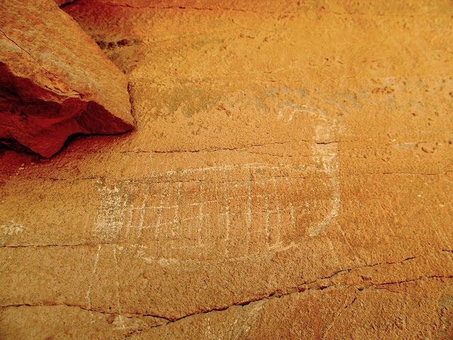
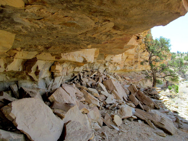
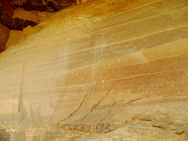

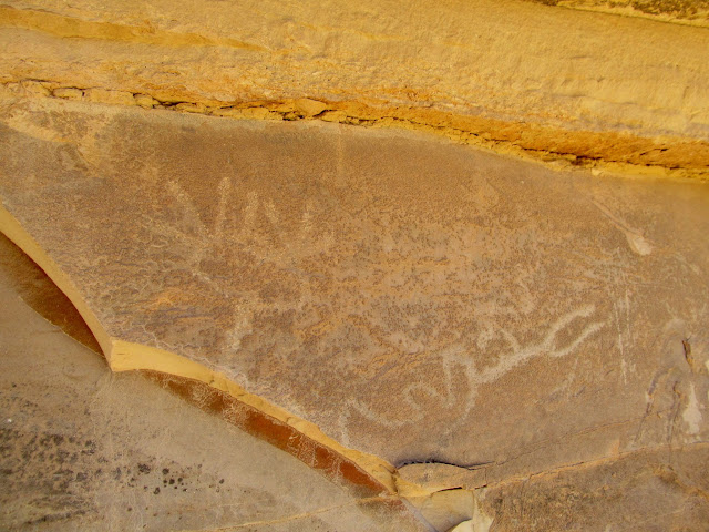
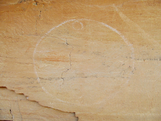
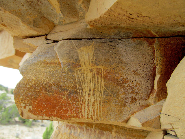
We crossed over into the second canyon and hiked downstream. Dark clouds were building in the distance and I hoped they’d hold off long enough for us to complete the hike. We found more rock art in this canyon, most of which appeared to be Fremont, but there were a few pictographs that defied classification given my limited knowledge. There were a lot of incised glyphs which appear to be quite common in this part of the San Rafael Swell. There were also two Warren Allred inscriptions that were made 51 years apart. Not only did he get around spatially, but also temporally! 😀 Once we were satisfied we’d visited all the rock art we came to see, there was a long-ish hike cross-country and then along the road to get back to the Jeep. The storm clouds had kept their distance but also helped to temper some of the sun’s heat. The weather had been nearly ideal all weekend, and quite mild for late May in the desert.


This is apparently the type of recreation that SUWA wants to reign in, and I can’t say that I understand it one bit. Sure, all of the areas I visited on this trip deserve “protection,” but what form does that take? These sites have been “unprotected” (according to SUWA’s definition) literally forever! Closing roads won’t help to solve a problem that doesn’t actually exist. However, if SUWA is successful in pushing their “protection” on these areas, it would seem that publishing the location of these spots (and many, many others) would be acceptable given their newfound “protection,” no?
Photo Gallery: Wreckin’ the Swell