
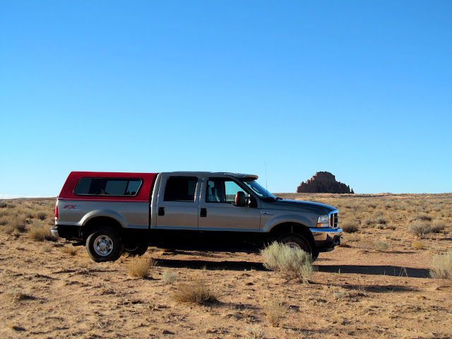
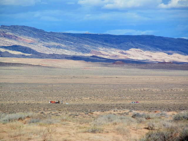
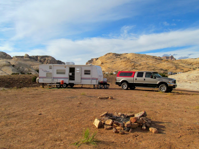
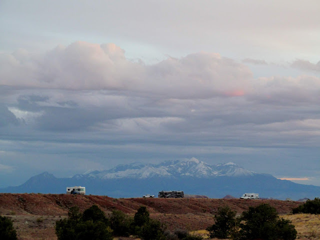
I hosted the 29th semi-annual San Rafael geocaching event this year near the junction of the Temple Mountain and Goblin Valley roads. The turnout was pretty good, with 26 people and six dogs total. I pulled the camp trailer down with Torrey and Boulder on Tuesday evening and found that the camp spot I wanted was filled with water from recent rains, and my second choice was already occupied, so I set up camp in a less-than-ideal spot for a large group. I figured we could cozy up and make it work. Some beautiful and dark clouds rolled in that evening, bringing wind and light rain. I spent the evening in the camp trailer working on a trip report on my laptop. I’m still behind on trip reports–only four more to go (including this one) until I’m caught up!


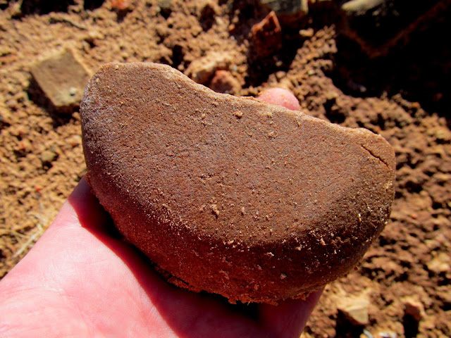
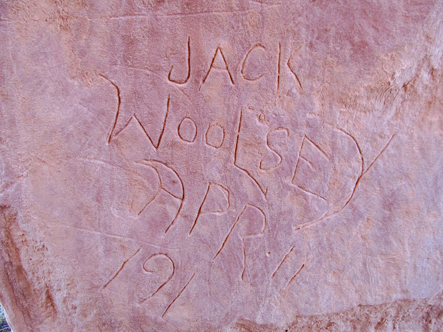
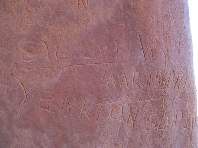
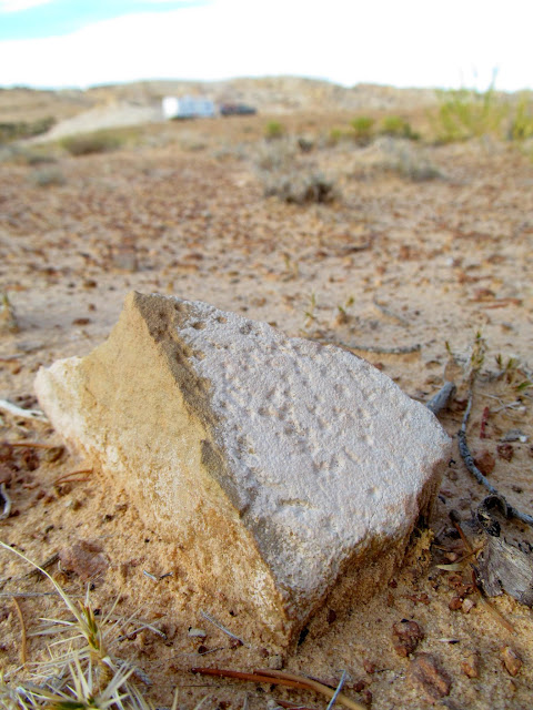
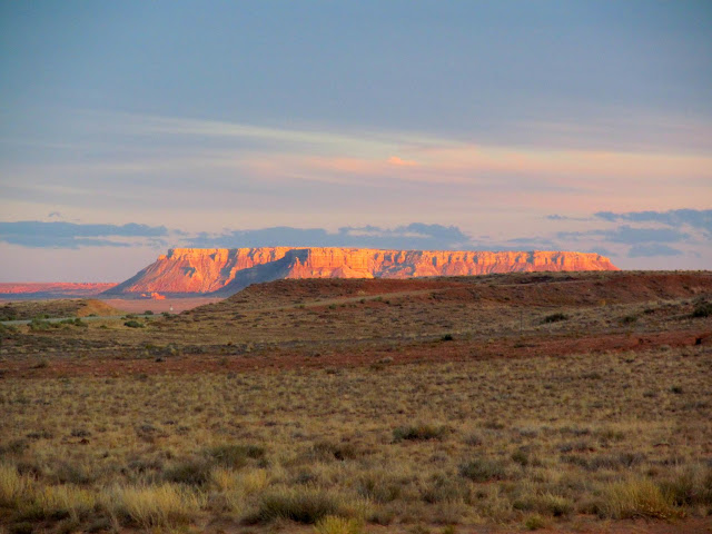
On Wednesday morning I set out to circumnavigate Gilson Buttes. The buttes, comprised mostly of Entrada Sandstone, rise incongruously out of the othwerwise flat San Rafael Desert, and were apparently a draw for travelers across the desert before the modern highway was built. The nearest dirt road would only get me within about a mile of the buttes, so the dogs and I started walking across the flat, sandy desert. Luckily the rain earlier in the week made the sand damp and firm and easy to walk on. Before even reaching Little Gilson Butte I encountered a small mound of sand covered with mano and metate fragments, and I found a pretty nice arrowhead there. On the north end of Little Gilson Butte is a tiny, unnamed butte where I found an inscription, hundreds of potsherds, and dozens of broken metates. Obviously this place was an important place for Native Americans as well.
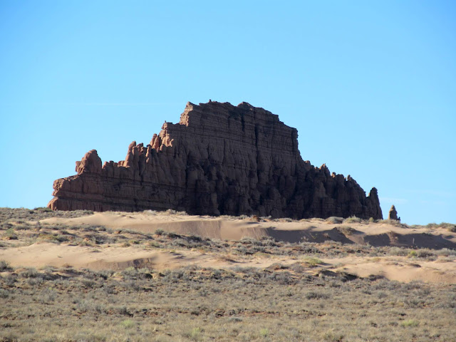
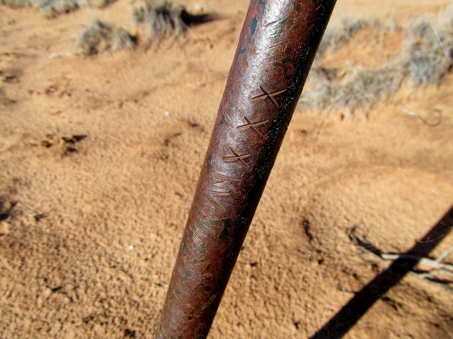



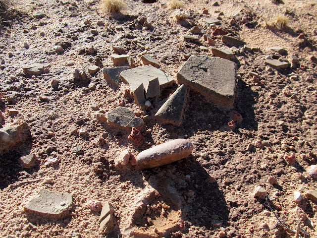

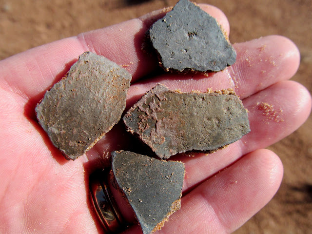
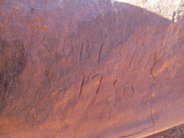
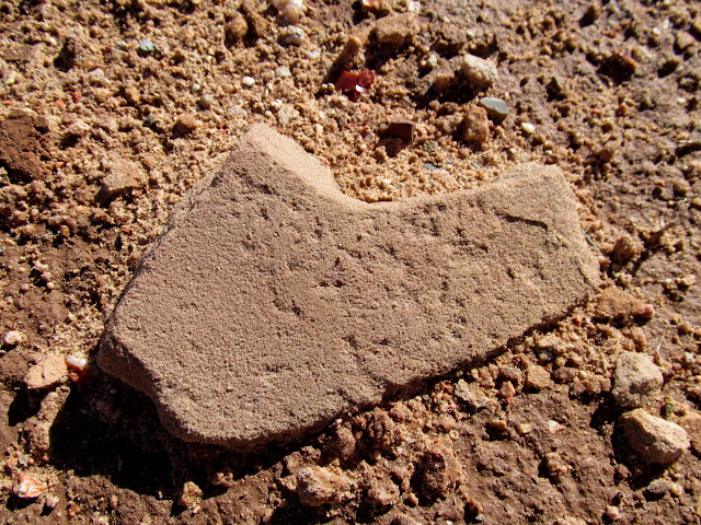
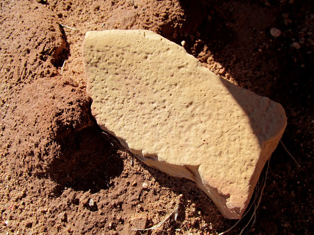
I moved on to Little Gilson Butte and spent way too much time on its east side looking for inscriptions. I’d read about an 1861 inscription somewhere there that is supposedly out of place because there were no known white men in the area at that time. Finally when I got closer to the south end of Little Gilson Butte I began to find many inscriptions and even some petroglyphs. I also found a looter’s screen that had apparently been used to screen dirt excavated from Indian habitation sites. I also found the old inscription that I’d read about, but it turned out to be from 1864.
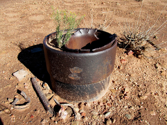
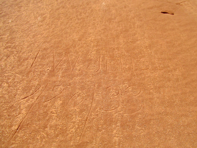
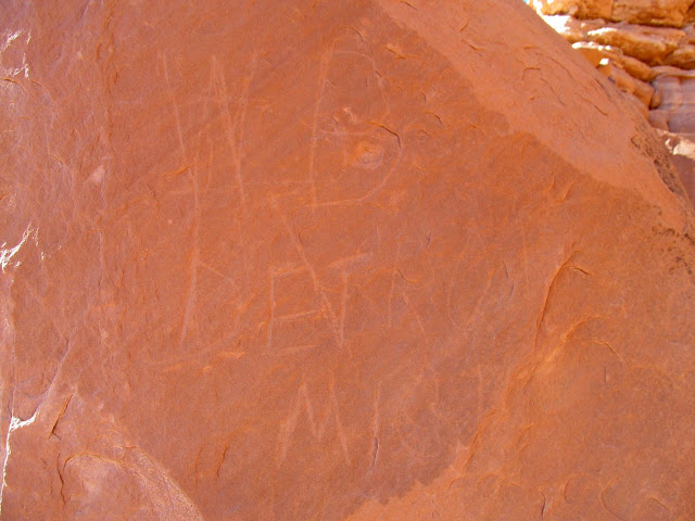
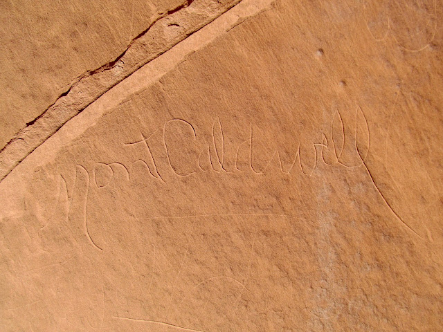
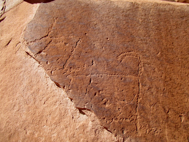

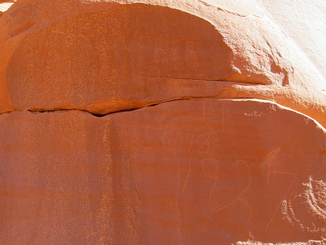


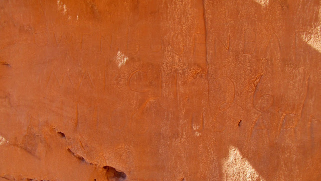
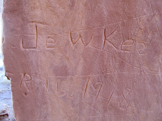
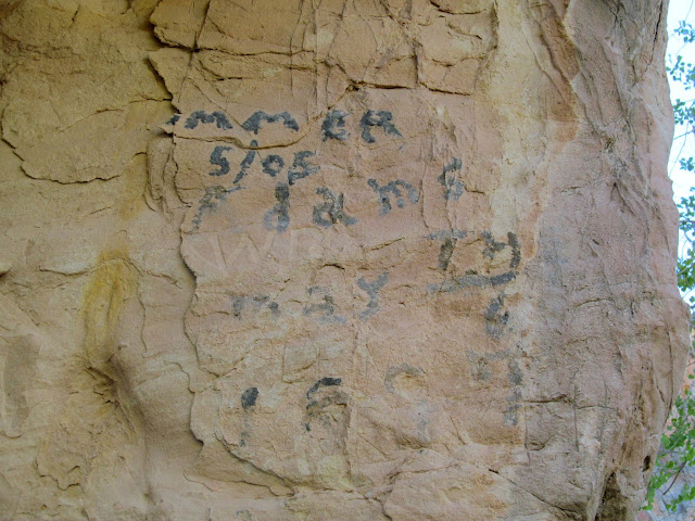
Heading toward the larger Gilson Butte, I encountered a smaller and also unnamed butte. There I found several old inscriptions, including one from Warren Allred from 1904. At that point I’d spent too much time wandering around and wanted to get back to camp for a late lunch, so I headed back and checked out the west side of Little Gilson Butte along the way, but found nothing there.


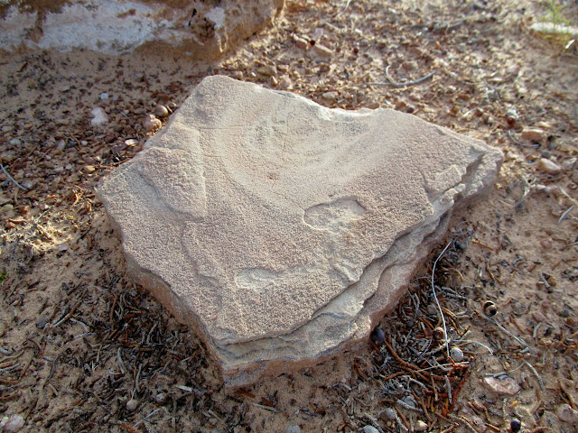
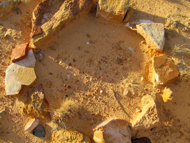
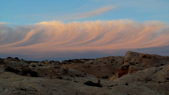
I got back to camp and found that my neighbors had vacated their much better camp spot, so I hurriedly tore down camp and moved several hundred feet to the better spot. After dinner that evening I took the dogs for a walk on a flat bench across South Temple Wash. There I found dozens of metate fragments, including an old firepit that incorporated at least three of them. Sunset was nice that evening with some more interesting clouds, but it was beginning to clear up for what I’d hoped would be nice weather for the weekend.
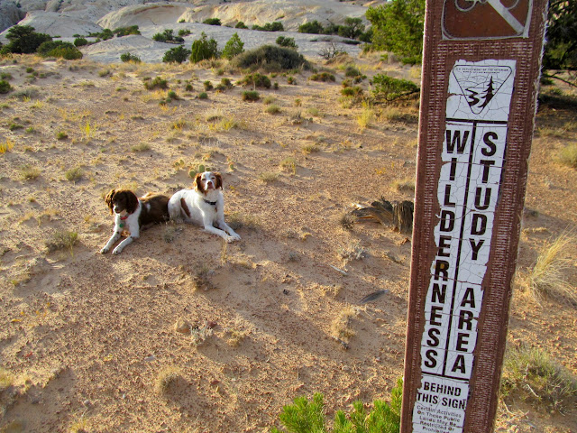
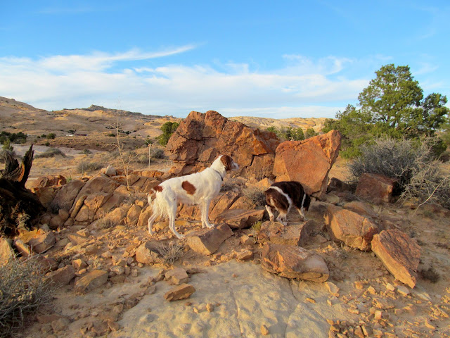
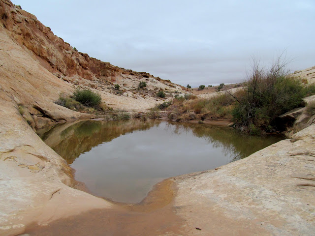
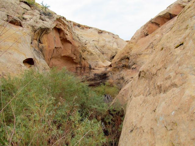
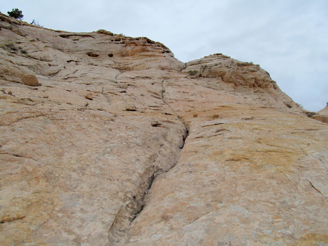
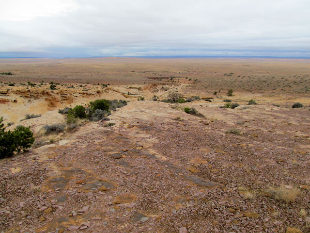
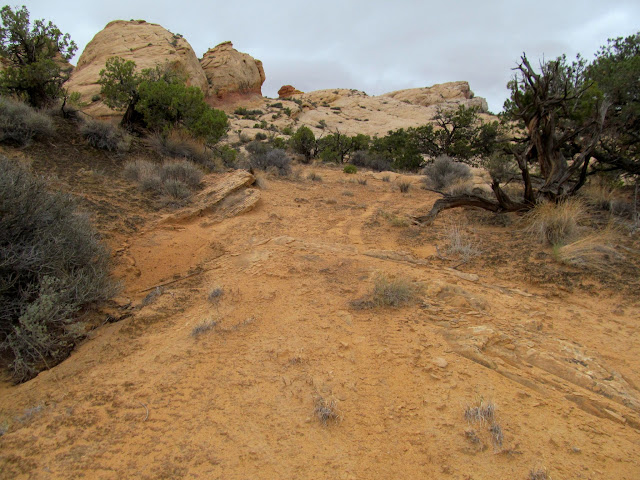
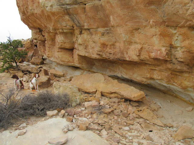
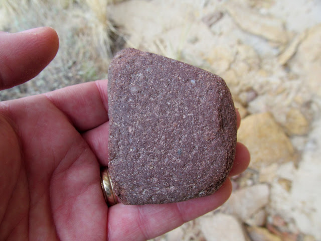
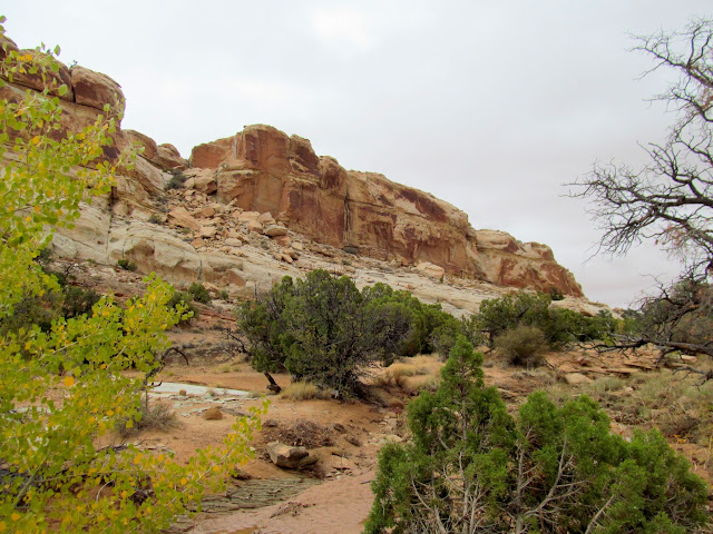
On Thursday I explored a canyon in the San Rafael Reef that, years earlier, I’d marked in Google Earth for exploration. It was one of the few major canyons in the nearby Reef that I hadn’t hiked. The watercourse and potholes were very full of water, which made hiking with the dogs easier. Shortly after encountering the Navajo Sandstone I reached a series of potholes and dryfalls that weren’t passable on foot, so I climbed out of the canyon and then dropped back in above them. I reached the cliffs I was hoping to explore but didn’t find any rock art there, though I did find a small habitation site where I saw a broken mano and a tiny arrowhead.






I hiked back down to the truck just as a storm rolled in. The rain followed me east but never really hit me. I found an old mining claim dating to 1968 before I got back to the truck. Back at camp that evening my wife, her mom, and my sister and her family all pulled in to camp together, and several others arrived as well. Let the party begin!
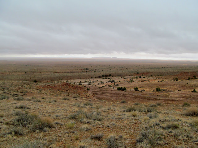
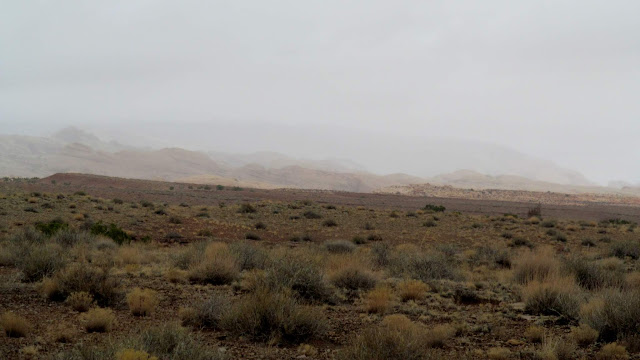
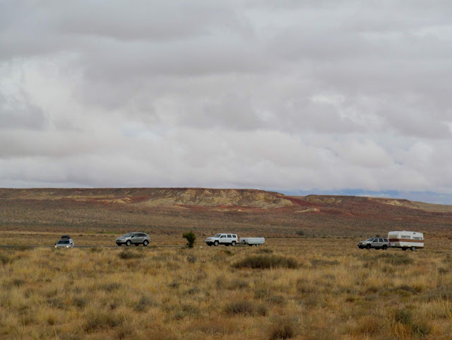
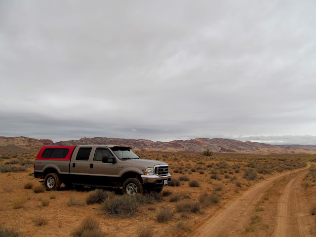
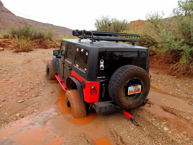
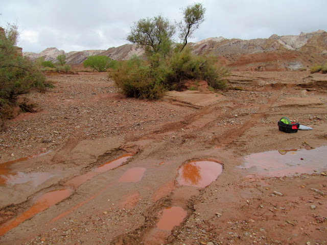
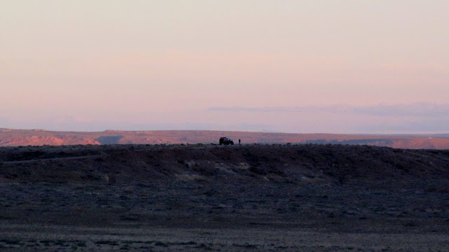
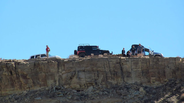
Kenny, Chris, and I decided to take Kenny’s Jeep past Little Wild Horse Canyon toward the Muddy Creek crossing on Friday morning. The Little Wild Horse trailhead was as empty as I’d seen it in recent years, with only three or four vehicles parked there. From the tracks in the mud, it appeared that only one ATV and one UTV had driven beyond that point in the past few days, and their tracks only went west from there (there were no return tracks). The road normally follows a wash and was passable in a 2WD Ford F-250 back in 2014, but this year it had been badly washed out and was muddy, rough, and rocky. About 1.5 miles past the Little Wild Horse trailhead we crossed the watercourse and sunk in deep quicksand! Kenny’s Jeep sunk to its rear axle in the sand and we were deeply mired. Luckily there was a huge boulder ahead which we were able to use to winch him out, but we gave up going any farther after that. We returned to camp and everyone drew up a plan B. We hiked for a bit around camp and found “the Metate” that I discovered several years ago and have keep hidden since then, checking up on it each year. It was still there and in good shape.

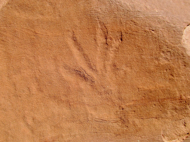
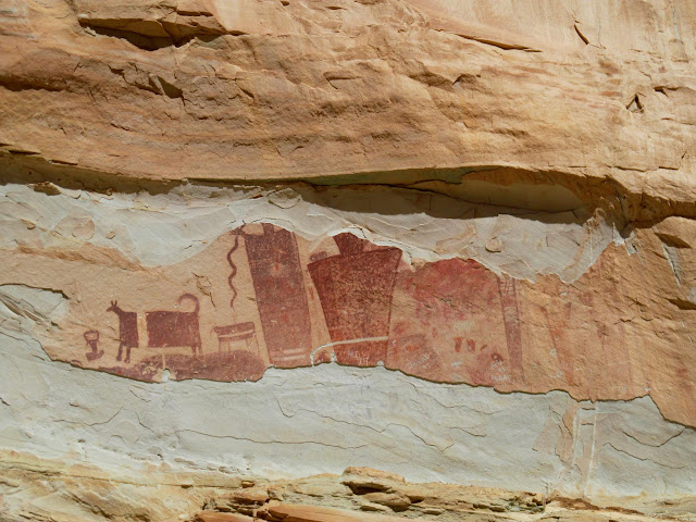
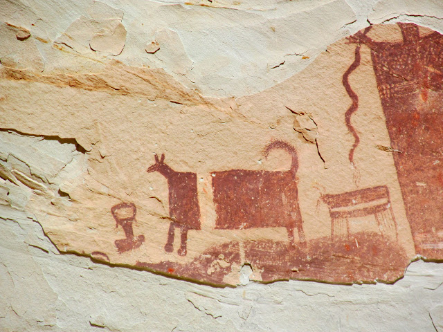
That afternoon Chris and I went for a drive to check out some pictographs and inscriptions in Iron Wash. The handprint pictographs there were kid-sized, which makes me wonder if all the rock art there was made by younger Indians. We enjoyed a nice sunset at camp that evening, and then blew up a can of whole tomatoes in the fire. 🙂
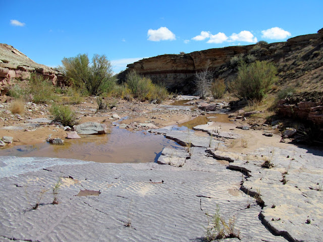
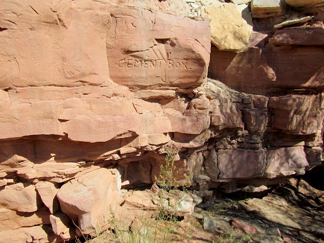
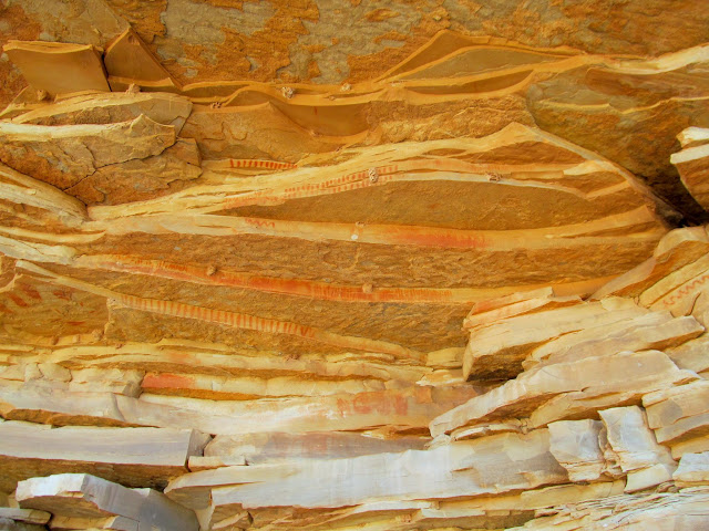
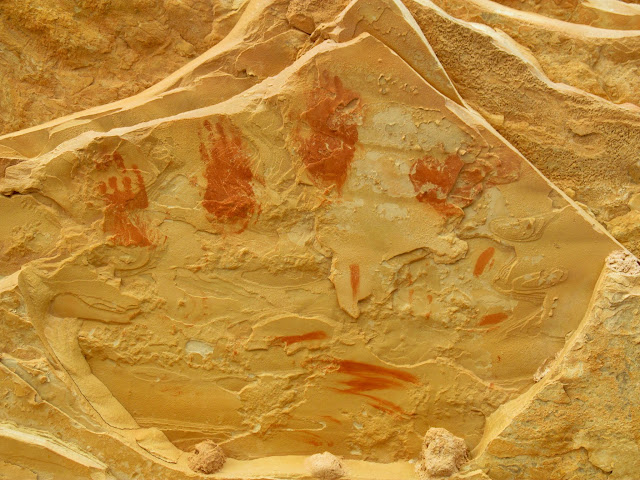
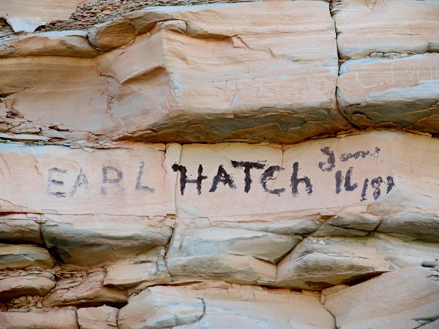
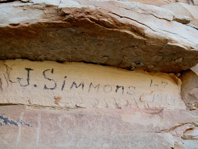


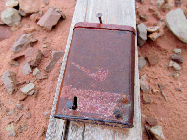
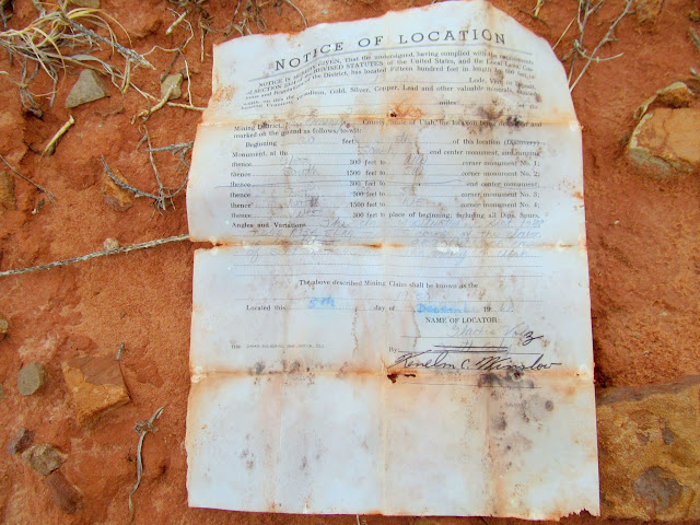
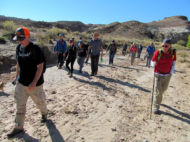
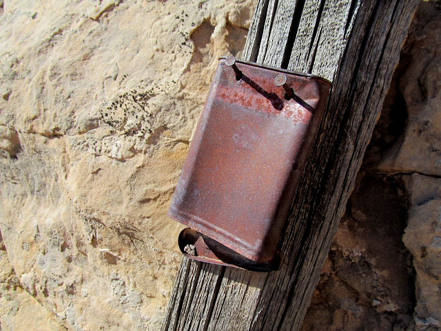
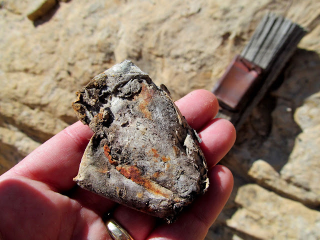
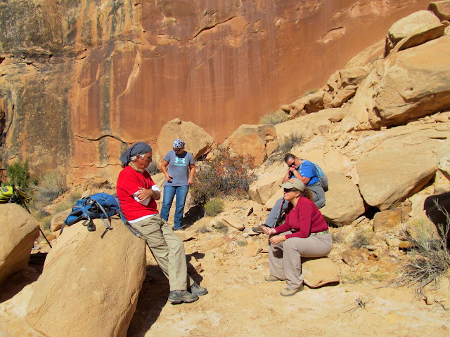
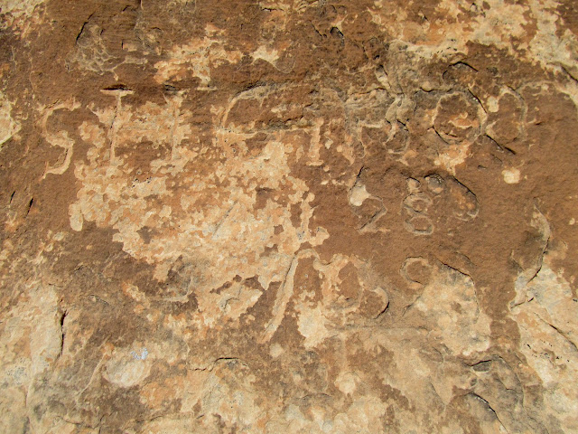
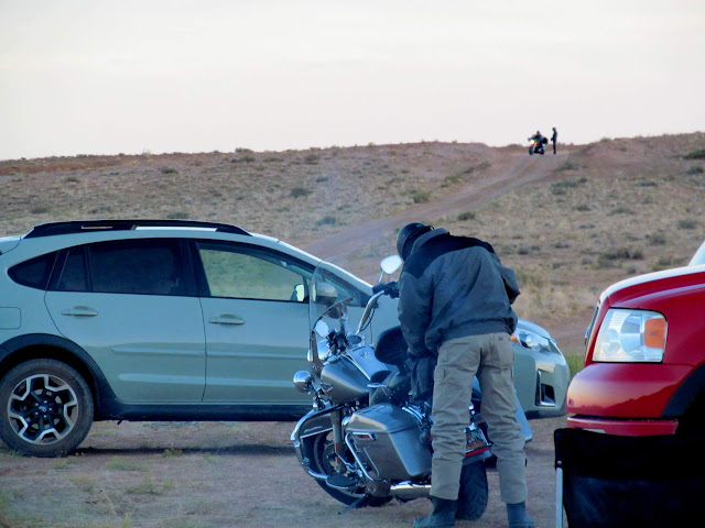
On Saturday I took a group to see a petroglyph panel in Ernie Canyon. On the way we spotted a mining claim that I hadn’t noticed the last time I was there, though the claim papers were too brittle to unfold. We all enjoyed the rock art, then headed back toward our vehicles. Jim and I split off from the group to look for an inscription in Iron Wash, and although we didn’t find the particular writing I was hoping to find, Jim spotted a very significant inscription by Sam Gilson that I didn’t know existed! Later in the day I took Bradley out for some driving practice and we visited the pictographs in South Temple Wash. We had a potluck dinner that evening, during which some motorcyclists showed up looking for some gas–one of their group had run out. Later that night a few of us went for a walk taking night photos.


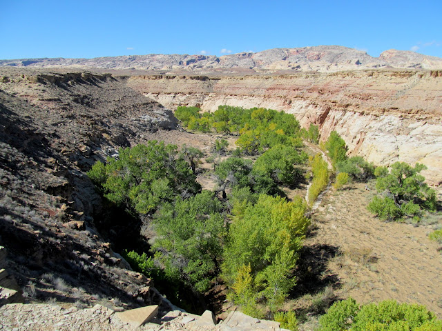

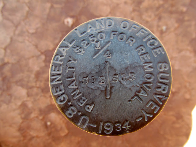
Sunday was the day when everyone headed home. I had a much shorter drive home so I stuck around and went for another couple of short hikes. First I returned to Iron Wash to look for that inscription that I’d missed on Saturday. I found a couple of inscriptions but not the Homer Hite writing I was looking for. Next I hiked out to the “Swell” benchmark that was monumented in 1937. The hike and the views were nothing special, but it was nice to check another benchmark off my list. I returned to camp and said farewell to my family, who all drove home before I did since we’d all arrived in separate vehicles.. I finished packing up camp and then headed home. I was first to arrive and last to leave, which is the way I like it, but I hate saying farewell to all my friends, many of whom I won’t see for another six months.
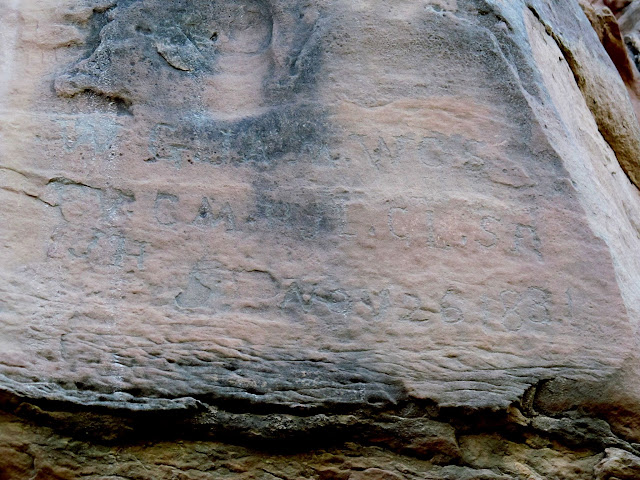
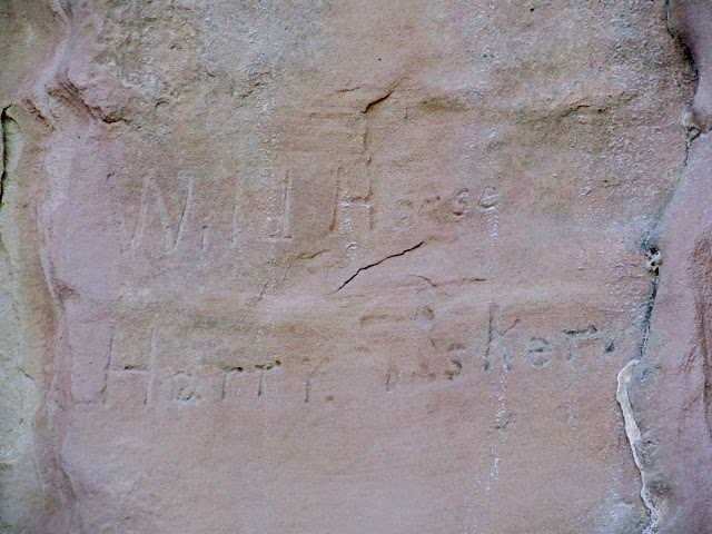


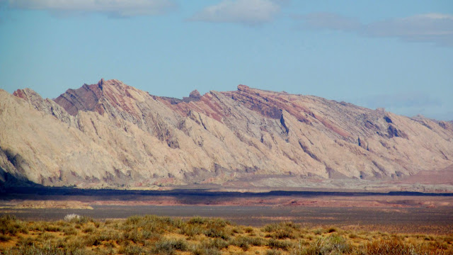
Photo Gallery: San Rafael Fall 2018