
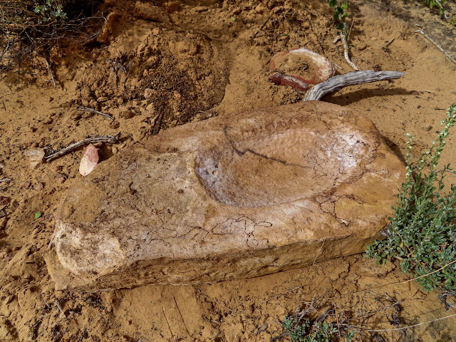
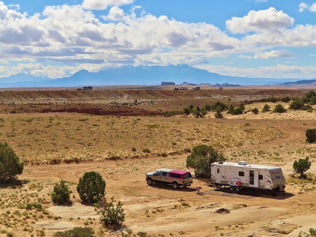
By autumn 2021 I still wasn’t ready to host my usual public geocaching event, but I invited a few close friends to join my wife and me at our usual camp spot for the weekend. Only four others were able to make it, so we had six people and five dogs. Traci and I arrived on Tuesday and for the first couple of days our only outings were to walk the dogs around the area, and visiting the metate I’d found many years ago to make sure it was still there.
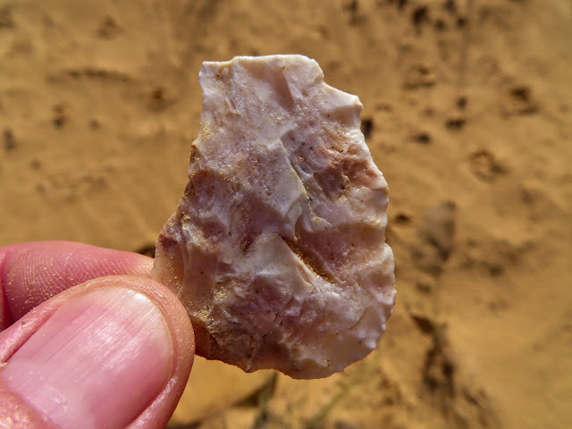
Broken point
The Metate
Camp on Wednesday
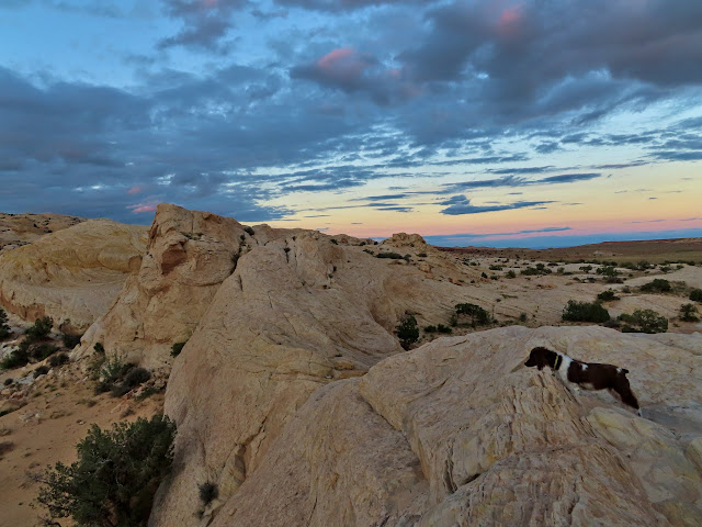
Sunset
Boulder on the hill above camp
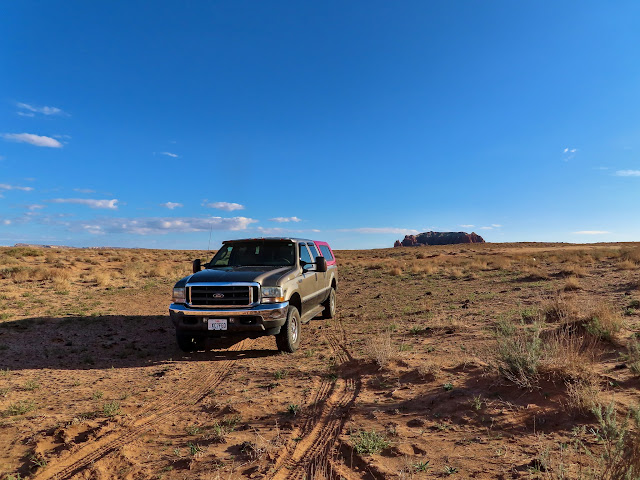
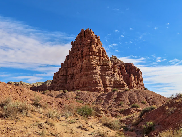
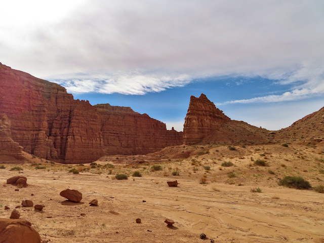
On Thursday I left Traci at camp with the dogs and set out to finish something I’d started three years earlier. In 2018 I hiked from the north to Little Gilson Butte and a small sandstone spire between there and Gilson Butte, but at nearly eight miles round trip through deep sand that was enough for one day. This time I parked on the Molly’s Castle road and hiked north to complete the circumnavigation of Gilson Butte. On that earlier hike I’d seen dozens of inscriptions, many potsherds, lithic flakes, and broken metates, so I expected Gilson Butte to have more of the same. I actually found nothing there. Not a single writing, nothing on the ground (except one mylar balloon). Zip. I couldn’t believe it but I still had a good six mile hike with great scenery.
Parked just off the Molly’s Castle road
My first up-close view of Gilson Butte
Gilson Butte
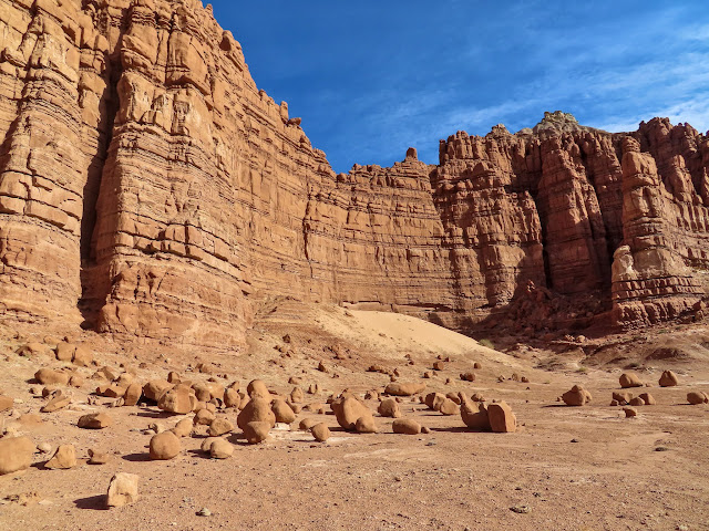
Gilson Butte
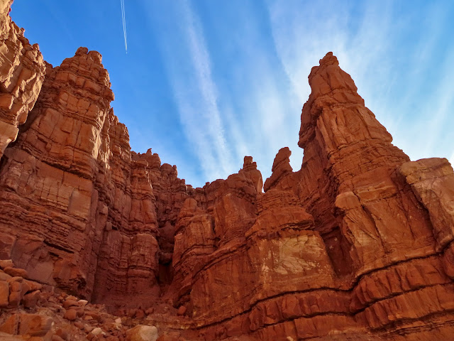
View toward Boulder Mountain
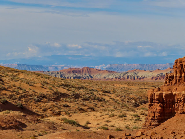
Gilson Butte
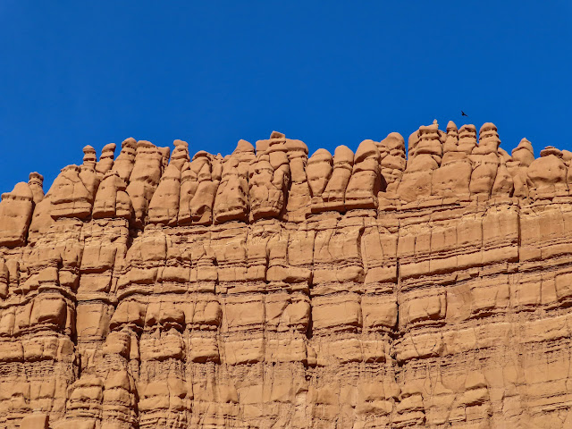
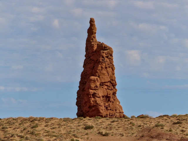
Some spires and Little Gilson Butte
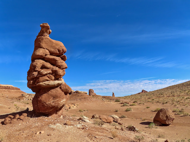
Goblin head
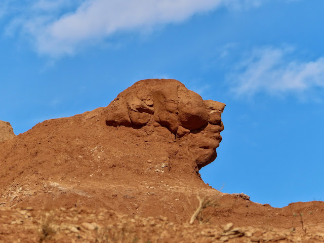
Little Gilson Butte
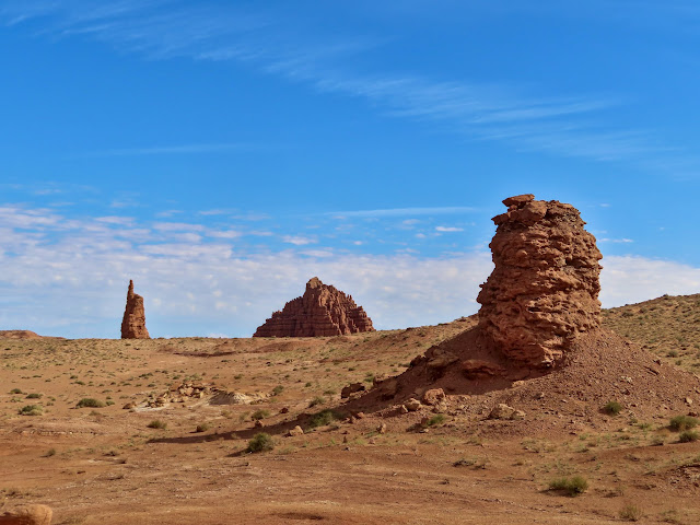
Middle Gilson Butte
Rounding the north end of Gilson Butte
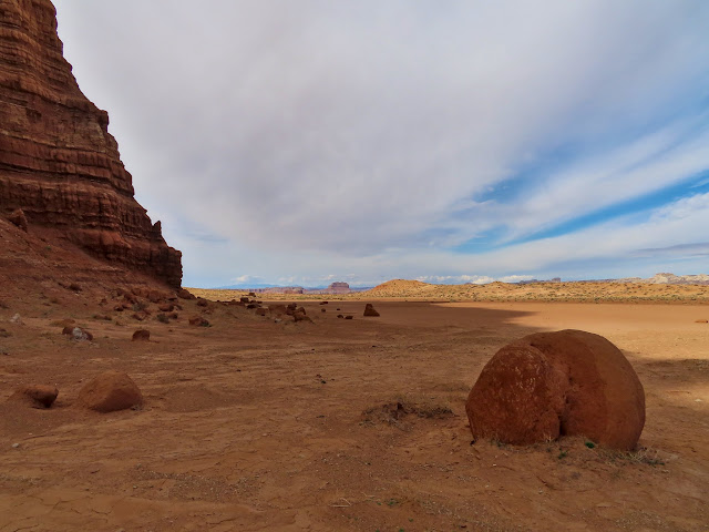
Wild Horse Butte
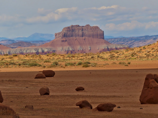
Gilson Butte
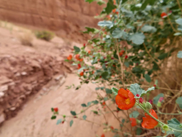
Globe Mallow
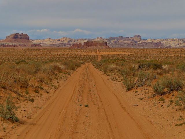
Road to Molly’s Castle
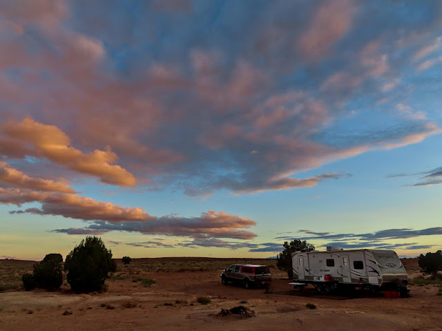
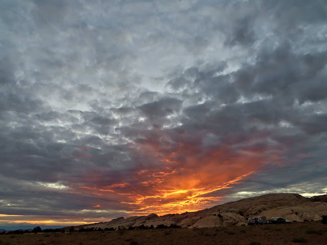
There was a gorgeous sunset that evening. Ken and Jan showed up while I was out hiking, and Chris and Dollie arrived the next day.
Thursday’s sunset
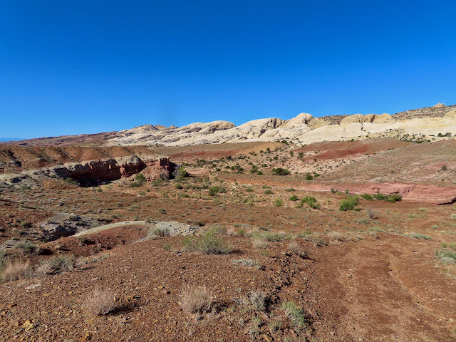
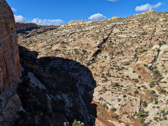
I had a hike planned for Saturday that was a little too strenuous for Ken and Jan so only Chris and Dollie joined me. We drove a short distance from camp to cut a couple miles off the round trip, then hiked to Cow Tanks. It was an easy walk to that point, but I wanted to get to the top of the San Rafael Reef and peer down into Wild Horse Creek. First we went up a short, narrow canyon, and then left the canyon bottom and scrambled up a zig-zaggy route to the top. It was cold and windy there so I snapped a quick photo looking into Wild Horse Creek and then we descended back to the truck and then to camp, having hiked about 4.5 miles total.
View toward Cow Tanks
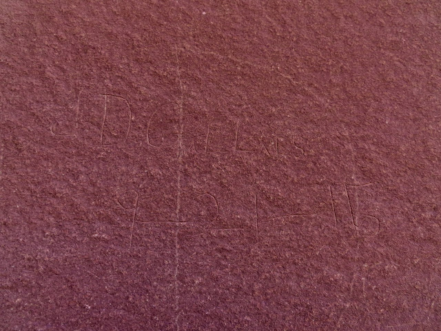
J.D. Gillies, 9-21-1915
Wild Horse Creek
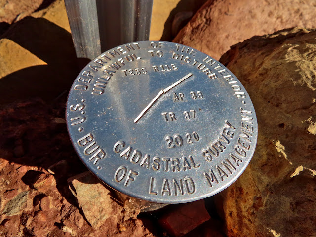
2020 BLM survey marker
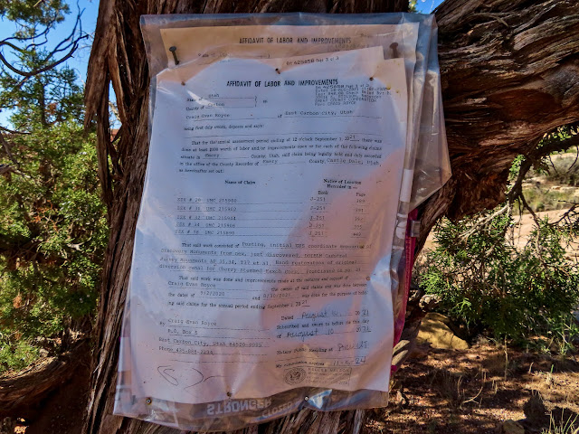
Mining claim nailed to a tree
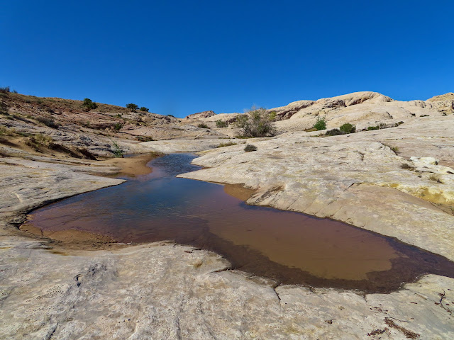
Cow Tanks
Entering the canyon above Cow Tanks
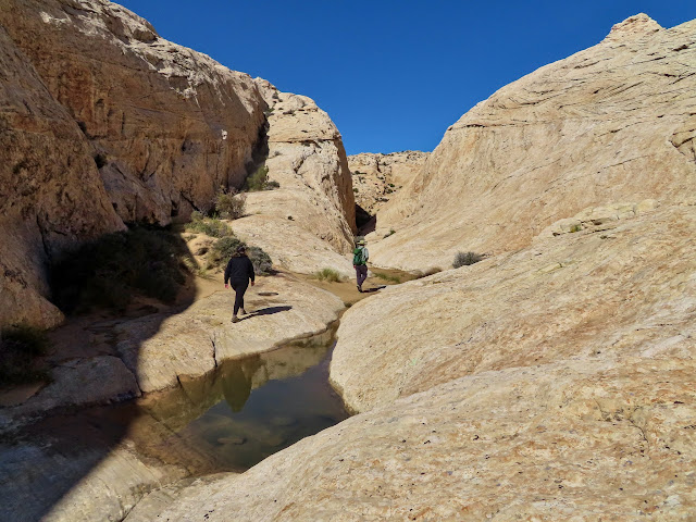
Hiking farther up the San Rafael Reef
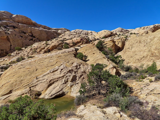
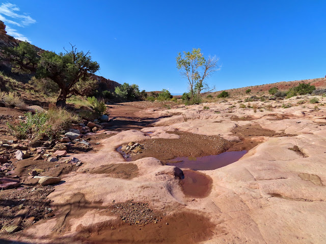
Pools in the Reef
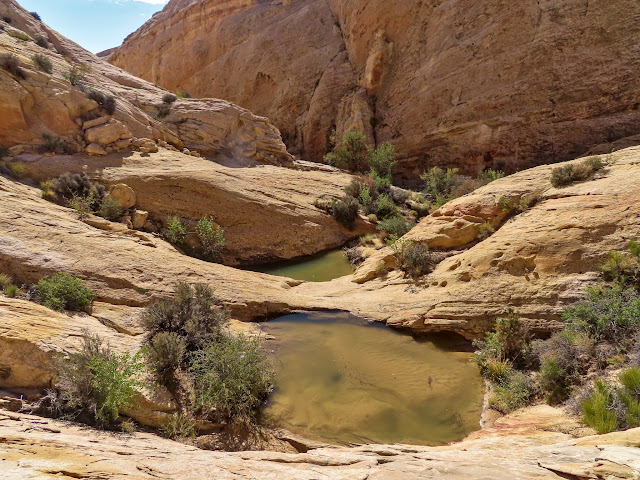
View down the canyon
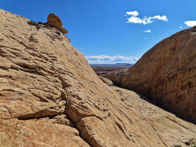
Flat Top and Gilson Butte
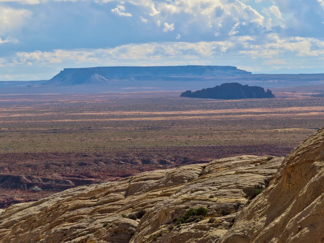
Above Wild Horse Creek
The rest of the weekend we spent relaxing at camp. It was a nice change of pace, having only a few friends there and only doing a couple of easier hikes.
Photo Gallery: Gilson Butte and Cow Tanks