
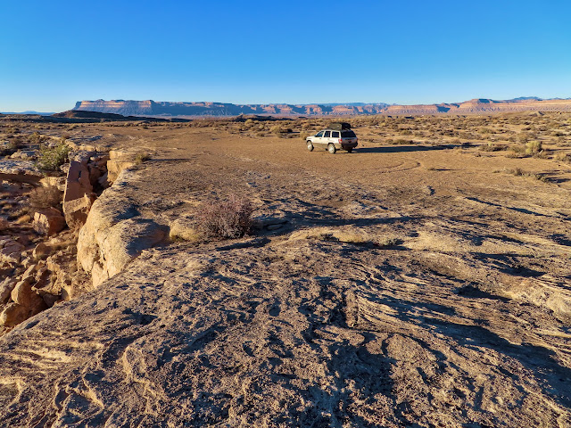
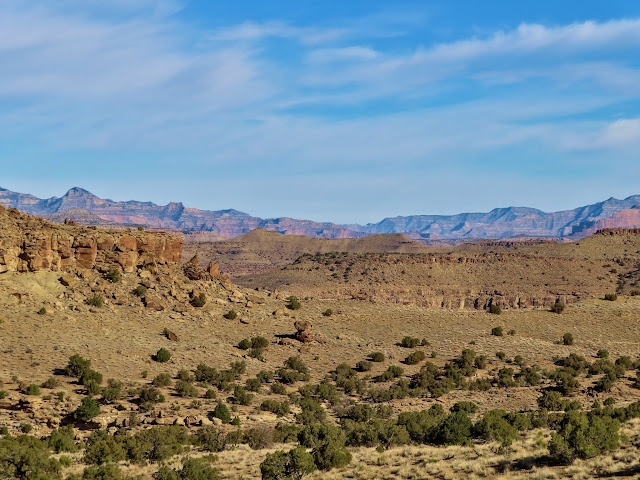
All year before this point I hadn’t been out in the backcountry on a solo trip. The previous week I lost my sister to COVID (more of a self-inflicted illness considering that she was very anti-vax) and I really wanted to get away from everyone and everything. What better place to lose oneself than the Book Cliffs? I’d learned about this trail a few years earlier and even stopped to scan it from below with binoculars in 2018 the day before I hiked the very similar Farrer Trail. I had tried a few times over the past few years to get some friends to come on this hike with me (actually a longer through-hike with a shuttle) but either our timing or the weather never worked out. I set out alone on Friday, checking out part of the Utah Launch Complex that I’d never seen before finding a place to camp on BLM land above Little Grand Wash.
Jeep silo

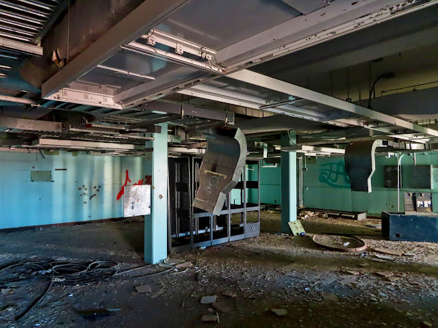
Inside a building at the Utah Launch Complex
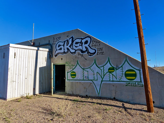
New Area 51
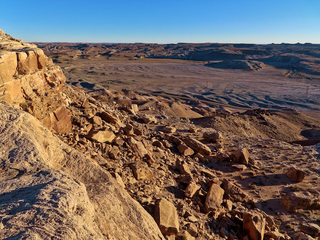
Above Little Grand Wash
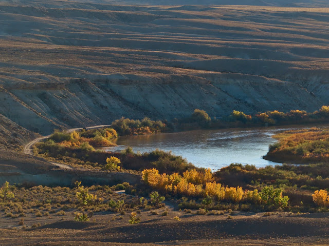
A bend in the Green River
My camp spot
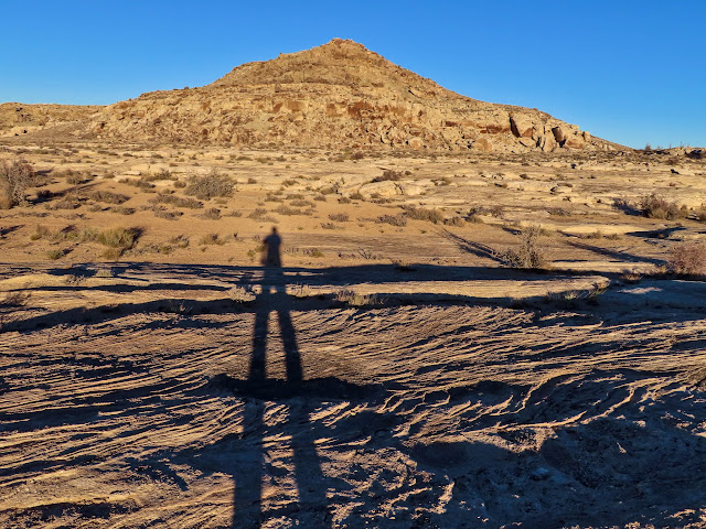
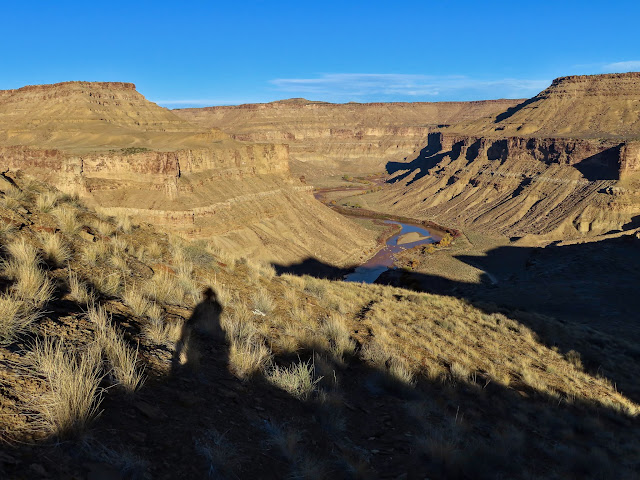
My shadow
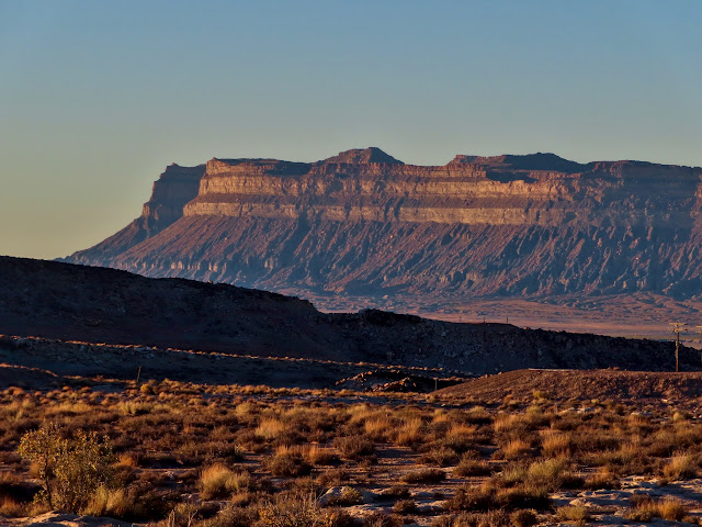
Book Cliffs
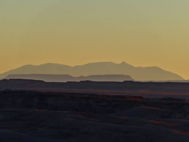
Henry Mountains
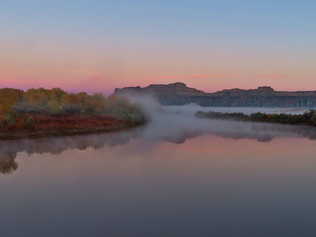
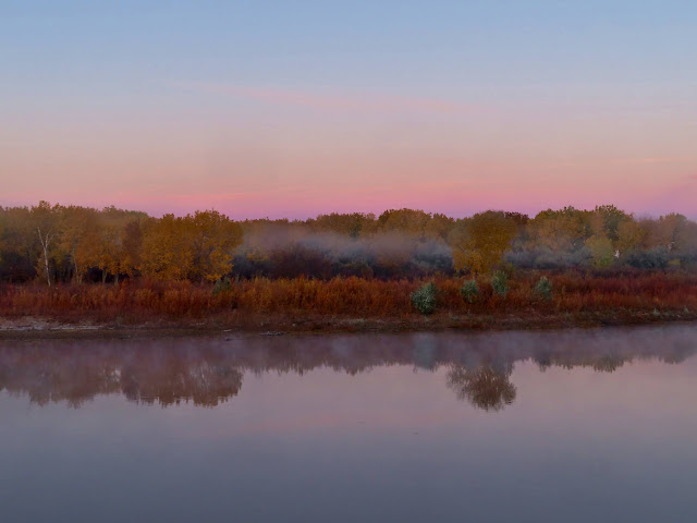
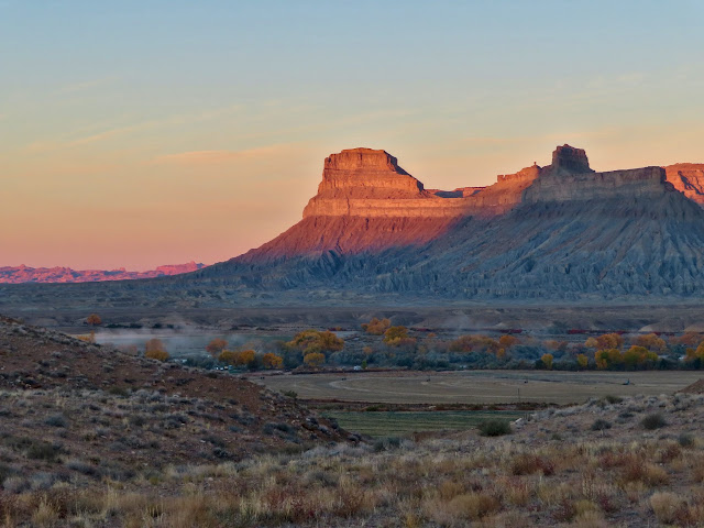
I was awake before sunrise on Saturday and had only a relatively short drive through Green River and into Gray Canyon before starting the hike. During the drive I couldn’t help but stop a couple of times to photograph some beautiful scenes along the river. First it was for some fog hovering over the river, and then the morning light hitting the Book Cliffs to the west.
Fog on the Green River
Muted fall colors
Sunrise on the Book Cliffs
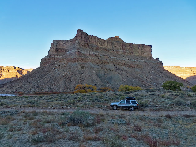
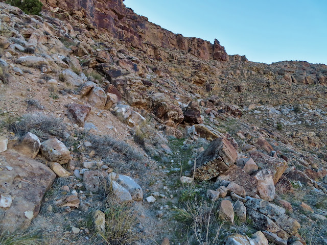
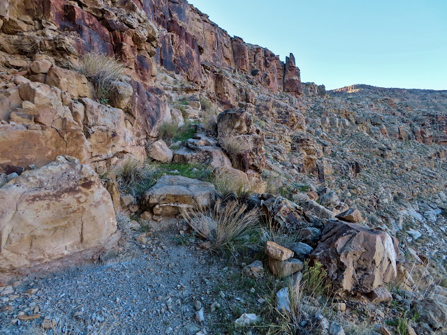
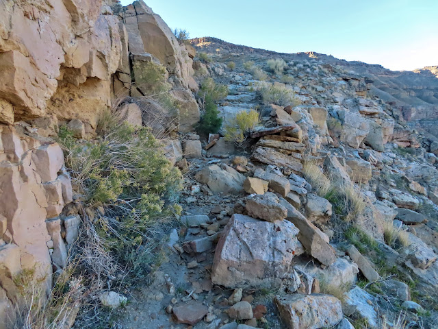
I parked where I would begin my hike and ate a hasty breakfast, then hit the trail at about 8:20 AM. It immediately began climbing steeply toward what looked like an improbable route through a cliff band. As I neared the first cliff band the trail construction became more clear, with built-up steps and walls to keep livestock on the trail.
Jeep parked on the road
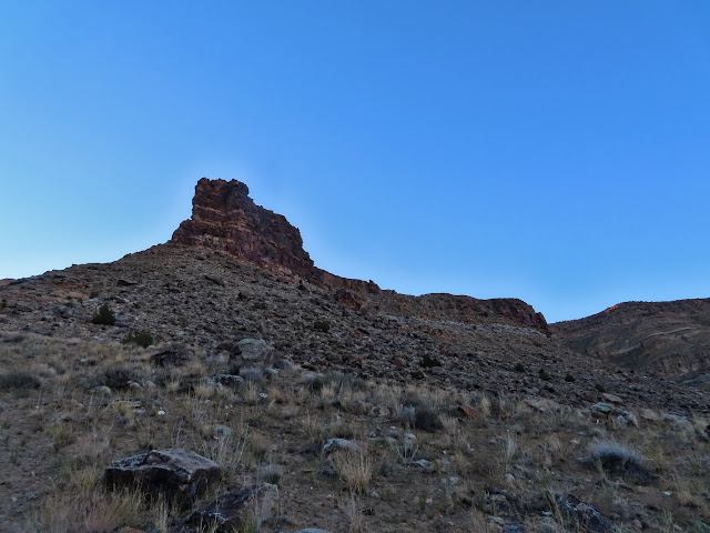
The route ahead
Trail getting rough
Big steps
Stair-steppy trail
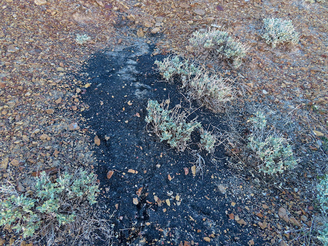
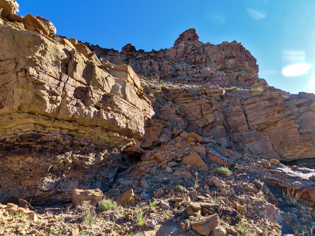
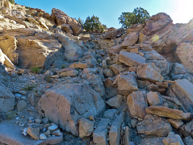
Above the first cliff band I’d gained 600 feet of elevation and still had 1,400′ left to go. I continued climbing and passed through a couple more levels of cliffs. Along the way I encoutered a coal seam and eventually broke into the sunlight. In a couple of places the trail was nonexistent and I had to scramble up some rocky ledges to continue.
View from above the first cliff band
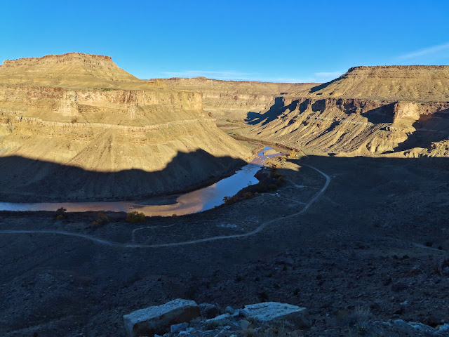
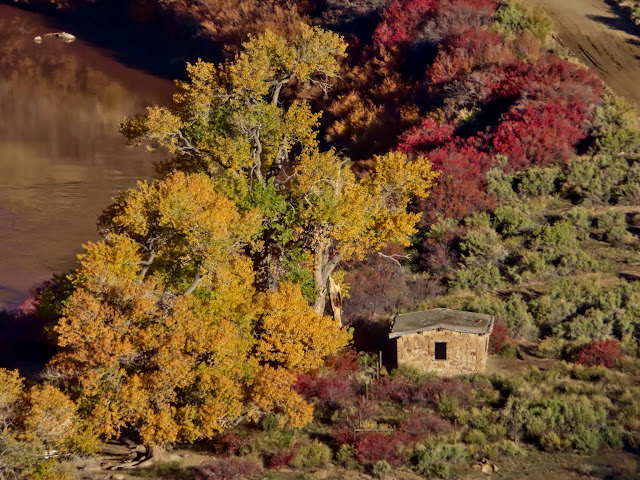
Stone cabin and yellow cottonwoods
Trail downstream
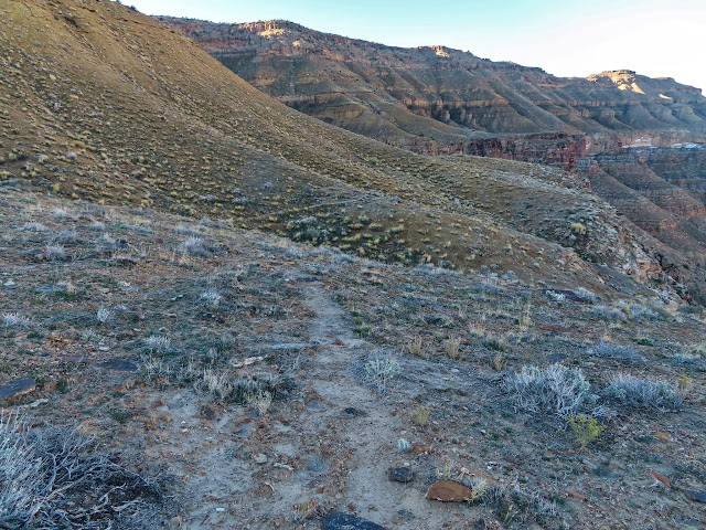
View toward the next cliff band
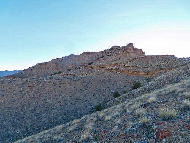
View up the Green
Coal outcropping
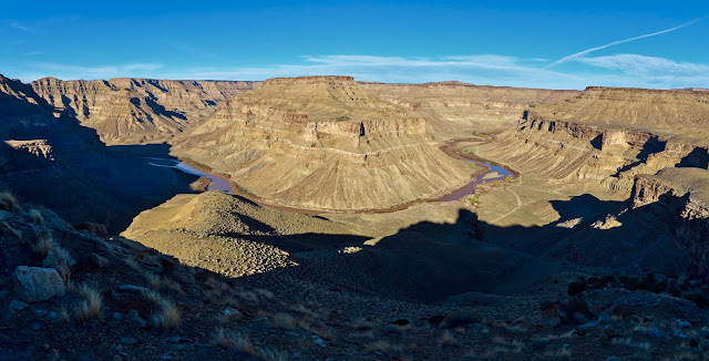
Green River panorama
Rocky chute to climb
What trail?
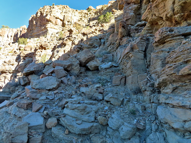
More rough stuff
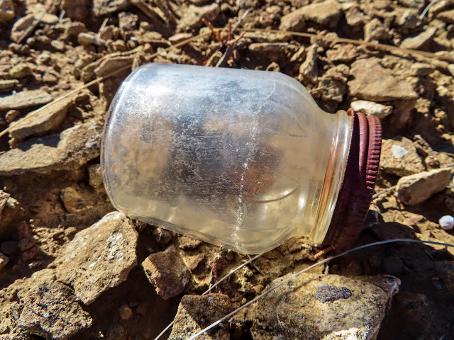
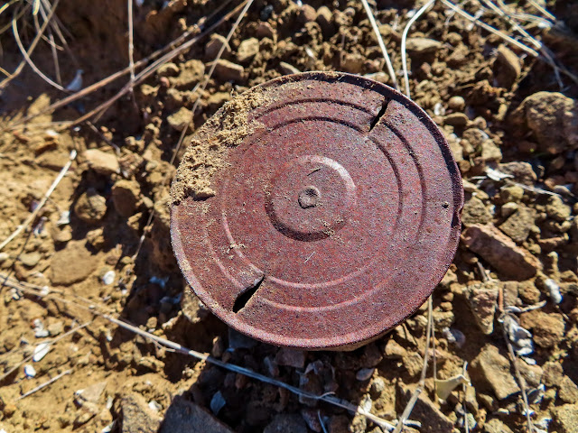
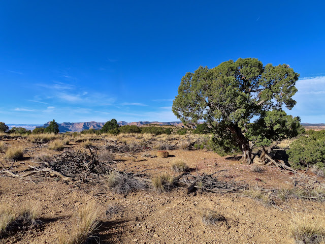
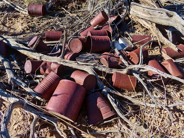
As I neared a small brush corral that I’d noticed in Google Earth I began to see bottles and cans littering the ground. At the corral itself there were piles of rusty cans and some jars with presumably bits of food still inside.
Top of the second cliff band
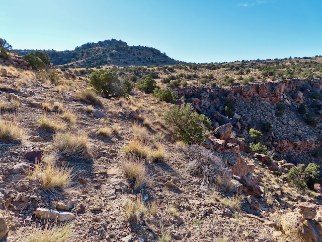
View down the Green

Old jar
Old can
View toward upper Gray Canyon
Small brush corral
Discarded cans
Yum

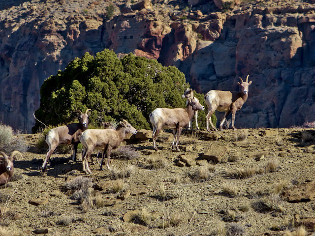
I went a little bit out of my way toward the edge of the mesa for a peek down into a canyon and had nice views out into the desert to the southwest. As I climbed further I saw a large herd of bighorn sheep.
View to the mouth of Gray Canyon
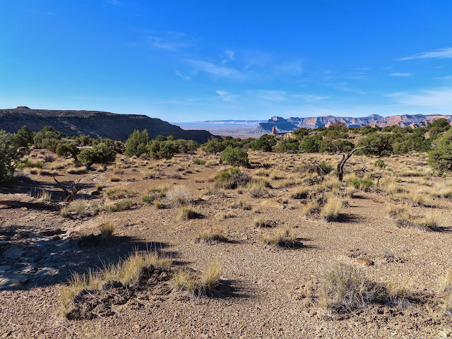
San Rafael Reef in the distance
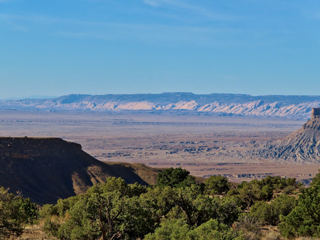
View to Gunnison Butte
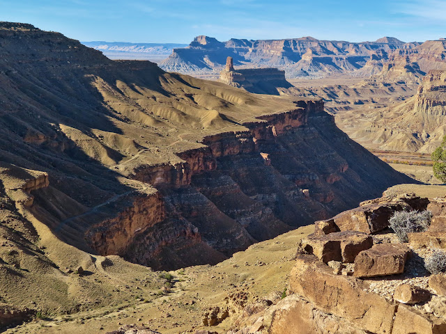
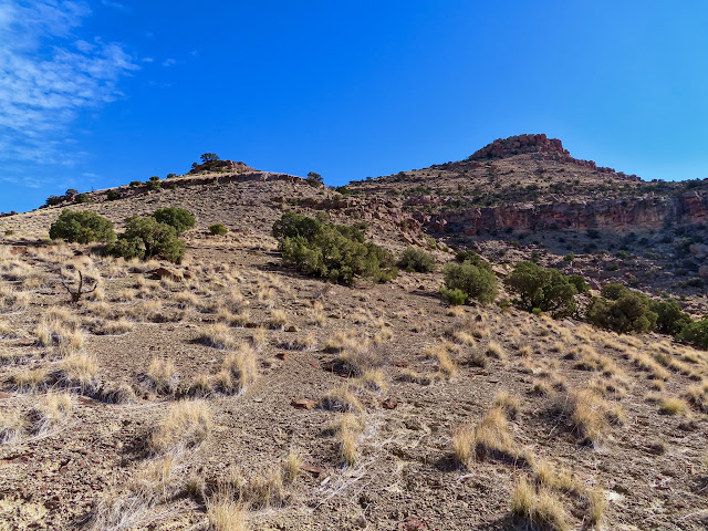
Still more climbing ahead
Bighorn sheep
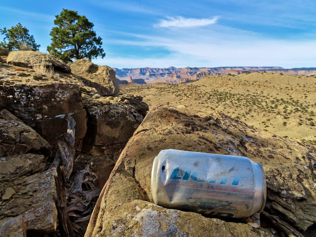
The next cliff band still showed signs of trail construction, but the one after that had absolutely none. This is also where I’d lost the trail in Google Earth while planning this hike. I still made my way up easily, finally reaching what could be reasonably considered part of Suluar Mesa at about noon. I rested and ate lunch there, dropped some geotrash, then started the return hike.
Through another cliff band

Bud Light can
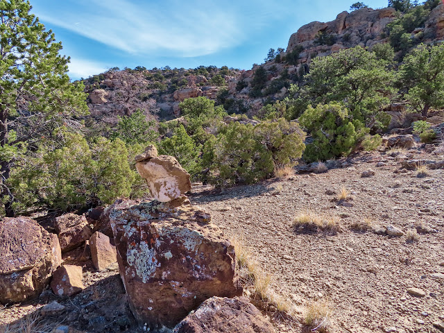
Cairn below the final cliff band
Cairn where I left a geocache
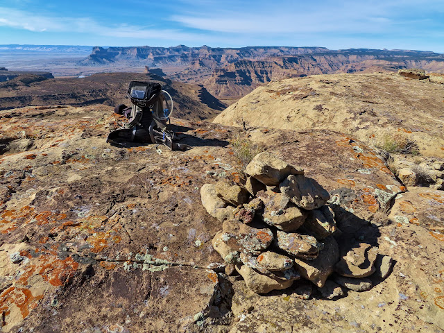
Panorama from the geocache
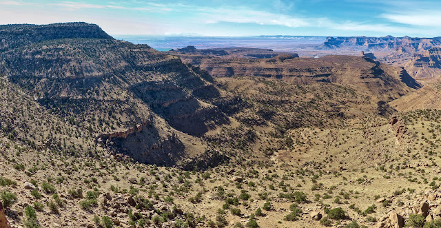
Green River Town
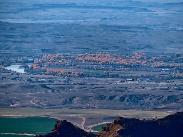
View up Short Canyon
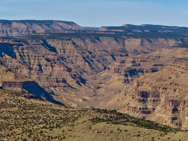
Mount Elliott
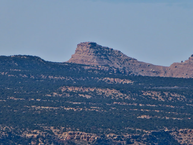
It had taken about four hours to get to the top and another three to get back down, with plenty of rests along the way. The total distance was only about 6.7 miles with 2,000′ elevation gain/loss, but it felt like more. Still, despite being a bit sore it was nice to get away for a bit.
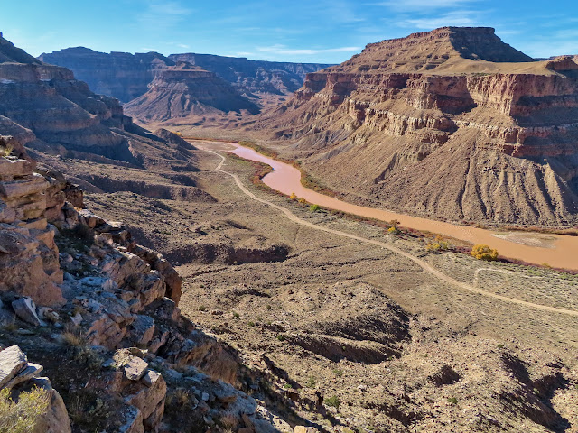
View down the Green
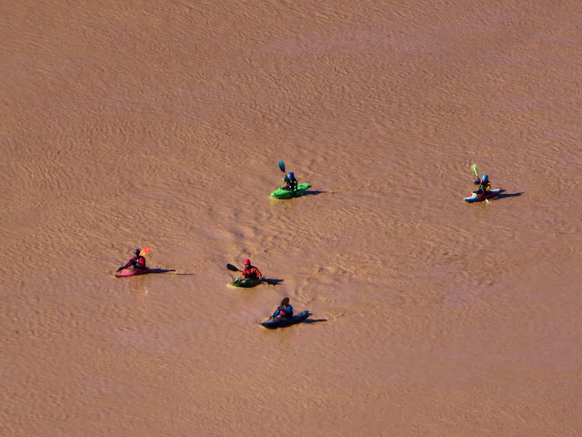
Kayakers
6.67 miles
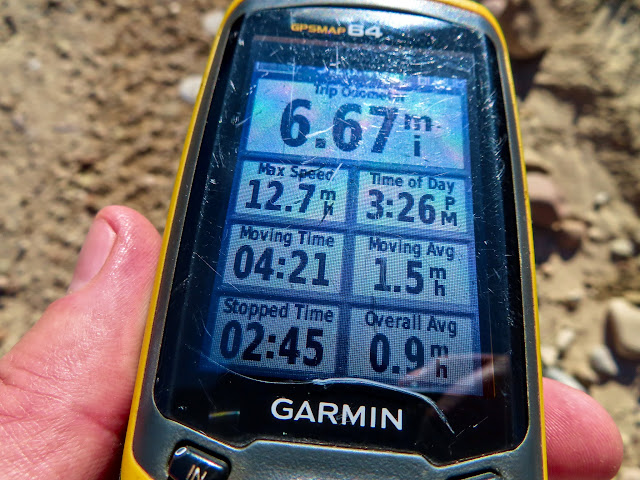
Photo Gallery: Suluar Mesa