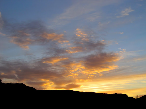
Our second day in southern Utah was spent in Nevada. 🙂 Our group was very fashionably late to breakfast at Golden Corral in St. George where we met with a large group of geocachers for their annual event held the first weekend of March. We picked up some other people after breakfast and decided to head to the Gold Butte region in Nevada. We made a quick stop at Kenny’s house to load some geocaches into our GPS units, but since I didn’t have my laptop I couldn’t load any maps. Due to the spur-of-the-moment nature of the trip I didn’t have a chance to do any research on the area where we were headed and I had little idea what was in store. We had three Jeeps and nine people as we drove past Mesquite and into the desert.
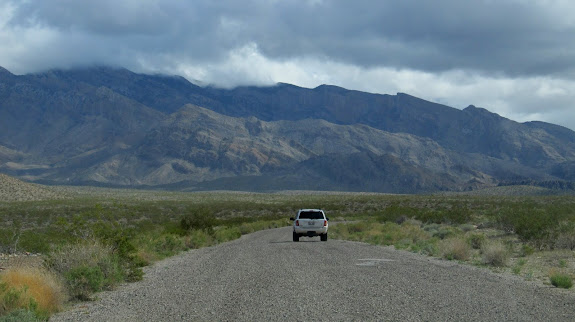
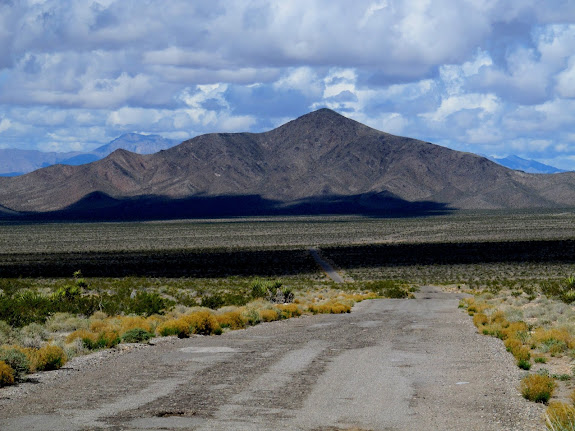
Driving along the Gold Butte Road
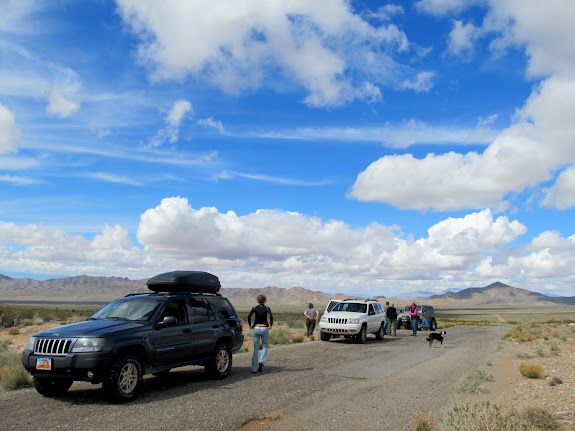
Taking a break from the long drive
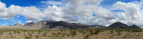
Virgin Mountains panorama
Gold Butte Road and Little Virgin Peak
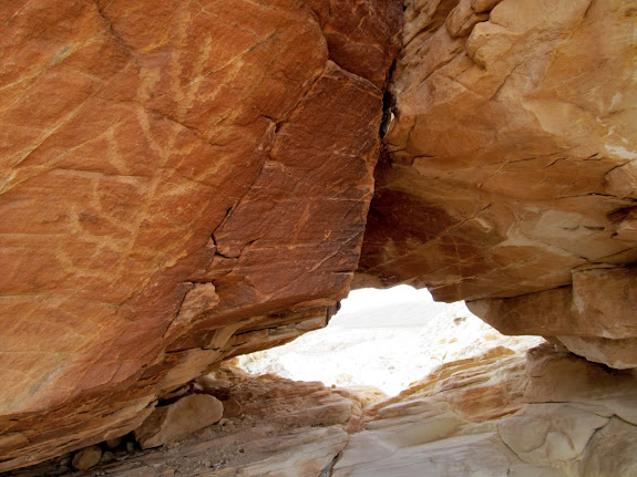
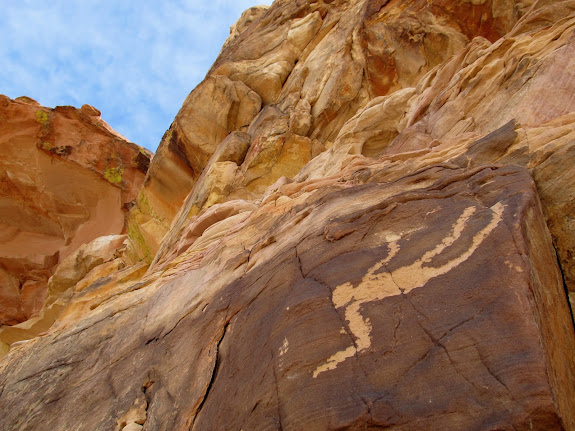
We turned south before reaching Whitney Pocket to look for a couple of geocaches. We DNFed on the first cache but found the second one which said something about petroglyphs in the name. After finding the cache we searched around for petroglyphs and found some that were so-so. I kept pressing on looking for more petroglyphs and was joined by Paul and Eric. We found some kinda interesting petroglyphs near a natural arch, then rounded a corner where I spotted the Falling Man petroglyph! It’s a pretty well-known petroglyph, and I figured there would be more great rock art nearby. We ended up hiking for almost two hours and found hundreds of petroglyphs. It was a great surprise that none of us were expecting!
Climbing up a small sandstone peak west of Whitney Pocket
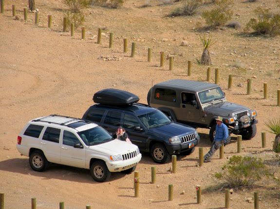
Traci and Eric at the parked Jeeps
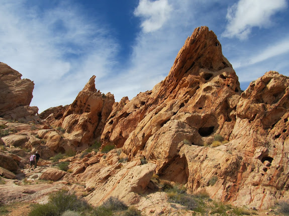
Petroglyphs
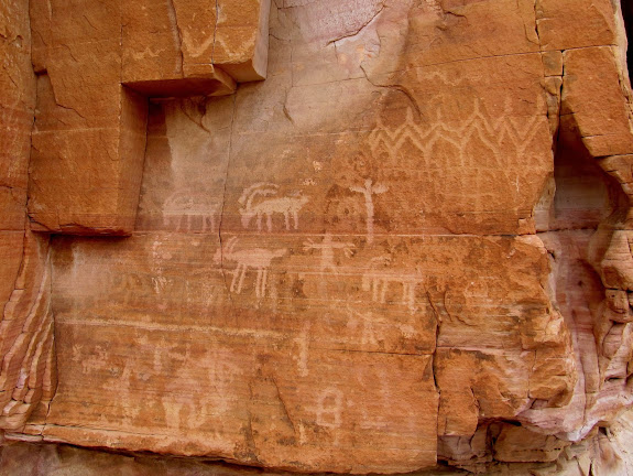
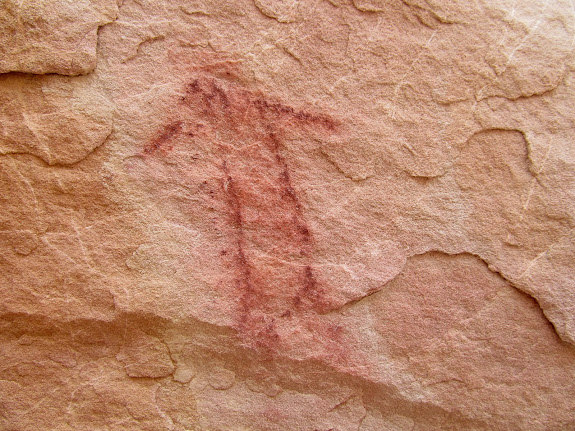
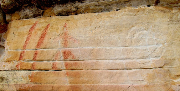
One of a very few pictographs in the area
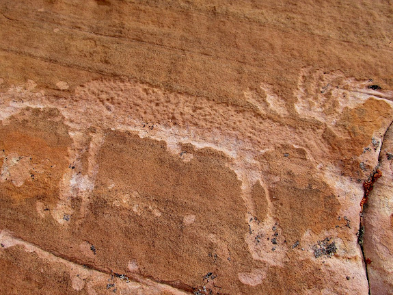
Deer(?) petroglyph
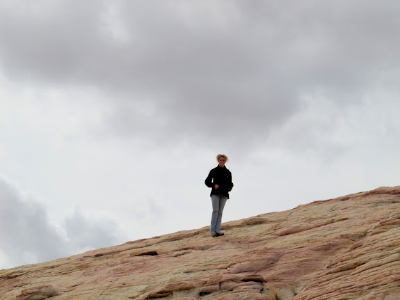
Karin on the rocks
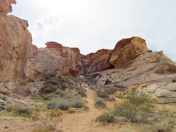
Following a trail to more rock art
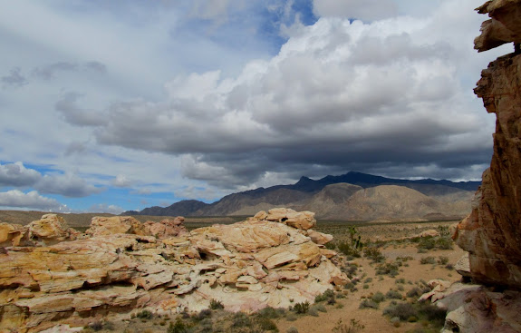
Dark clouds over the Virgin Mountains
Petroglyph and a natural arch
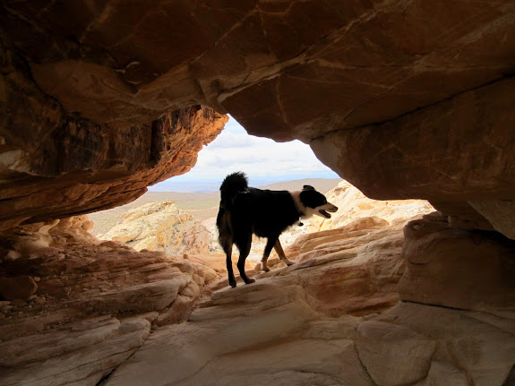
Bosley in the arch
Falling Man
Eric through an arch
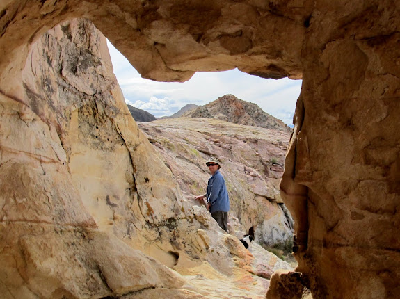
Little Falling Man
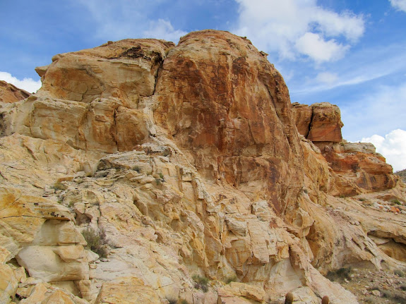
Cliffs with a large concentration of petroglyphs
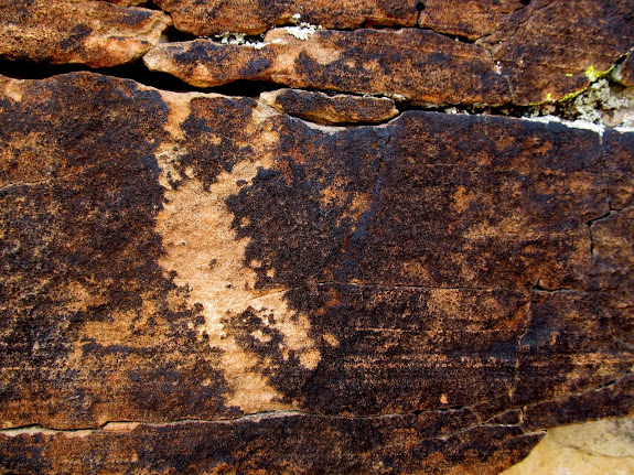
Petroglyphs
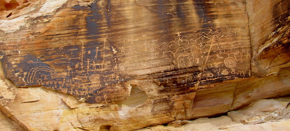
Mmm, bacon
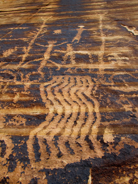
Petroglyphs
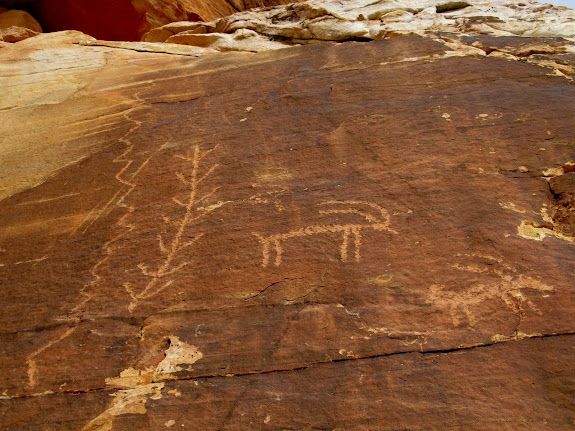
Petroglyphs
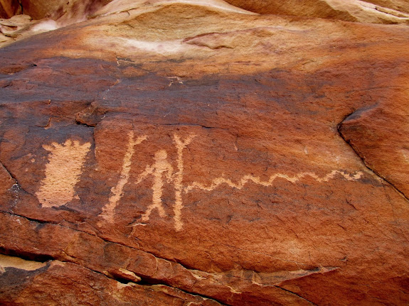
Petroglyphs
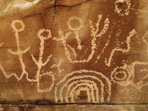
Petroglyphs
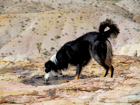
Bosley drinking from a small pothole
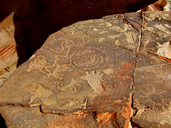
Petroglyphs
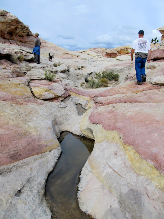
Eric and Paul hiking and looking for more rock art
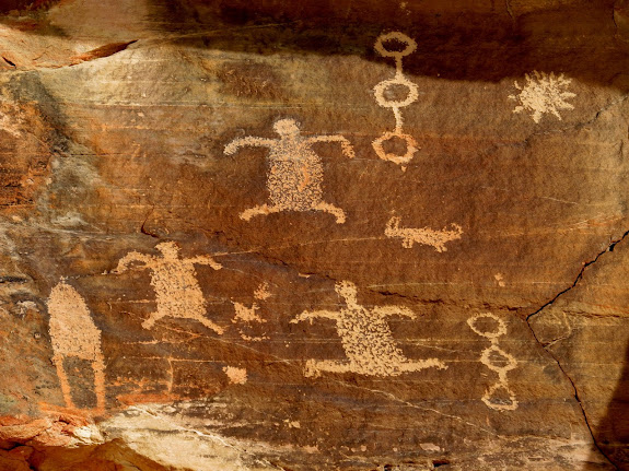
Painted petroglyphs
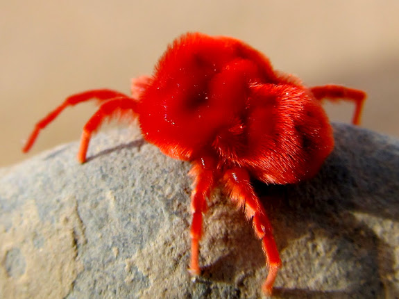
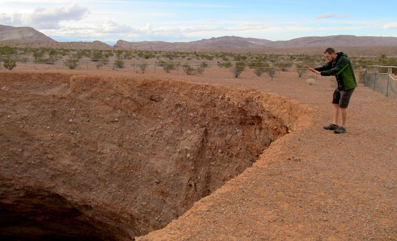
Back at the Jeeps everyone was waiting for us when we returned. Sherie had found a strange, fuzzy red bug that I found out later was a Red Velvet Mite (we were all a little freaked out by it, not knowing whether it was poisonous). We drove on to Whitney Pocket and visited a dam built by the Civilian Conservation Corps in the 1930s. From there it wasn’t far to the Devil’s Throat sinkhole. The sinkhole was fascinating but there wasn’t much to see there beyond the five minutes it took to walk around it and take in the sights.
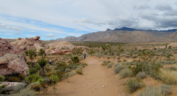
Walking back to the Jeeps
Red Spider Mite
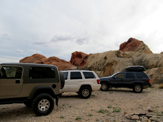
The Jeeps parked at Whitney Pocket
The approach to a CCC-built dam

Karin on top of the dam
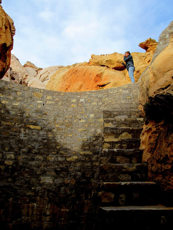
Chris on the large dam and Karin in the distance on a smaller, older dam
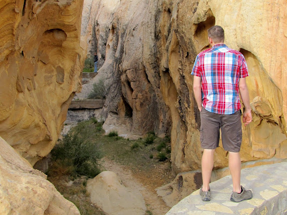
Chris apparently warming his hands by the fires of hell at Devil’s Throat sinkhole
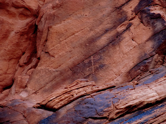
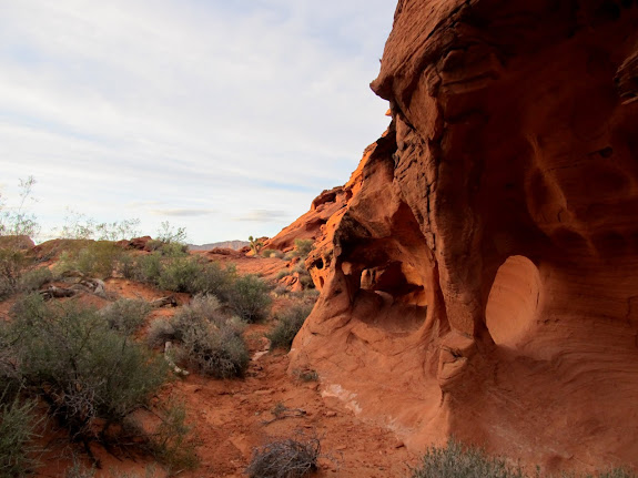
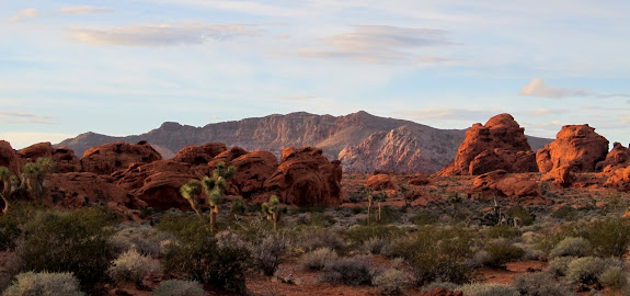
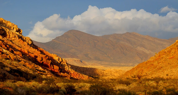
Next we drove down Mud Wash to another petroglyph panel. We tried getting to Devil’s Fire (aka Little Finland) before sunset but we didn’t make it. The sun dropped below the horizon while we were finding a geocache called Little Finland, but none of us knew the actual Devil’s Fire location was almost a mile away. I have a feeling we’ll all be back to experience it another time. We drove back in the dark and ate a late dinner at the Pasta Factory in St. George before retiring to Hurricane for a good night’s sleep after a long day.
Mud Wash petroglyphs
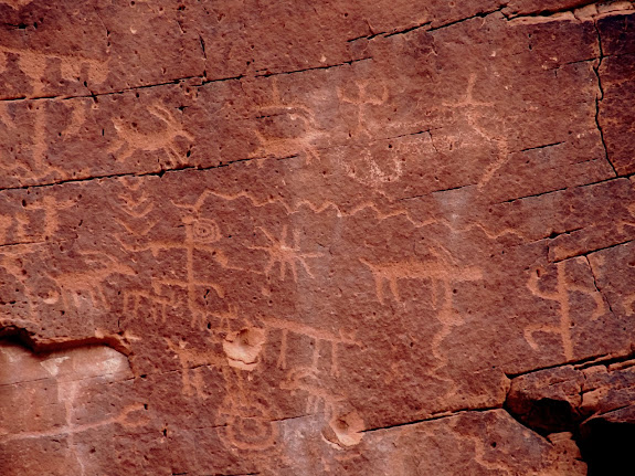
I loved this high, lone lizard petroglyph
Small arches near Mud Wash
Near Mud Wash with Bitter Ridge in the distance
View up Mud Wash toward Whitney Ridge
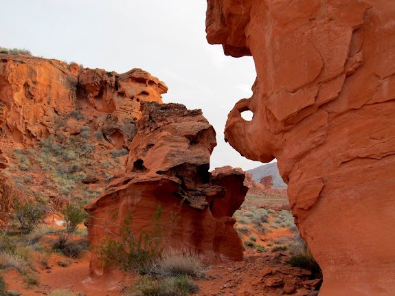
Sandstone funkiness near Devil’s Fire
Clouds after sunset