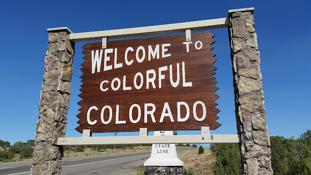
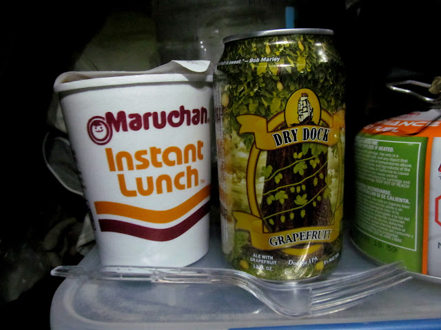
During this year’s long Independence Day weekend, my friend Chris and I traveled to the San Juan Mountains of Colorado to hike a 14er and do some camping and off-roading over high mountain passes. We left Utah on Friday afternoon with only a general idea of where we would end up for the night. Of the several easier 14ers in the San Juans, we chose Uncompahgre Peak while on the road, and I pointed the Jeep toward Lake City and then Nellie Creek. We hoped to find a place to camp along the road to the trailhead. All of the spots we passed on the lower half of the road were occupied and I was worried that we’d have to camp at or near the trailhead. Surprisingly, a short side road had a decent place to camp at its end, and we claimed it. It was shortly after 10PM. I fixed a quick dinner paired with a beer that I’d picked up earlier in Grand Junction. Chris and I had each recently bought cots, and we slept on them out in the open.
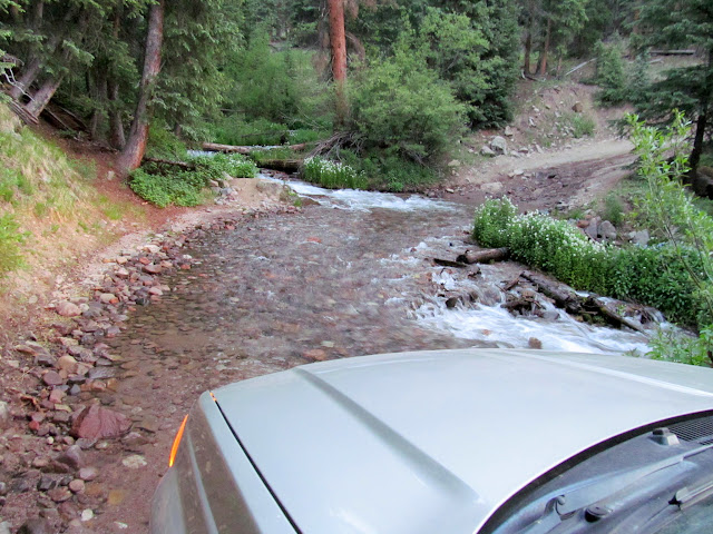
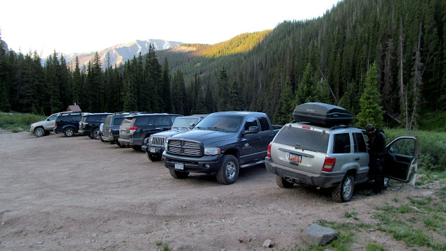
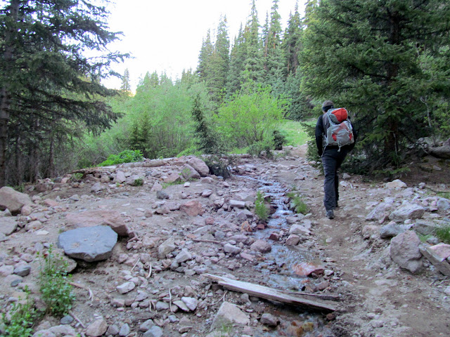
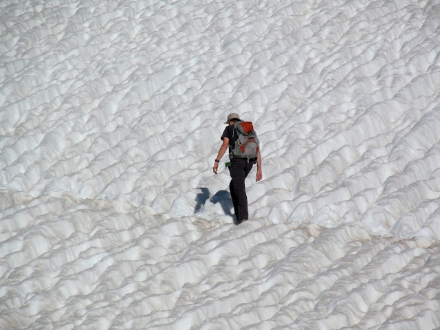
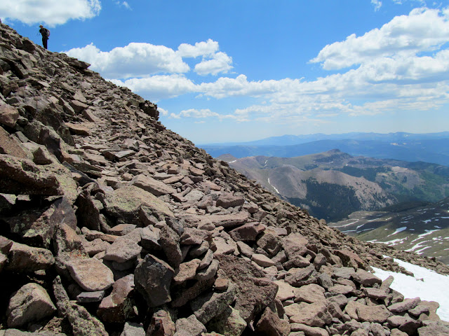
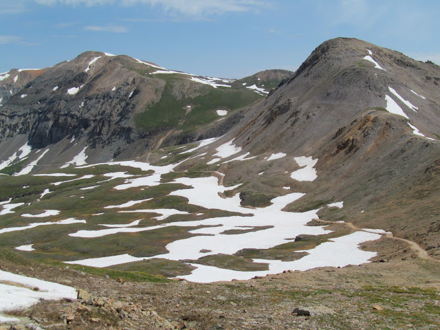
We awoke before 5:30 with our sleeping bags covered in a light layer of frost. I had slept fairly well but not nearly long enough. We were on our way up the road to the Uncompahgre Peak trailhead after a quick cup of coffee. It was cool and comfortable hiking weather when we hit the trail at 6:30. We hiked the first mile along Nellie Creek in the shade. Above the switchback that climbs a ridge out of the creek drainage, the sun appeared and warmed things up. I had felt fit enough to do this hike without much effort, but it was actually wearing me down pretty badly. I had to stop frequently to rest, and as we climbed higher I got a headache and felt my pulse throbbing in my head. When I started feeling nausea, it was clear that the altitude was affecting me. The symptoms were bearable, however, and I continued slowly ascending the trail. We had to cross a few snow fields that were pretty easy, even without traction devices.


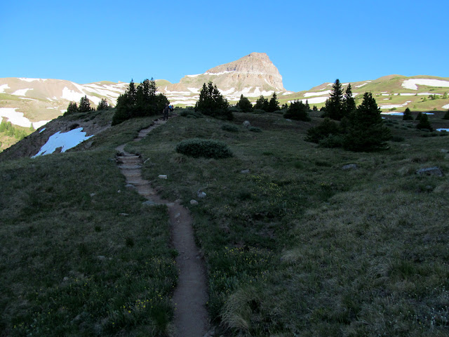
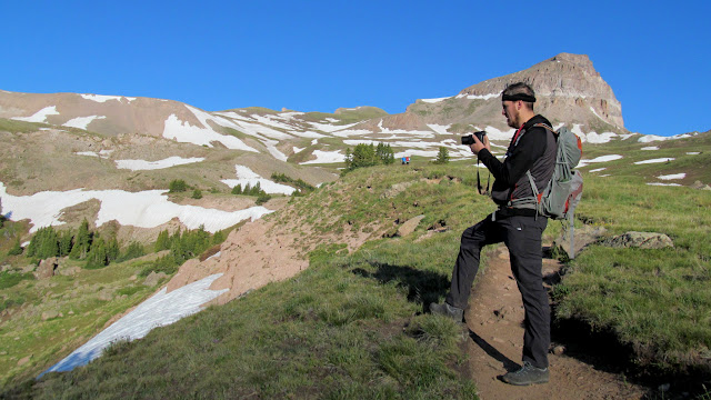
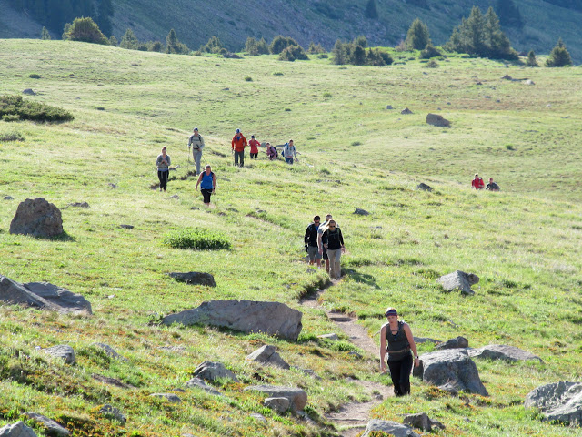
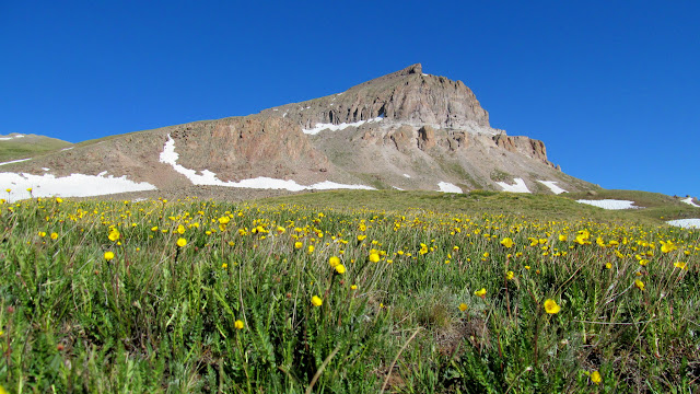
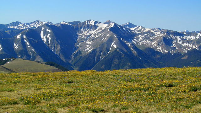


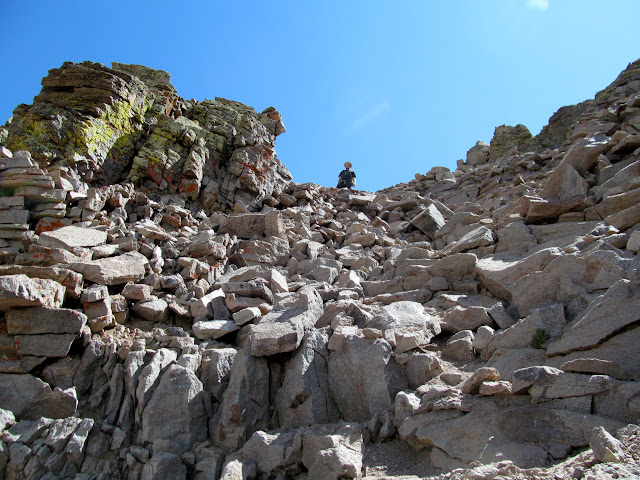
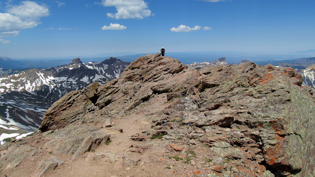
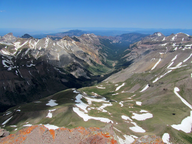
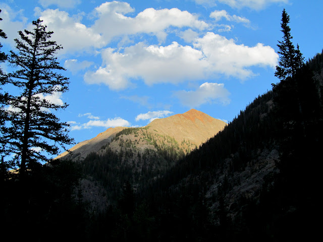
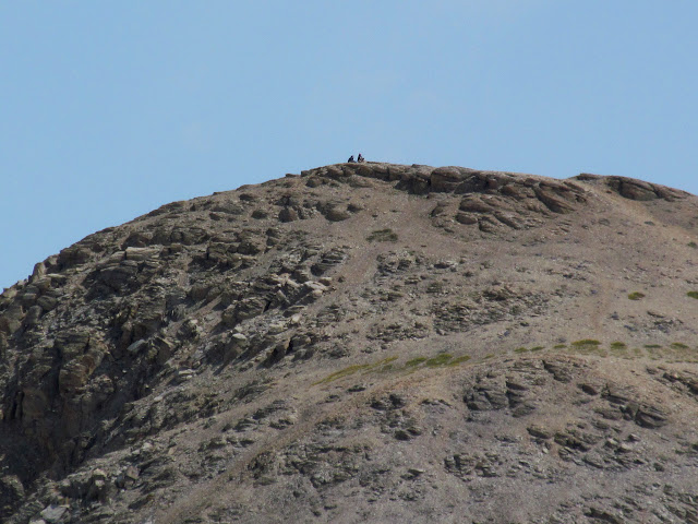
Some easy scrambling was required to get on top of the summit block of Uncompahgre. Some steep and rocky stretches of trail led to the summit, which Chris and I shared with only a few other people. Most everyone else had already summited and were on their way back down. I was relieved to have made it to the summit, knowing that I should start feeling better as I descended. The total ascent was about 3,000 feet in under four miles and had taken me five hours. I didn’t really feel better while hiking back down the trail, but I did make good time, reaching the trailhead about 2.5 hours after leaving the summit.

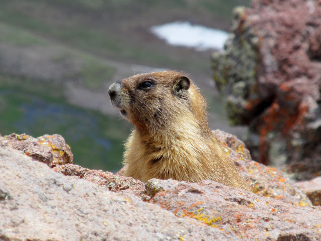
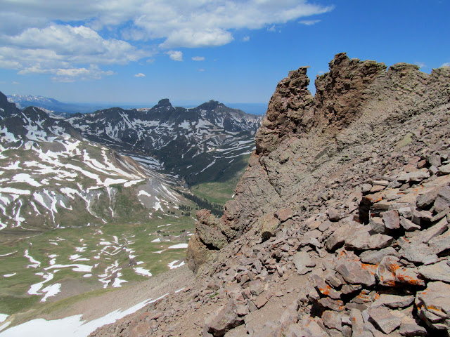
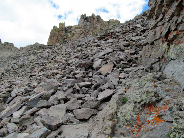
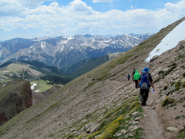
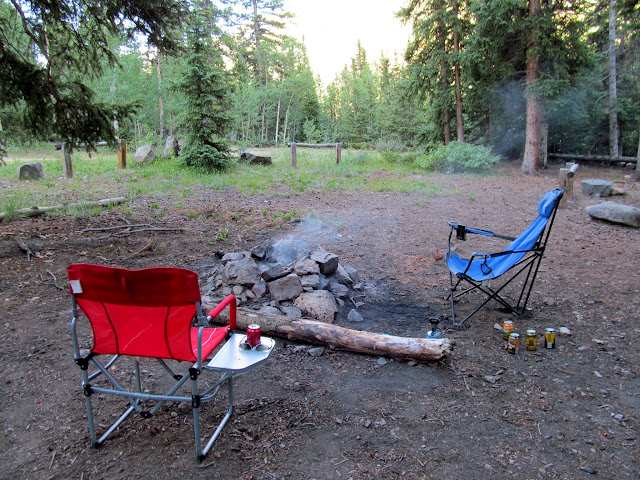
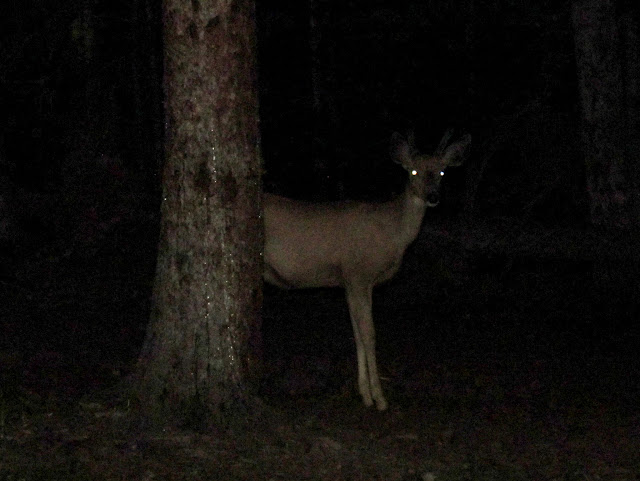
It was relatively early in the day but I was ready to find a place to camp so I could rest for the remainder of the day. We found a pretty nice primitive campground along Henson Creek that was completely deserted, so we settled in for the evening. I felt well enough to have a couple of beers that we cooled off in the creek. After dark a deer visited our camp, three times! At first it seemed cute, but after chasing the deer off two times, it returned and got within 20 feet of us before we noticed it as we sat around the camp fire. Neither of us really wanted to sleep outside with the deer acting so strangely, so we rearranged our gear and slept in the back of the Jeep.
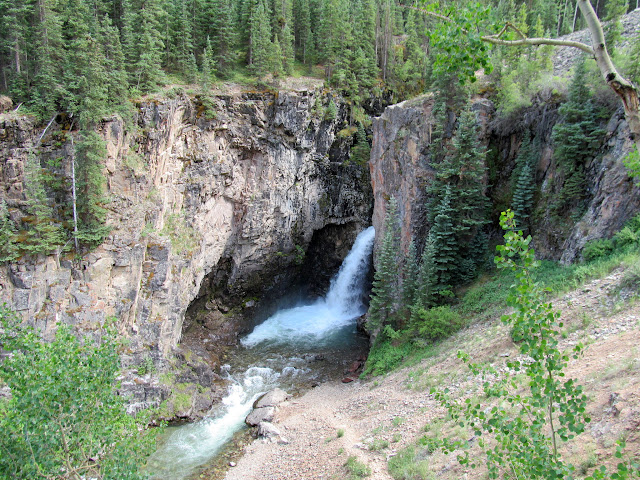
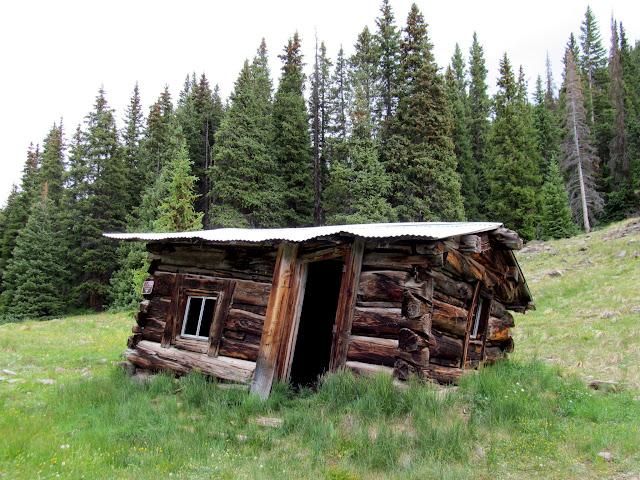
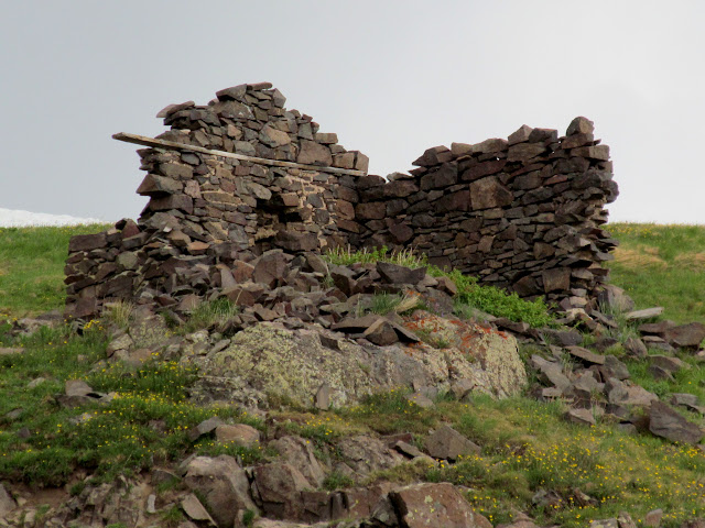
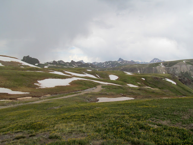
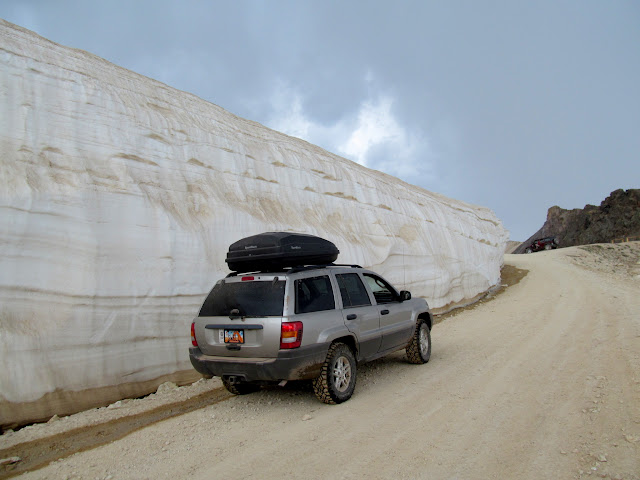
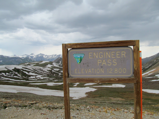
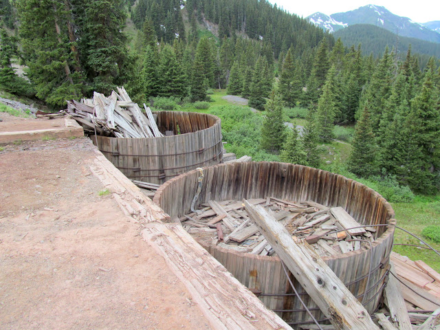
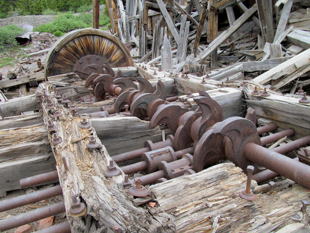
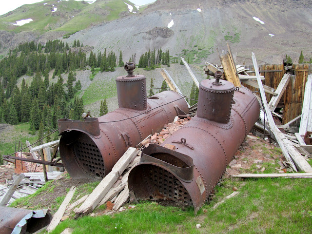
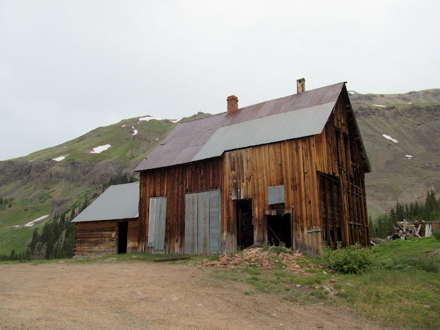
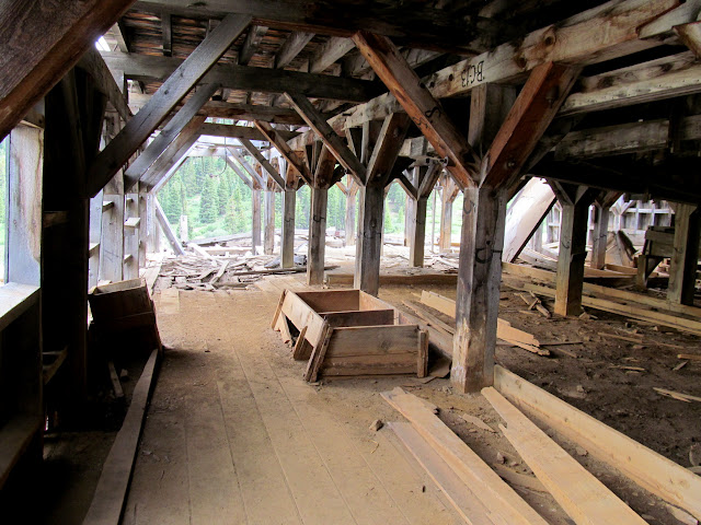
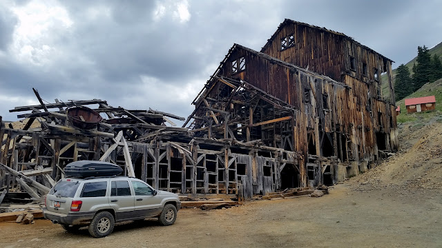
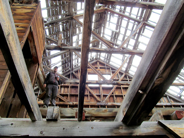
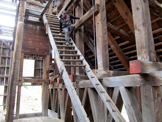
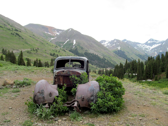
It was nice to sleep in on Sunday morning. Chris and I casually repacked our gear into the Jeep while eating breakfast and just enjoying the quiet morning. We hit the road at about 10:30AM, planning to drive over Engineer Pass toward Animas Forks and eventually to Silverton. We stopped many times to investigate mining ruins. Among my favorites were the San Juan Chief and Frisco mills. Getting to walk/climb around inside these massive structures is a unique experience. In Utah, the Division of Oil, Gas, and Mining has been working hard for years to close and reclaim abandoned mine sites, so I congratulate Colorado for leaving these intact (and, in some cases, stabilizing or restoring).
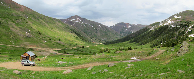
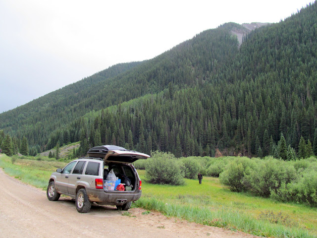
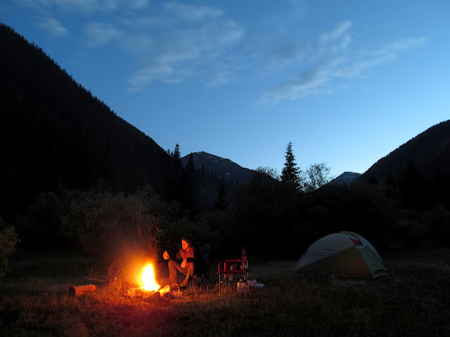
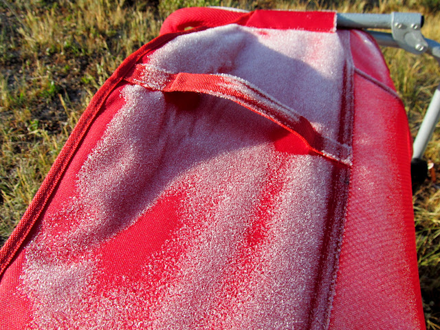
After refueling in Silverton we began searching for a place to camp. The South Fork of Mineral Creek was the first turnoff we saw from the highway, so we decided to check it out. I wasn’t expecting it to be so crowded! Primitive camping is allowed along the sides of the road, but nearly all of the good spots were occupied. Eventually we found a spot about 300 feet off the road that was flat, grassy, and surrounded by tall bushes that offered plenty of privacy. We waited out a rain storm before making several trips hauling gear between the Jeep and our camp. We set up tents and enjoyed a camp fire as the skies cleared. It didn’t feel particularly cold that night but I woke up to heavy frost on my tent and gear.
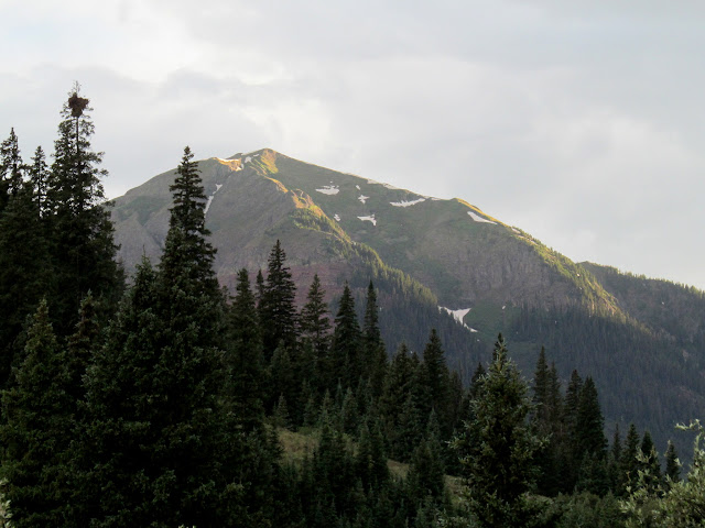
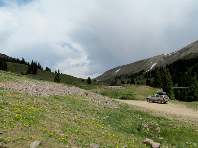
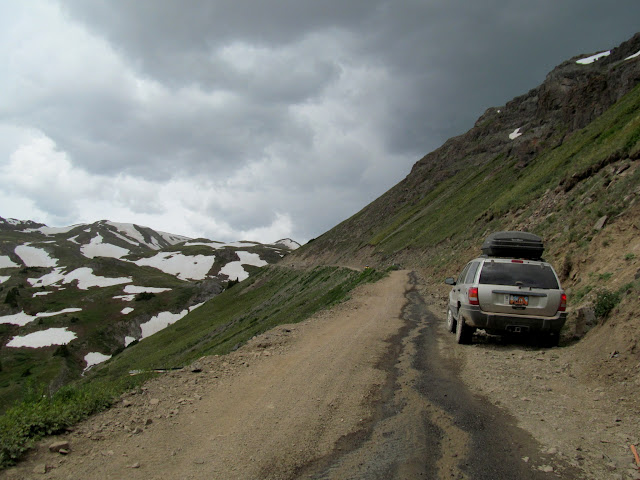
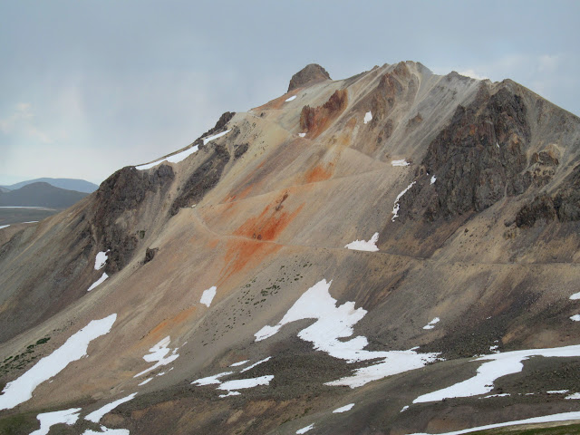
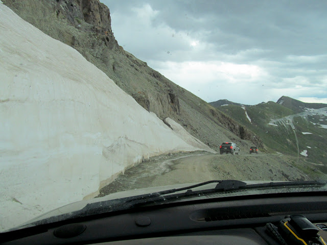
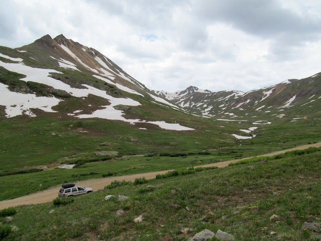
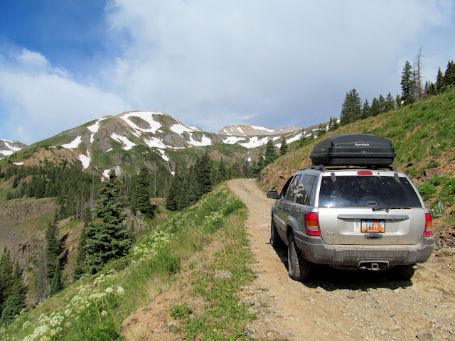
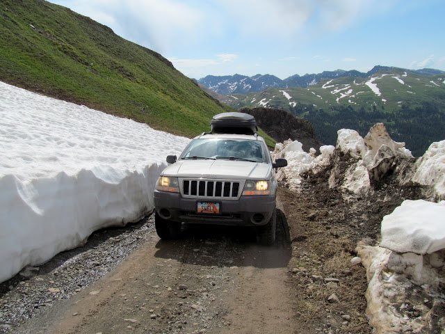
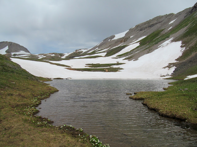
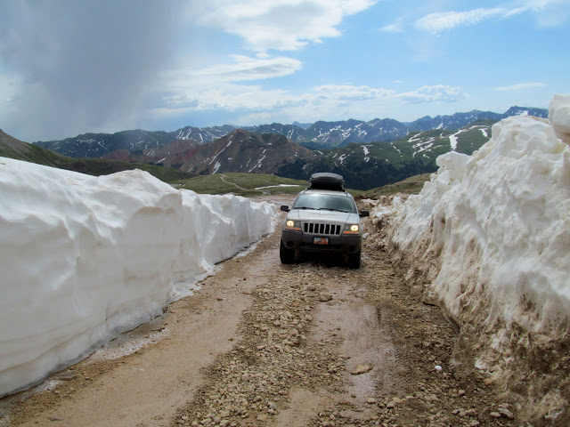
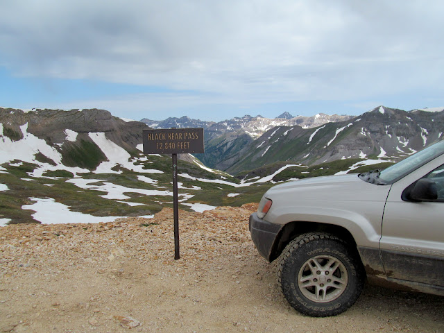
The plan for Monday was to drive over Black Bear Pass into Telluride and then home. The drive from Highway 550 to Black Bear Pass was narrow and incredibly steep in places. I was dreading an encounter with an opposing vehicle but it never happened. It was also an incredibly scenic drive, with great mountain views and fields of wildflowers. Unfortunately, we hadn’t checked online for conditions before making the drive. San Juan County had cleared all the snow off their side of the pass, but San Miguel County hadn’t yet done so from the Telluride side. From Black Bear Pass we could see that the road was impassable. We made a short, steep hike near the pass to find a geocache, then descended back to the highway the way we’d come up, fortunately once again not meeting any oncoming vehicles.

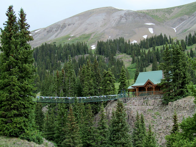
Plan B was to continue to Ouray, stopping along the way at more old mines and buildings. The hike to the Colorado Boy mine was short and easy, leading to an immense building over a vertical mine shaft. Several houses in Ironton were fascinating to walk through. We attempted to drive to an old railroad turntable and a suspended foot bridge near Corkscrew Gulch but ended up on the wrong side of the canyon. By then it was about time to start heading home so we drove toward Ouray. Both Ouray and Ridgeway were ridiculously busy, so we pressed on to Montrose where we each thoroughly enjoyed a burger, fries, and shake to end the trip. The rest of the drive home went quickly, though it was almost depressing going from the mountains into the valleys where it was 104 degrees.
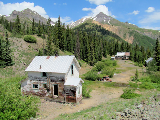
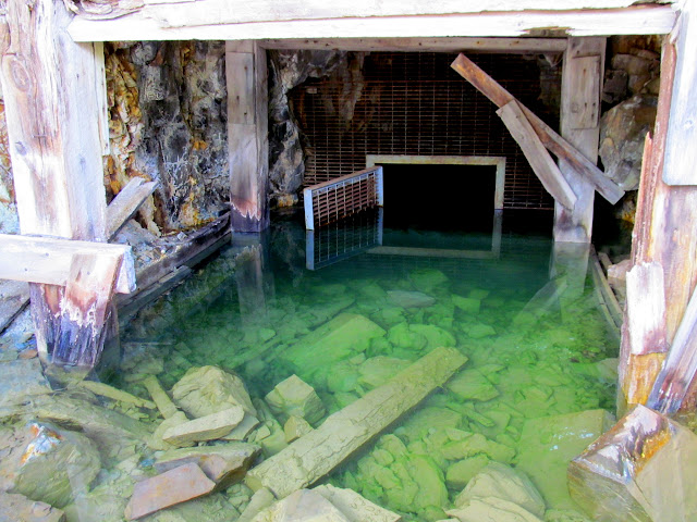
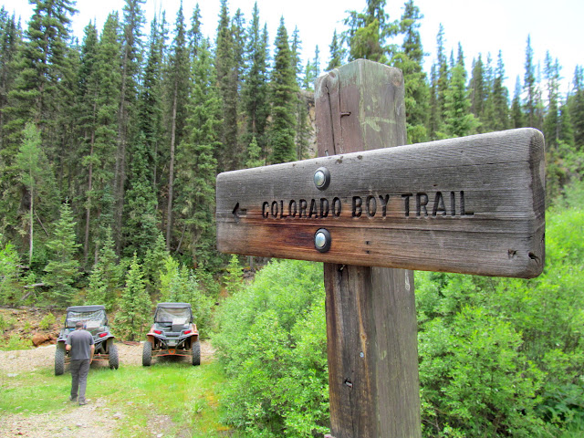
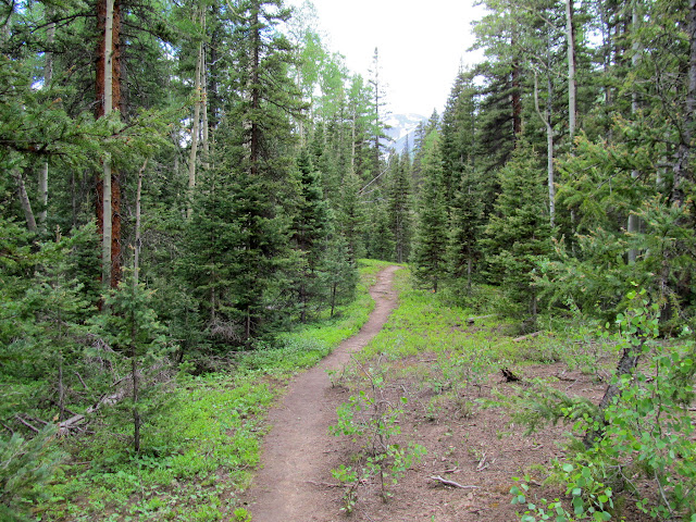
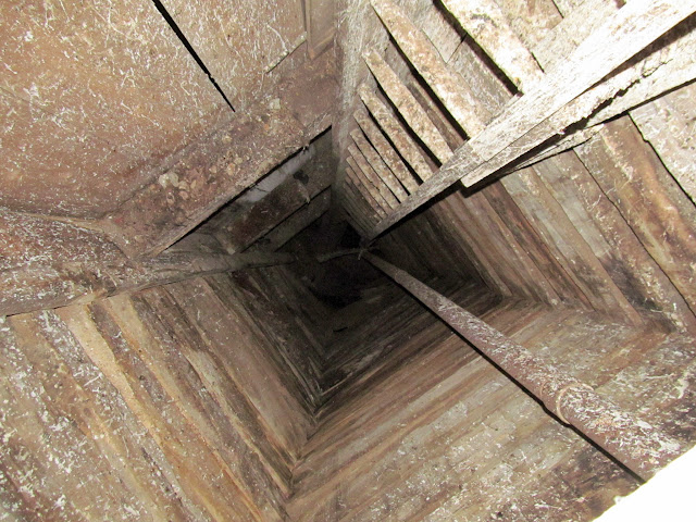
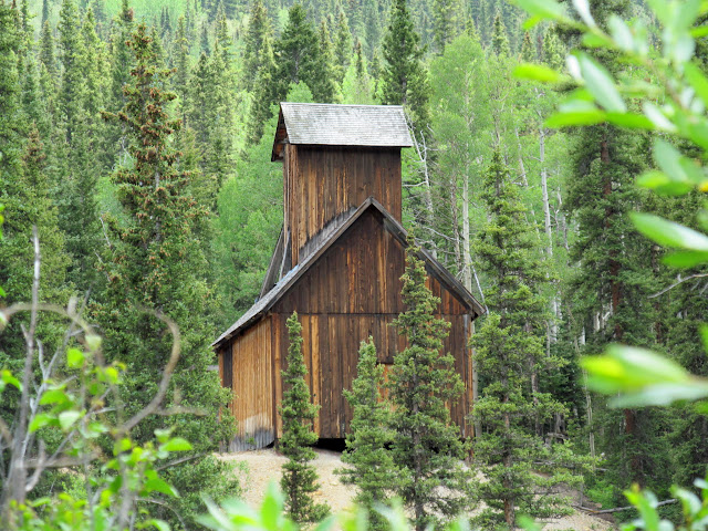
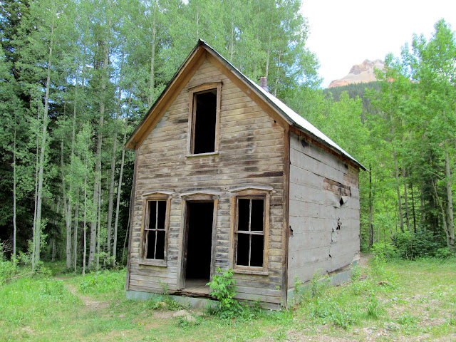
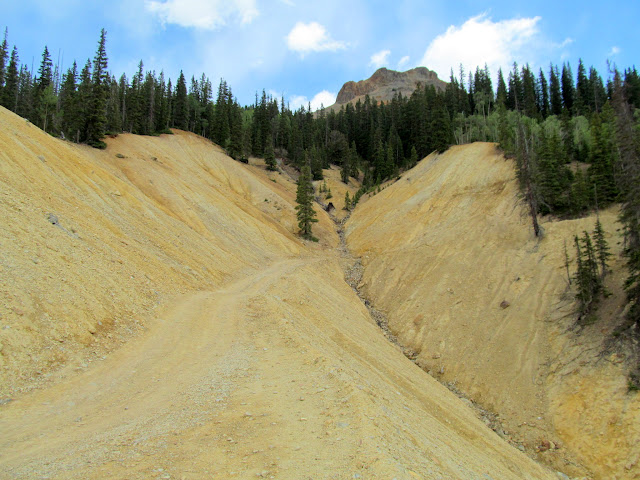
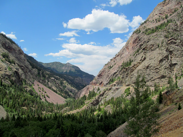
Photo Gallery: Uncompahgre Peak and the San Juans
GPS Track and Photo Waypoints:
[Google Earth KMZ] [Gmap4 Satellite] [Gmap4 Topo]